About this place
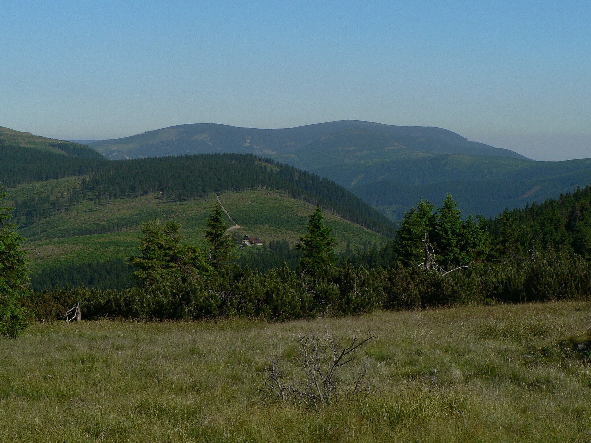
Dlouhé stráně is a mountain peak rising above the municipality of Loučná nad Desnou in the eastern Sudetes of the Czech Republic.
The summit reaches an elevation of 1,354 m above sea level and forms part of the Hrubý Jeseník range, in the Moravian region of northeastern Czechia. Administratively, it belongs to the municipality of Loučná nad Desnou, which sits at the foot of the range and serves as the natural gateway for anyone exploring this part of the Jeseníky mountains. The peak lies roughly 5.5 km southwest of Praděd, the highest summit in the entire eastern Sudetes range — a distance short enough that the two mountains are often mentioned together when describing the area's high-altitude terrain. The Dlouhé stráně massif itself covers an estimated area of about 5.1 km², with slopes averaging around 17 degrees of incline, giving the mountain a clearly defined silhouette visible from several vantage points nearby.
How do you get to Dlouhé stráně?
Most visitors use Loučná nad Desnou as their starting point, since the village sits directly at the base of the range and offers the most practical access to the mountain and its surroundings. The peak's coordinates (50.07125 N, 17.15675 E) make it straightforward to pinpoint on a map when planning a route from larger towns across the Moravian region.
What defines the surrounding landscape?
The Hrubý Jeseník range is one of the most distinctive parts of the eastern Sudetes, shaped by individual peaks like Dlouhé stráně that stand out as clear landmarks across the terrain. Its proximity to Praděd — the tallest point in the whole range — makes the area a natural draw for hikers interested in the region's mountain topography. With a massif spanning more than 5 km² and an average slope gradient of 17 degrees, the ground around the summit varies from gentler approaches to noticeably steeper stretches, giving the area a varied profile for anyone moving through it on foot.
When is the best time to visit?
Like most mountain ranges in this part of Central Europe, the Jeseníky region experiences distinct seasons, and conditions on and around the summit change accordingly. Given that the peak sits above 1,300 m, weather and trail conditions at altitude can shift quickly, so it is worth checking current conditions before setting out, regardless of the time of year chosen for a visit.
Frequently asked questions
How high is Dlouhé stráně? The peak reaches 1,354 m above sea level, making it one of the higher summits in the Hrubý Jeseník range.
Which municipality does Dlouhé stráně belong to? The mountain lies within the municipality of Loučná nad Desnou, in the Moravian part of northeastern Czechia.
How far is it from Praděd? Praděd, the highest peak in the eastern Sudetes, lies about 5.5 km northeast of Dlouhé stráně.
How large is the mountain massif? The Dlouhé stráně massif covers an estimated 5.1 km², with an average slope incline of around 17 degrees.
Nearby places

Earn badges for the places you visit
Download NextOnTrip, discover new places and check off your trails.