About this place
Tupý vrch is a 1,123-metre summit located within the municipality of Loučná nad Desnou, in the northeastern Czech Republic. It rises in the Hrubý Jeseník (High Ash Mountains) range, part of the Eastern Sudetes, in the historical region of Moravia. The peak sits roughly 4.4 km west, as the crow flies, from Praděd, the highest summit of the whole range — placing Tupý vrch right at the heart of one of Central Europe's most recognizable mountain massifs.
The mountain covers an area of about 1.4 km², with slopes averaging around 25° in gradient — making it a comparatively steep, if modest, feature along the Jeseníky ridge. Its summit coordinates are 50.0879°N, 17.1703°E.
How to get to Tupý vrch
Most visitors start from Loučná nad Desnou, a municipality at the foot of the Hrubý Jeseník range and well connected to the wider Olomouc Region. Local roads and trails lead from the village toward the higher parts of the range, from where a further ascent brings hikers to the Tupý vrch area. Because of its proximity to Praděd, many visitors combine the two summits into a single, longer mountain outing.
It's worth allowing extra time for the route — the terrain of the Hrubý Jeseník, while not high-alpine, is known for shifting weather and steep sections, especially closer to the main ridge.
What you'll see around it
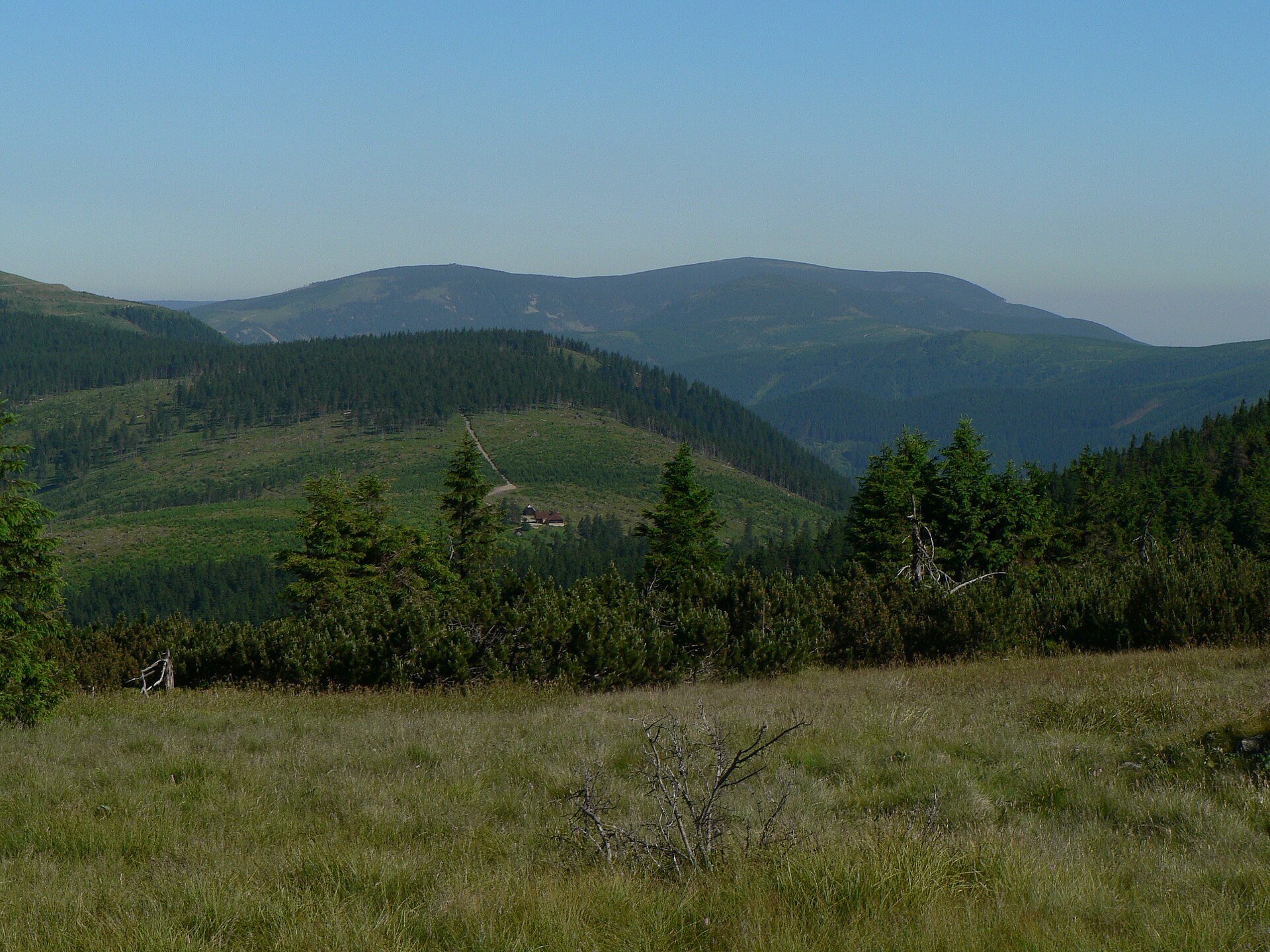
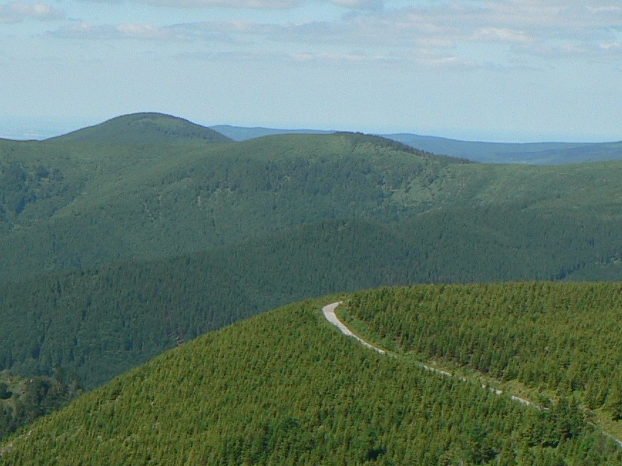
Tupý vrch sits amid the landscape typical of the Jeseníky range: rolling ridgelines, extensive forest cover, and open summit stretches higher up. Its closeness to Praděd means that from nearby vantage points, hikers get views toward the range's most defining features. The summit area itself, spanning more than a hectare, offers a quieter alternative to the busier trails leading directly to Praděd.
The Loučná nad Desnou area is a well-known gateway into the High Jeseníky mountains, giving easy access both toward the main ridge and down into the valleys carved by the Desná river, after which the municipality is named.
When to visit
Late spring through early autumn is the best window for hiking around Tupý vrch, when trails are clear and the slopes — with gradients up to around 25° — aren't complicated further by snow or ice. In winter, the High Jeseníky draws ski touring and snowshoeing enthusiasts, though this requires proper preparation and experience given the changeable weather typical of the higher Sudetes terrain.
Frequently asked questions
How high is Tupý vrch? The summit reaches 1,123 metres above sea level.
Which mountain range is Tupý vrch part of? The Hrubý Jeseník (High Jeseníky), part of the Eastern Sudetes, in Moravia.
How far is it from Praděd? About 4.4 km west, in a straight line, from Praděd, the range's highest peak.
Which municipality does Tupý vrch belong to? It lies within Loučná nad Desnou, a municipality at the foot of the High Jeseníky.
Nearby places

Earn badges for the places you visit
Download NextOnTrip, discover new places and check off your trails.