About this place
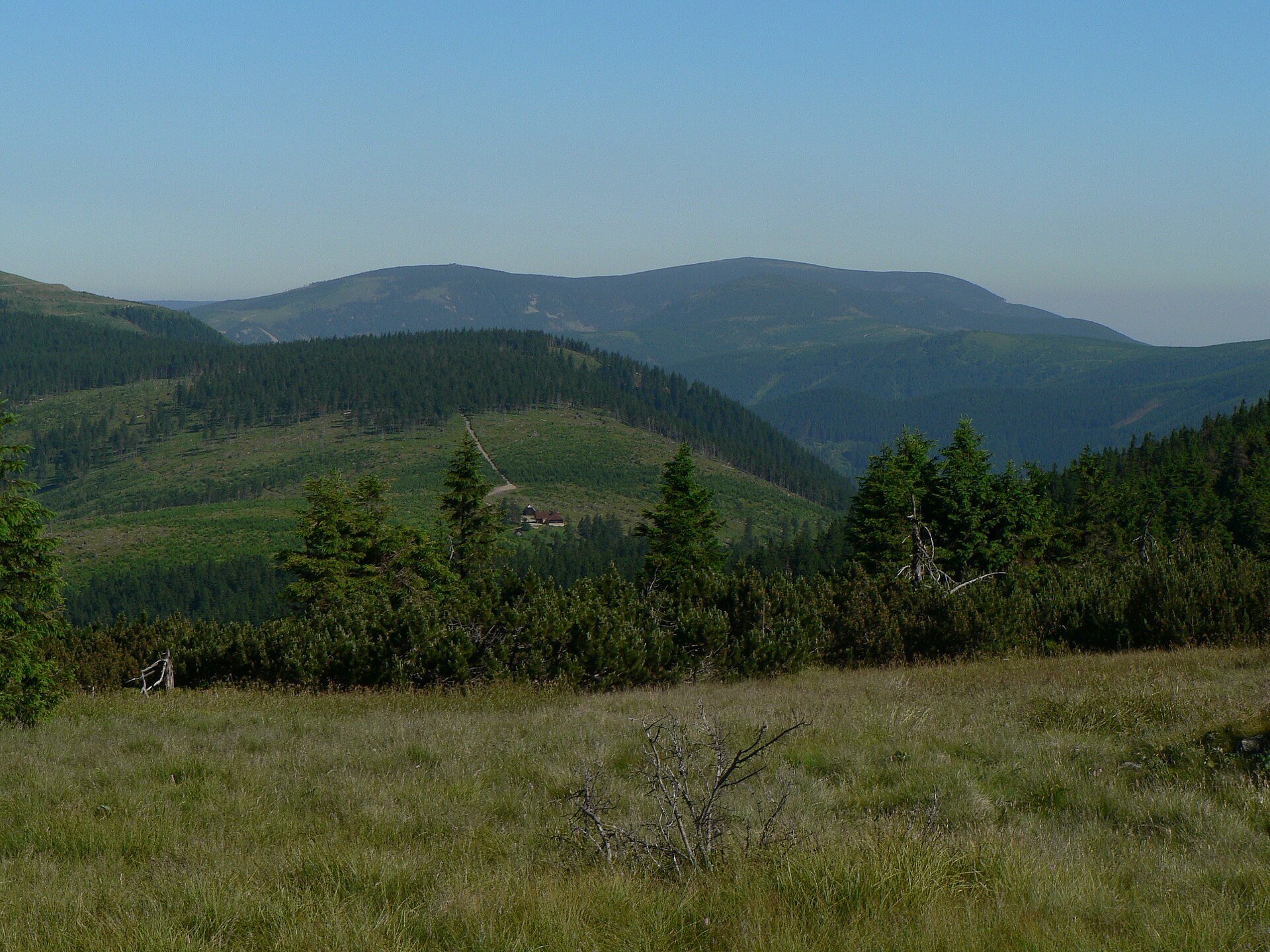
Medvědí hora rises to 1,164 metres above sea level in the Hrubý Jeseník range, within the municipality of Loučná nad Desnou and just a short distance from the village of Kouty nad Desnou. It sits roughly 6 km west of Praděd, the highest peak of the Eastern Sudetes, making it a natural stepping stone for hikers heading deeper into the range. The whole massif, slopes included, covers an area of around 3.5 square kilometres, with an average slope gradient of about 17 degrees — gentle enough that reaching the top doesn't call for specialist mountaineering skills.
How do you get to Medvědí hora?
Most visitors start from Kouty nad Desnou itself, a small settlement tucked into the Desná river valley at the foot of the Jeseníky mountains. Marked hiking trails lead out from the village into the Hrubý Jeseník range, connecting to the summit and continuing onward toward Praděd for those planning a longer day out. By car, Kouty nad Desnou is reached via local roads from Vrbno pod Pradědem or Sobotín, and parking areas in the village serve as a practical base for setting off into the hills. It's worth planning the route in advance — the terrain is genuinely mountainous, and distances between landmarks can feel longer on the ground than they look on a map.
What will you see along the way?
The slopes of Medvědí hora are covered in the spruce forest typical of the Jeseníky, opening up into more exposed terrain closer to the higher parts of the range. The gentle but broad gradient gives the hike a calmer, more contemplative rhythm than the steeper, rockier peaks found in the Krkonoše further west. The name itself — "Bear Mountain" — recalls the historical presence of bears in these forests, though today the area is known mainly for relaxed hiking and its proximity to the highest reaches of the Hrubý Jeseník. From points near the summit, clear weather can reveal wide views across neighbouring ridges and valleys of the Eastern Sudetes.
When is the best time to visit?
Late spring through early autumn is the most reliable window, when trails are dry, visibility is good, and daylight hours are long enough for extended routes toward Praděd. Summers in the Jeseníky are mild, which makes for comfortable multi-hour hikes. In winter, the area around Kouty nad Desnou turns into a base for cross-country skiing and snow-based activities, though reaching the summits at that time of year requires proper winter gear and preparation given the snow cover and shorter days.
Who is this hike suited for?
With its moderate average slope gradient of around 17 degrees and no technical climbing sections, Medvědí hora works well both for experienced hillwalkers and for families looking for a quieter alternative to the busier approaches near Praděd itself. It's also a sensible warm-up hike for anyone acclimatising before a longer trek deeper into the Hrubý Jeseník range.
Frequently asked questions
How high is Medvědí hora? The peak reaches 1,164 metres above sea level, a solid but not record-breaking elevation within the Hrubý Jeseník range.
How far is it from Medvědí hora to Praděd? Praděd, the highest peak of the Eastern Sudetes, lies about 6 km east of Medvědí hora, making it a popular onward destination for hikers.
Is the route suitable for beginners? Yes — thanks to the gentle average gradient of around 17 degrees, the climb doesn't require advanced mountaineering skills, though sturdy hiking footwear is recommended.
Where does the name Medvědí hora come from? The name translates to "Bear Mountain" and refers to the historical presence of bears in the forests of the Hrubý Jeseník range.
Nearby places

Earn badges for the places you visit
Download NextOnTrip, discover new places and check off your trails.