About this place
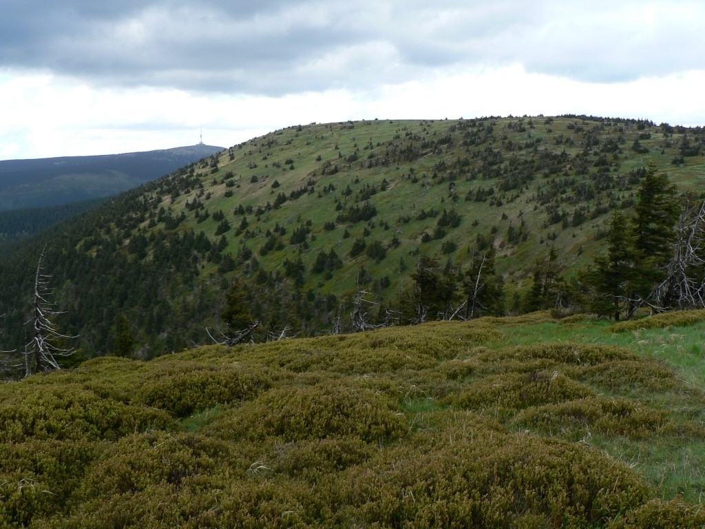
Jelení hřbet is a mountain peak in the Vernířovice municipality, rising to 1,367 metres above sea level in the Hrubý Jeseník (High Ash Mountains) range, part of the Eastern Sudetes in Moravia. It sits on the range's main ridge, between the peaks of Velký Máj and Břidličná hora, roughly 5.5 km southwest of Praděd — the highest summit in Moravia and in the Sudetes as a whole. The Jelení hřbet massif covers an area of about 2.8 square kilometres, with slopes averaging around 17 degrees of incline, steep enough to make for a proper mountain hike rather than a casual stroll.
How do you get to Jelení hřbet?
Most visitors start from the village of Vernířovice, sitting at the foot of the range on the Moravian side of the border. From there, trails climb toward the main ridge that links the surrounding peaks of the Hrubý Jeseník. Reaching Jelení hřbet means a genuine mountain ascent: the terrain varies in steepness, and sturdy footwear along with reasonable fitness are recommended. It makes sense to plan the climb as part of a longer ridge route, since the peak sits right next to Velký Máj and Břidličná hora — two other landmarks along this stretch of the Jeseníky.
What will you see there?
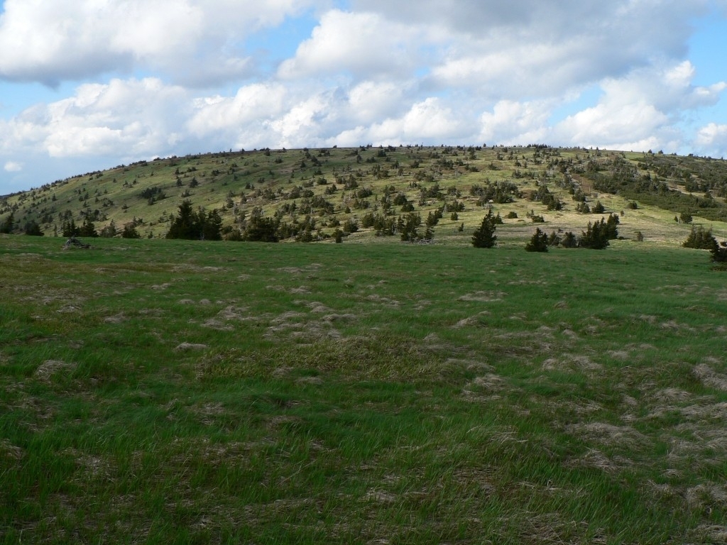
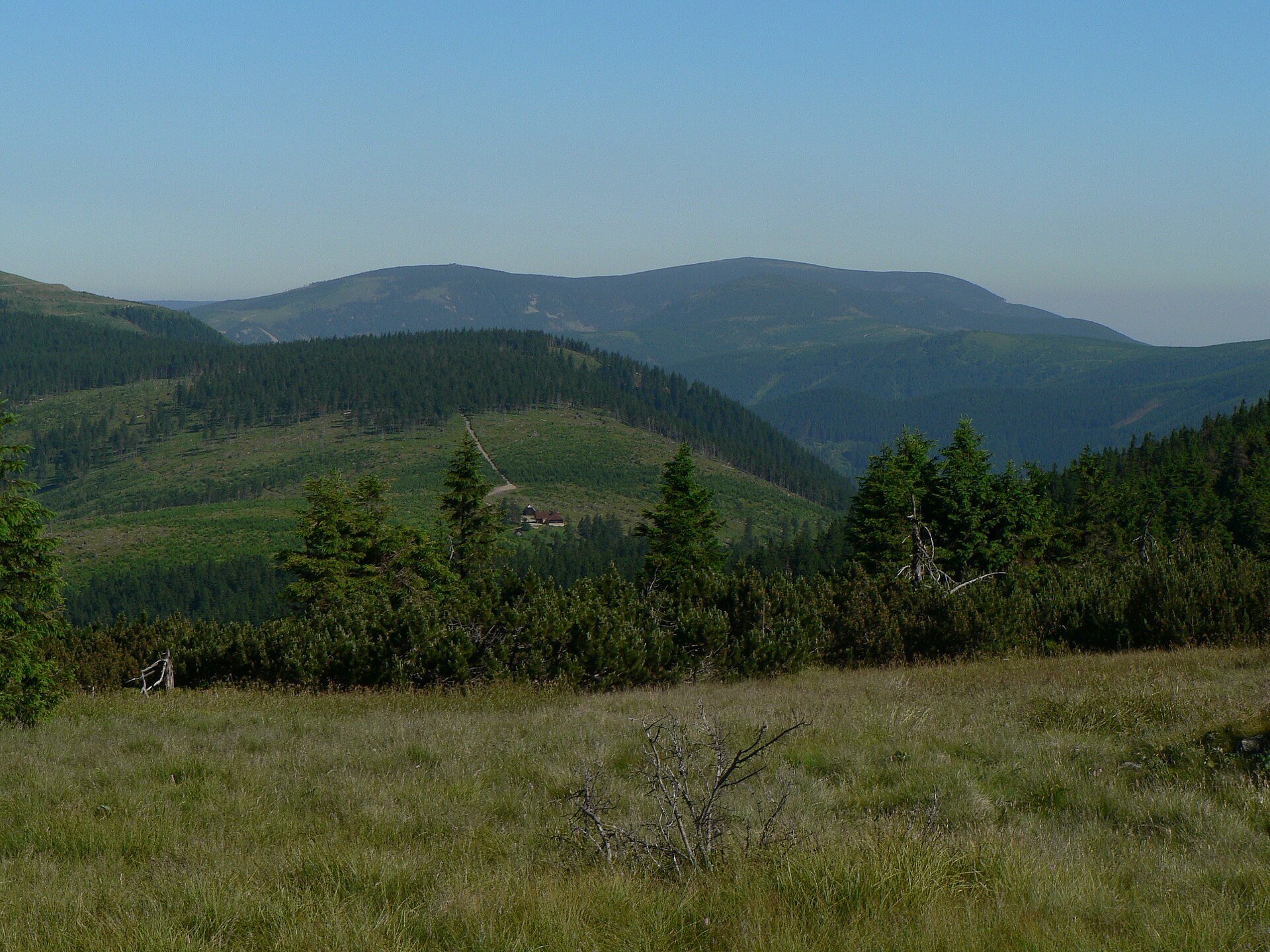
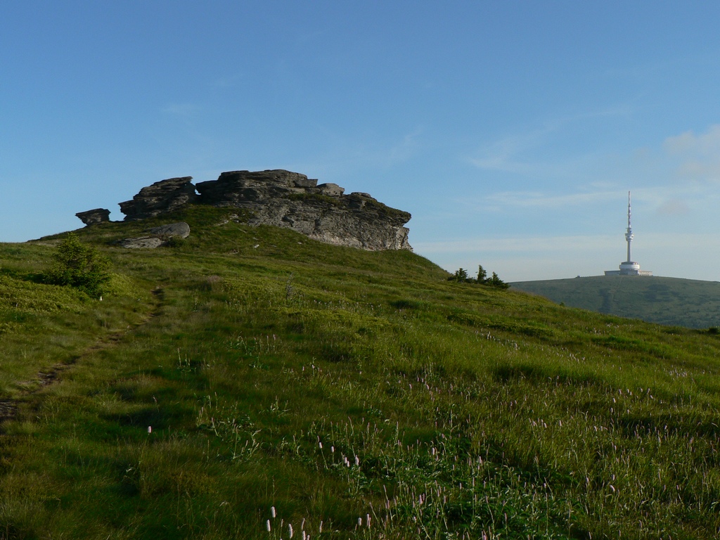
Jelení hřbet isn't a standalone, isolated summit — it's one link in a long, undulating mountain ridge typical of the Hrubý Jeseník. The landscape here is defined by rounded summit domes, forested with spruce on the lower slopes and opening into more exposed, rugged terrain higher up. Its proximity to Praděd places this stretch of ridge among the highest and best-known parts of the Eastern Sudetes, and that famous neighbour serves as a natural reference point when planning routes in this section of the mountains. With the massif spanning nearly 2.8 km², covering its slopes and ridgeline takes real time — this isn't a summit you tick off in a few minutes from a car park.
When is the best time to visit?
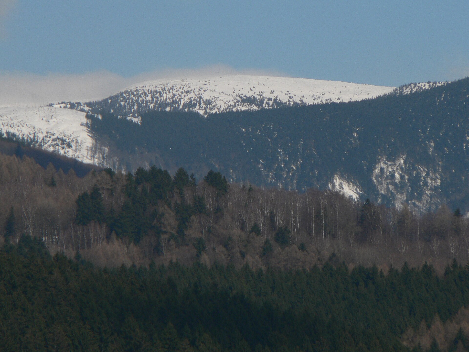
Late spring through summer and into early autumn is the best window for tackling Jelení hřbet, when trails across the Hrubý Jeseník are dry and at their most manageable — the average 17-degree slope gradient becomes considerably trickier in winter conditions or after heavy rain. Winter, on the other hand, draws cross-country skiers and snow hikers to the region, though it demands proper preparation and equipment given the genuinely high-mountain character of this part of Moravia.
Frequently asked questions
How high is Jelení hřbet? The peak reaches 1,367 metres above sea level, making it one of the notable summits of the Hrubý Jeseník range.
Where exactly is this peak located? Jelení hřbet lies within the Vernířovice municipality in Moravia, in the Eastern Sudetes, on the range's main ridge between Velký Máj and Břidličná hora.
How far is it from Praděd? Praděd, Moravia's highest peak, sits about 5.5 km northeast of Jelení hřbet, making the two summits a natural reference pair when mapping out ridge routes in the area.
Is the route difficult? Slopes here average around 17 degrees of incline, meaning a demanding ascent that calls for good fitness and solid footwear, though it involves no technical climbing.
Nearby places

Earn badges for the places you visit
Download NextOnTrip, discover new places and check off your trails.