About this place
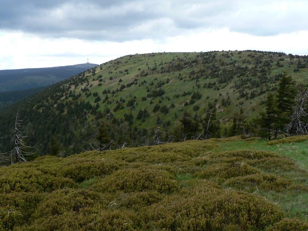
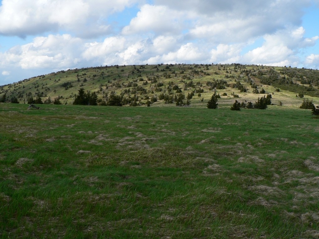
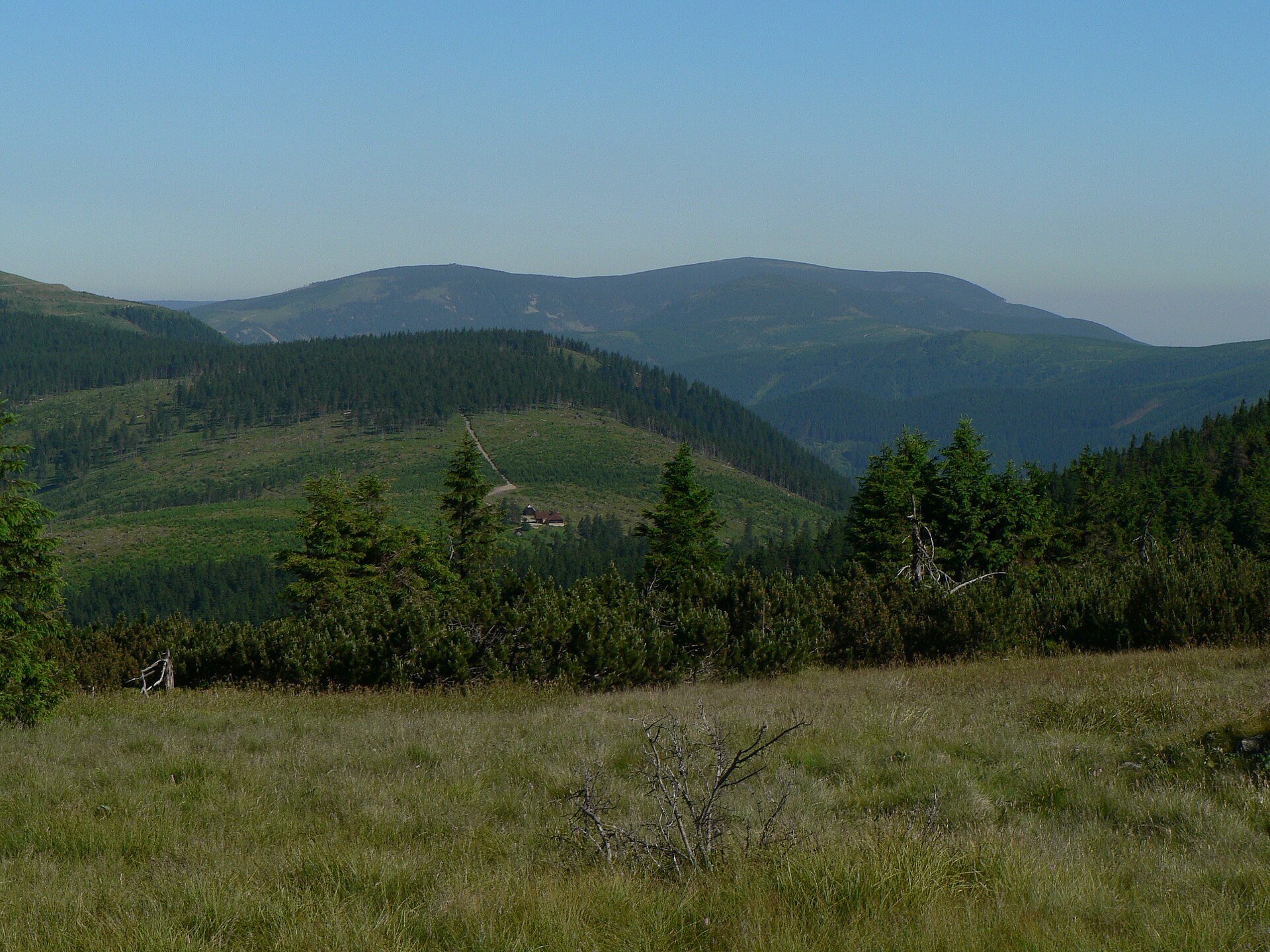
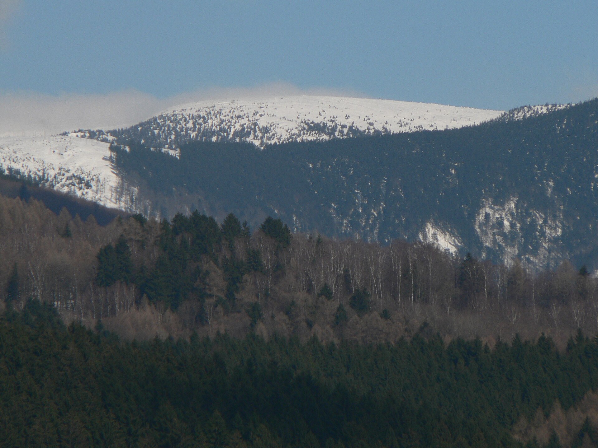
Břidličná hora is a 1,358-metre peak in the municipality of Vernířovice, part of the Hrubý Jeseník range within the Eastern Sudetes in Czech Moravia. The mountain sits directly on the range's main ridge, wedged between the summits of Jelení hřbet and Pecný, roughly 6 km southwest of Praděd, the highest peak in the entire Eastern Sudetes. The massif covers an area of about 2.9 km², with an average slope gradient of around 15° — moderate by the standards of this rugged mountain range.
Where exactly is Břidličná hora?
The peak lies in the northeastern part of the Czech Republic, within the Hrubý Jeseník (High Jeseníky), the tallest range of the Eastern Sudetes. Administratively it belongs to Vernířovice, a small mountain municipality that serves as a common starting point for hikes heading toward the range's main ridge. The summit's coordinates place it at roughly 50.033°N, 17.187°E, right inside the protected landscape area of the Jeseníky Protected Landscape Area (Chráněná krajinná oblast Jeseníky).
How do you get to Vernířovice and the surrounding area?
Vernířovice is located in the Olomouc Region, close to better-known Jeseníky tourist hubs such as Karlova Studánka and Malá Morávka. Visitors typically drive to the village along local mountain roads, then continue on foot along trails that climb toward the main ridge. Because of its proximity to Praděd, Břidličná hora is often visited as part of a longer ridge hike that links several summits into a single route rather than as a standalone destination.
What can you expect on the mountain itself?
Břidličná hora sits between two other notable points on the main Jeseníky ridge, Jelení hřbet and Pecný, making it a natural waypoint on the long ridgeline trail that strings together the range's highest terrain. The mountain's slopes, spread across nearly 2.9 km² with an average gradient of about 15°, are moderate enough to suit both summer hikers and, in winter, the region's popular cross-country skiing routes.
When is the best time to visit?
The High Jeseníky has clearly defined seasons, and weather on the exposed ridge can change quickly regardless of the time of year. Late spring through early autumn (roughly May to October) is generally the most reliable window for ridge hiking near Břidličná hora, when trails are clear and visibility along the ridge is at its best. In winter, the wider area around Praděd draws cross-country skiers and mountain winter hikers, though conditions on the open ridge can turn demanding and change fast.
What else is nearby?
The mountain's closeness to Praděd — the highest summit in the entire Eastern Sudetes — means Břidličná hora functions mainly as part of a broader ridge itinerary popular with Jeseníky visitors. Vernířovice, the usual starting point for this stretch of the mountains, retains the feel of a traditional mountain village and works well as a base for both short valley walks and longer treks up onto the main ridge.
Frequently asked questions
How high is Břidličná hora? The peak reaches 1,358 metres above sea level, placing it among the taller summits of the High Jeseníky, though well below neighboring Praděd.
Which mountain range is it part of? Břidličná hora lies within the Hrubý Jeseník (High Jeseníky), part of the Eastern Sudetes in Czech Moravia.
How far is it from Praděd? Praděd's summit lies about 6 km to the northeast, on the same main ridge, which lets hikers combine both peaks in a single route.
Which municipality does the mountain belong to? Břidličná hora falls within the municipality of Vernířovice, a small village at the foot of the Jeseníky range.
Nearby places

Earn badges for the places you visit
Download NextOnTrip, discover new places and check off your trails.