About this place
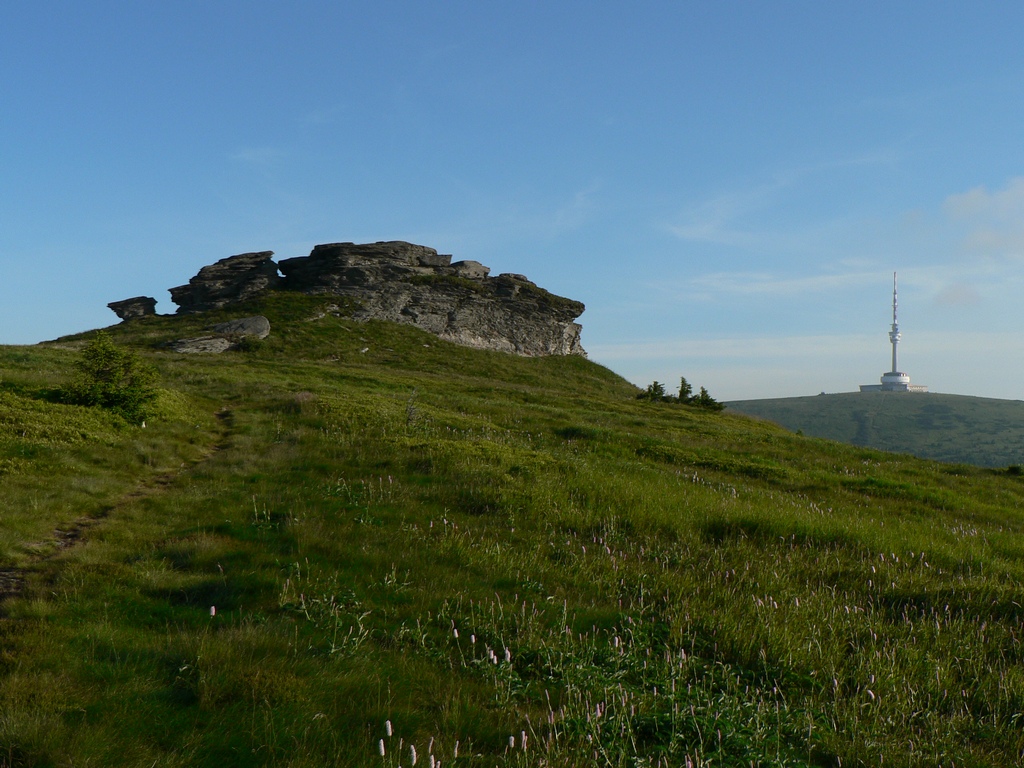
Petrovy kameny is a rocky summit rising to 1,447 metres above sea level in the Hrubý Jeseník range, within the municipality of Malá Morávka in the northeastern Czech Republic. It sits directly on the main ridge of the range, just a short walk from Praděd, the highest peak of the region, which makes it a natural stop for hikers crossing this part of the Eastern Sudetes.
Where is Petrovy kameny located?
The rock formation lies roughly 1.6 km south of the Praděd summit, along the stretch of ridge connecting Praděd with another well-known peak, Vysoká hole. The location carries some historical weight too — it sits right on the old boundary between Silesia and Moravia, a line that has served as an orientation point for communities on both sides of the range for centuries. The mountain as a whole covers an area of about 2.1 square kilometres, and its slopes are relatively gentle, averaging around 11 degrees of incline.
What will you see there?
Petrovy kameny isn't a single rock but a broad cluster of rocky outcrops that together form a modest yet clearly defined summit. Thanks to the gentle gradient of its slopes, the terrain remains fairly approachable on foot despite sitting above 1,400 metres — there's no need for steep scrambling or technical rock sections to reach it. From the ridge, the views are typical of the highest parts of Hrubý Jeseník: a rolling line of summits, open, largely treeless alpine meadows, and the bulky silhouette of Praděd dominating the skyline. Sitting between the region's two most prominent peaks, Praděd and Vysoká hole, Petrovy kameny works as a natural viewpoint stop for anyone walking the main ridge.
How do you get there?
Most visitors use the municipality of Malá Morávka, at the foot of Hrubý Jeseník, as their starting base for exploring this part of the range. From there, mountain trails climb toward the main ridge, giving access to both Praděd and Petrovy kameny before continuing on toward Vysoká hole. Because the route runs along the highest, most exposed section of the ridge, it's worth allowing extra time and checking the weather forecast beforehand — conditions here can shift far more quickly than in the valleys below.
When is the best time to visit?
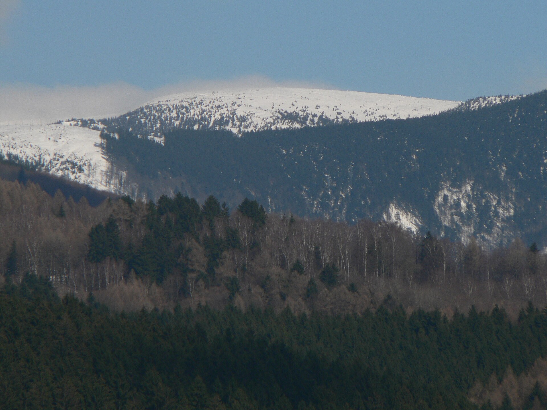
Sitting above 1,400 metres, Petrovy kameny has a distinctly mountain climate, with a shorter snow-free season than the lowlands around it. Summer and early autumn are the best times for ridge hiking, when trails are dry and the views over the open alpine meadows are at their best. Even in summer, though, weather on this exposed ridge can turn quickly — strong wind and sudden cloud cover are common at this altitude, so proper gear and preparation matter just as much as they would in colder months.
Frequently asked questions
How high is Petrovy kameny? The summit reaches 1,447 metres above sea level, placing it among the highest points of the Hrubý Jeseník range.
How far is it from Praděd? Petrovy kameny lies about 1.6 km south of the Praděd summit, on the same main ridge, between Praděd and Vysoká hole.
Which mountain range is Petrovy kameny part of? It belongs to the Hrubý Jeseník range, part of the Eastern Sudetes, within the municipality of Malá Morávka.
Is Petrovy kameny a single peak or a rock formation? It's both — the name refers to the summit itself as well as the cluster of rocks that forms it, spread over an area of roughly 2.1 square kilometres.
Nearby places

Earn badges for the places you visit
Download NextOnTrip, discover new places and check off your trails.