About this place
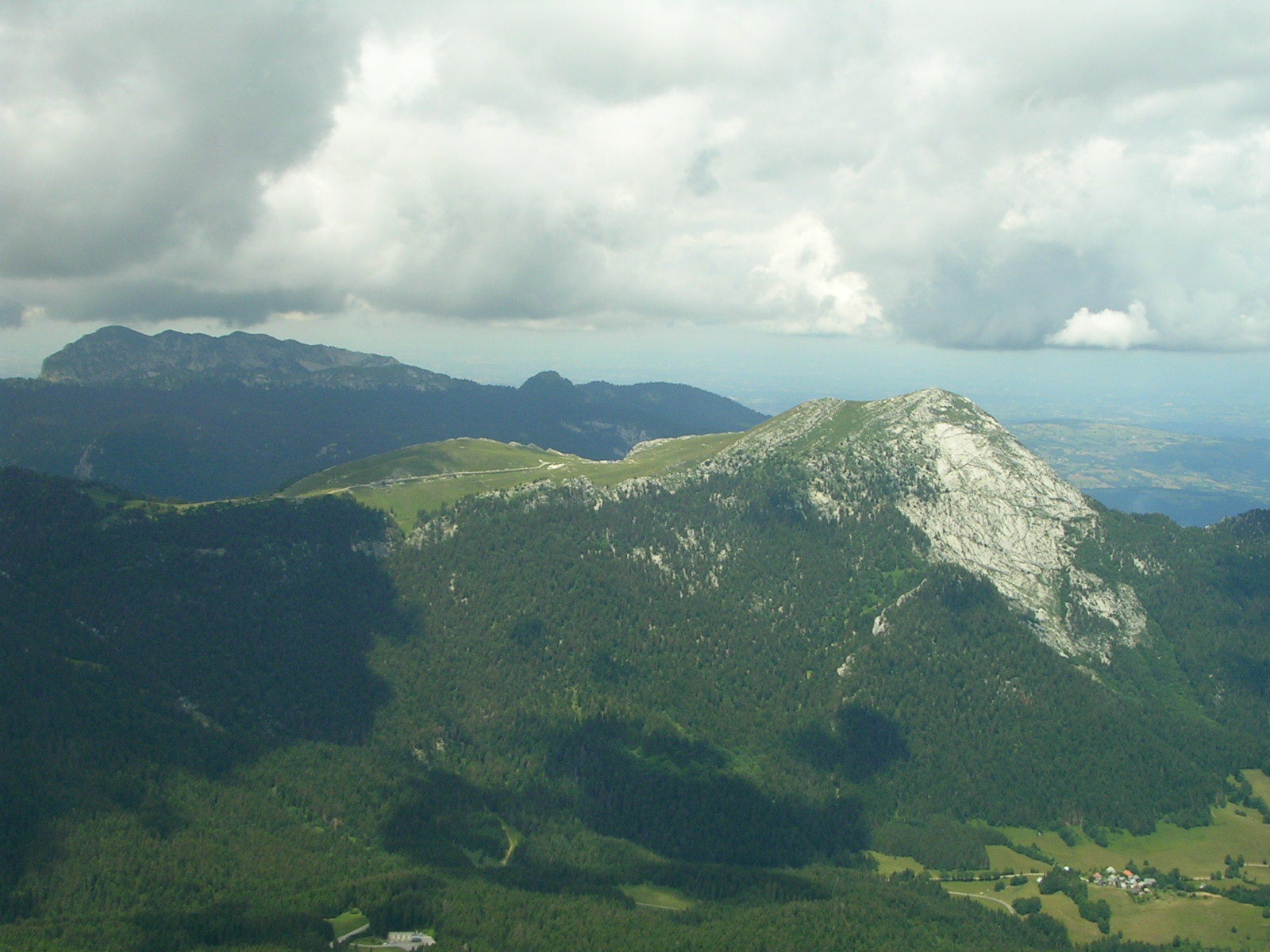
Dent de Crolles is a landmark peak rising above Saint-Hilaire, one of the most recognizable natural features near Grenoble.
Where is Dent de Crolles?
The mountain stands in the Chartreuse range, part of the Préalpes de Savoie within the Western Alps, in the Auvergne-Rhône-Alpes region of France. It sits roughly 17 kilometres northeast of Grenoble, in the Isère department. The peak takes its name from the village of Crolles, which lies at its foot in the valley below.
What will you see there?
The mountain's jagged, tooth-like silhouette — "dent" is French for tooth — makes it instantly recognizable from a distance, visible across much of the Isère Valley, known locally as the Grésivaudan, around Grenoble. Dent de Crolles is a karst massif: its limestone has been carved over millennia by water into an extensive network of caves and underground passages running beneath the summit. From the ridge, hikers are rewarded with views over the Grésivaudan valley, the Belledonne massif on the opposite side, and, on a clear day, the distant Mont Blanc range.
How do you get there?
Most routes to the summit start from Saint-Hilaire-du-Touvet, a village perched on a plateau above the Grésivaudan valley, reachable by road from Grenoble or via the funicular that climbs directly from the valley floor. Marked footpaths lead from the Saint-Hilaire area up toward the ridge and to the entrances of the karst caves. Reaching the top calls for a reasonable level of fitness — the terrain is mountainous with variable gradients, so it's worth setting aside a full day for the trip.
When should you visit?
June through September is the best window for hiking, when trails are dry, free of snow, and daylight hours are long. Spring and autumn bring more changeable weather, and snow can linger on the upper slopes well after it has cleared from the valley floor. Winter conditions call for proper mountaineering gear and experience, given the ice and exposed sections higher up.
Frequently Asked Questions
Where exactly is Dent de Crolles located? It stands in the Chartreuse range, in the Isère department, about 17 km northeast of Grenoble, above the village of Saint-Hilaire.
Where does the mountain's name come from? It's named after Crolles, the village at its base in the valley; "dent" means tooth in French, a reference to the peak's jagged profile.
Can you see Dent de Crolles without climbing it? Yes — the mountain is clearly visible from the Grésivaudan valley and the Grenoble area, making it one of the region's natural landmarks.
Is this destination suitable for casual hikers? The lower trails around Saint-Hilaire are manageable for moderately fit walkers, but reaching the summit and ridge requires good fitness and some mountain hiking experience.
Nearby places

Earn badges for the places you visit
Download NextOnTrip, discover new places and check off your trails.