About this place
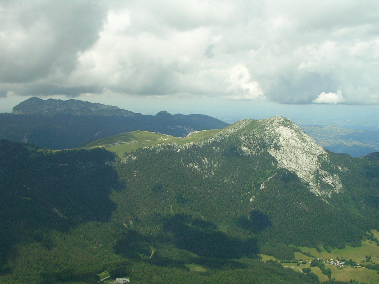
Rocher de Lorzier is a limestone peak (1,838 m) on the western edge of the Chartreuse massif, in the commune of La Sûre-en-Chartreuse in the Isère department of France. It draws hikers exploring the pre-Alpine ranges near Grenoble, thanks to its distinctive rock architecture and sweeping two-sided panorama.
Where exactly is Rocher de Lorzier?
The peak rises above the villages that today form the commune of La Sûre-en-Chartreuse, including the former village of Pommiers-la-Placette, which remains the most common starting point for the climb. Rocher de Lorzier marks the natural western boundary of the Chartreuse massif: on one side the land drops toward the plains of the Lyonnais region, while on the other it opens onto the interior of the Chartreuse Regional Nature Park.
How do you get to the summit?
The classic approach starts from Pommiers-la-Placette and climbs the flanks of the massif toward the rocky face below the peak. Just where the path appears to end at a cliff, a narrow natural fissure in the rock — known as the Goulet de Lorzier, or Pas de Lorzier — offers a way through solid stone to reach the top without any technical climbing. It's the signature moment of the route: short, but exposed enough to require a steady head for heights.
Many hikers combine Rocher de Lorzier with two neighboring summits, Grande Sure (1,920 m) and Rochers de Chalves (1,845 m), turning the outing into a single loop that takes in three distinct viewpoints across the massif. The hike calls for solid fitness and is not recommended for anyone uneasy with exposed terrain, given the narrow passage through the rock chimney.
What will you see at the top?
From Rocher de Lorzier the view splits into two contrasting directions. Looking west, the eye travels unobstructed over the rolling hills of the Lyonnais region — a vista typical of peaks perched on the massif's outer rim. Turning toward the interior of the Chartreuse, hikers see the neighboring Grande Sure and, further off, Chamechaude, the highest point of the entire massif. This contrast between open lowland on one side and jagged limestone ridgelines on the other is a large part of why the route is so popular with walkers.
When should you visit?
The best window runs from late spring through early autumn, when the trail and the rock passage are dry and technically straightforward. In winter, or after rain, the route can turn slippery and calls for experience with mountain travel in cold conditions — though some hikers do tackle it in winter specifically for the snow-covered views.
Frequently asked questions
How high is Rocher de Lorzier? The summit reaches 1,838 meters and sits on the western rim of the Chartreuse massif.
Where's the best place to start the hike? Most hikers set out from the former village of Pommiers-la-Placette, now part of the commune of La Sûre-en-Chartreuse.
What is the Goulet de Lorzier? It's a narrow natural fissure in the rock just below the summit that the trail passes through — it lets hikers reach the top without technical climbing, though it demands caution on the exposed sections.
Can this hike be combined with other summits? Yes, a popular loop links Rocher de Lorzier with Grande Sure (1,920 m) and Rochers de Chalves (1,845 m), giving hikers three distinct viewpoints across the Chartreuse massif in a single outing.
Nearby places

Earn badges for the places you visit
Download NextOnTrip, discover new places and check off your trails.