About this place
Chmelník is a forested basalt hill on the south-western edge of Děčín, rising to 508 metres above sea level. Locals know it affectionately as Chmelák, while its German name, Hopfenberg, echoes the Czech one in referring to the nearby Chmelnice district that gave the hill its name.
How do you get to the top?
A yellow-marked trail climbs to Chmelník from Děčín, with one popular starting point in the Chrochvice district. The route covers roughly 2.5 kilometres and typically takes an hour to an hour and a half uphill, making it an approachable outing rather than a demanding all-day trek. Because it sits so close to the town centre, a walk up Chmelník works just as well as a short afternoon escape as it does a longer excursion.
What will you find at the summit?
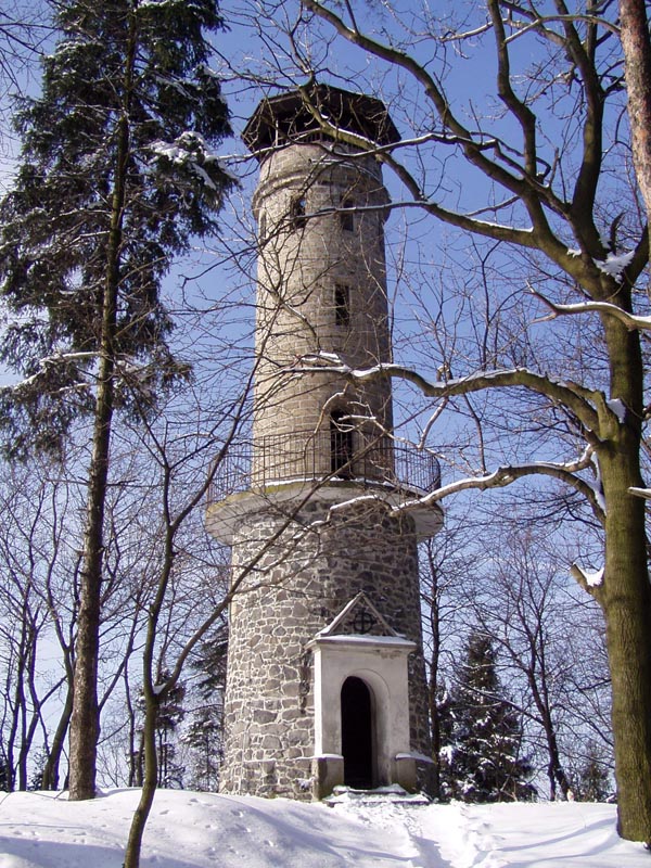
The top opens onto views of Děčín and the Elbe valley stretching toward Ústí nad Labem, while the opposite bank reveals the peaks of the Czech Central Uplands (České středohoří), including the distinctive antenna tower on Buková hora. There is no building on the summit today, though there once was: an inn with a 15-metre lookout tower went up in 1895, only to burn down in the early 20th century and never be rebuilt. What remains on the site now is a weathered table with benches, a fireplace, and a small rest area decorated with carved wooden animal figures and grilling equipment.
Who is this hike for?
Chmelník has become a favourite picnic spot — benches, a fireplace, and shade from the surrounding trees draw both families with children and anyone looking for a quick break from town. The hill is also the stage for a traditional New Year's hike organised each year by the Děčín branch of the Czech Tourist Club (KČT), which draws a solid crowd of locals. An educational trail tracing the hill's history runs alongside the route, so the walk can double as a short lesson in local heritage.
When is the best time to visit?
Because the hill is densely wooded, the views open up best in autumn and winter, once the trees have lost their leaves and no longer block the sightline down to the Elbe valley. In summer, the same tree cover becomes an asset, offering welcome shade on hot days. Around New Year, it's worth timing a visit to coincide with the traditional group hike from Děčín — a good way to meet the local hiking community.
Frequently asked questions
How high is Chmelník? The summit reaches 508 metres and sits on the south-western edge of Děčín.
Is there still a lookout tower on top? No — the wooden inn with its 15-metre tower, built in 1895, burned down in the early 20th century and was never rebuilt. Today the summit is simply a rest area with benches and a fireplace.
How long does the climb take? The yellow trail from Děčín, including the route via Chrochvice, is about 2.5 kilometres and takes 1 to 1.5 hours one way.
What can you see from the top? A panorama of Děčín and the Elbe valley toward Ústí nad Labem, plus the peaks of the Czech Central Uplands across the river, including the antenna tower on Buková hora.
Nearby places

Earn badges for the places you visit
Download NextOnTrip, discover new places and check off your trails.