About this place
Černý vrch is a summit in the Jizera Mountains (Jizerské hory), part of the Kořenov municipality in the Czech Republic, within the Jizerka cadastral area. Rising to 1,029 metres, it ranks as the fourth most prominent peak in the entire Jizera range — a saddle 142 metres deep separates it from its parent mountain, Jizera, which is what gives it such clear standing as an independent summit rather than a minor bump on a larger ridge.
Where exactly is it?
Černý vrch sits roughly 2 km northwest of the village of Jizerka and about 2 km southeast of Smědava, a well-known mountain lodge among hikers in the area. This puts it deep inside the Jizera Mountains, away from main roads and surrounded by extensive forest, within the protected Jizerské hory landscape area (CHKO). The mountain's historical German name, Schwarzer Berg, is a direct translation of its Czech name — literally "Black Peak."
How do you get to the top?
There is no officially marked hiking trail leading to the summit, which makes Černý vrch one of those Jizera peaks you reach with a map rather than trail blazes. Access runs along forest roads branching off two larger routes: from the northeast via the Promenádní cesta (Promenade Trail), and from the southwest via the Jezdecká cesta (Riding Trail). Both are clearly marked on regional hiking maps and serve as natural starting points for the final approach. Because the summit itself isn't waymarked, it's worth carrying a detailed map or GPS track rather than relying on trail signs alone.
What will you find at the top?
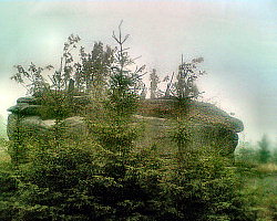
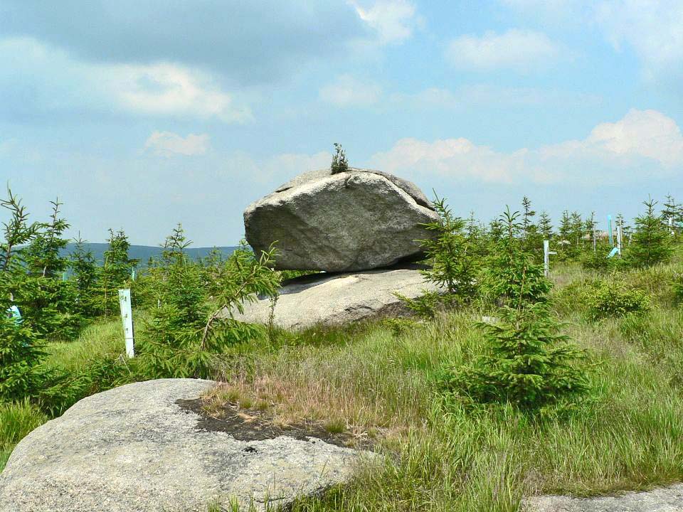
The summit is marked by a distinctive boulder known as Čertův kámen (Devil's Stone). A metal box containing a summit log has been kept there since 1968, a small but continuous piece of local hiking tradition that lets visitors record their ascent and read notes left by earlier hikers — decades of entries stacked up in one spot on an otherwise quiet, unmarked peak.
Who tends to hike here?
Černý vrch is best known among peak-baggers who track their ascents as part of several Czech hiking challenges: Barevné vrcholy ("Colourful Peaks"), Koruna Sudet ("Crown of the Sudetes"), and Tisícovky ČR, the list of Czech summits above 1,000 metres. The summit log shows dozens of recorded visits over the years — modest numbers, but a clear sign that this unmarked peak keeps drawing dedicated hikers back, trail or no trail.
When is the best time to go?
Given the lack of any trail infrastructure — no waymarking, no viewpoint platform, no lodge at the top — late spring through early autumn is the most practical window. Forest access roads are dry and easy to walk, and the longer daylight hours give you room to navigate carefully without relying on marked paths. In winter, snow cover makes off-trail orientation considerably harder, so this is a route better suited to experienced hikers comfortable with a map and compass.
Frequently asked questions
How high is Černý vrch? The summit reaches 1,029 metres above sea level and is the fourth most prominent peak in the Jizera Mountains.
Is there a marked trail to the summit? No. There's no official waymarking — you approach via forest roads branching off the Promenádní cesta (from the northeast) or the Jezdecká cesta (from the southwest).
What's notable at the top? A boulder called Čertův kámen (Devil's Stone), which has held a summit log box since 1968.
How far is it from nearby landmarks? About 2 km from the village of Jizerka and about 2 km from the Smědava mountain lodge — both make sensible starting points for planning a route.
Nearby places

Earn badges for the places you visit
Download NextOnTrip, discover new places and check off your trails.