About this place
Cendea de Cizur is a municipality in Navarre, sitting right on the outskirts of Pamplona and best known to travelers as a stretch of the Camino de Santiago that climbs over the Sierra del Perdón.
Where exactly is Cendea de Cizur?
The municipality belongs to the Merindad de Pamplona and sits about 7 km from central Pamplona, effectively forming part of the capital's wider metropolitan area. A "cendea" is a distinctly Navarrese form of local government, grouping several small villages under a single town council rather than each having its own. Records mentioning the Cendea de Cizur as an institution go back to at least 1427, although historians agree its actual roots are older and not fully documented.
Which villages make up the municipality?
In medieval times the cendea encompassed 18 separate settlements. Over the centuries several of them broke away to form their own municipalities — Zizur Mayor and Barañain (together with Eulza) — while Echavacoiz was eventually absorbed into Pamplona itself. What remains today under Cendea de Cizur covers eleven villages: Astrain, Cizur Menor, Eriete, Gazólaz, Guenduláin, Larraya, Muru-Astráin, Paternáin, Sagüés, Undiano/Undio, and Zariquiegui. The municipal town hall — the seat of local government — is based in Gazólaz, where council business and administrative matters are handled.
What draws visitors to this area?
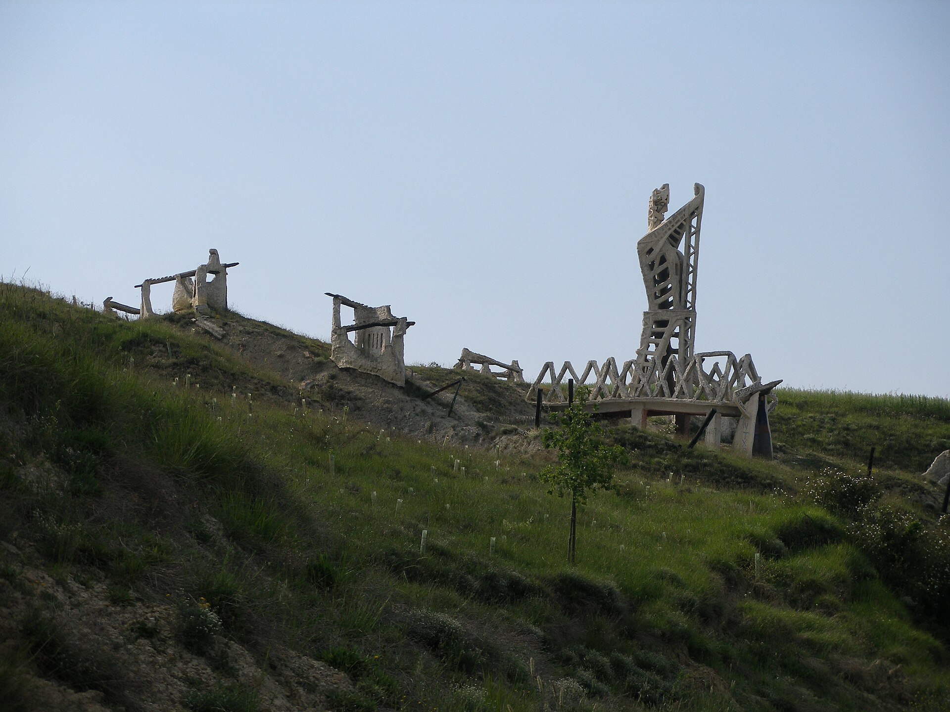
The main pull for travelers is the French Way of the Camino de Santiago, which crosses the municipality through Cizur Menor, Guenduláin, Zariquiegui, and Astrain before climbing the ridge of the Sierra del Perdón. At the top stands the Monumento al Peregrino, a row of metal silhouettes depicting pilgrims and riders — one of the most photographed landmarks along the entire French Way in Navarre. Slightly downhill sits a small hermitage dedicated to the Virgen del Perdón, the figure that gave the mountain its name.
Is Cizur Menor worth stopping in?
Cizur Menor is the first substantial village pilgrims reach after leaving Pamplona, so it has grown into a small hub of albergues (pilgrim hostels) and basic services along the route. Travelers not walking the Camino can also use it as a quiet overnight base, since its proximity to the capital makes day trips into central Pamplona straightforward.
How do you get to Cendea de Cizur?
Given how close it sits to Pamplona, the municipality is easy to reach on local public transport or by car along the roads leaving the city to the southwest. For walkers, the natural way in is simply continuing along the French Way as it exits Pamplona toward the Sierra del Perdón.
Frequently Asked Questions
What does "cendea" mean in Navarre? It is a historic Navarrese form of local administration that groups several neighboring villages under one shared town council, and Cendea de Cizur is one of the few such structures still in use today.
How many villages belong to Cendea de Cizur? Eleven: Astrain, Cizur Menor, Eriete, Gazólaz, Guenduláin, Larraya, Muru-Astráin, Paternáin, Sagüés, Undiano/Undio, and Zariquiegui.
Where is the town hall located? The seat of the Cendea de Cizur town hall is in the village of Gazólaz.
Does the Camino de Santiago pass through here? Yes — the French Way runs through Cizur Menor, Guenduláin, Zariquiegui, and Astrain before rising to the Sierra del Perdón, where the pilgrim monument stands.
Nearby places

Earn badges for the places you visit
Download NextOnTrip, discover new places and check off your trails.