About this place
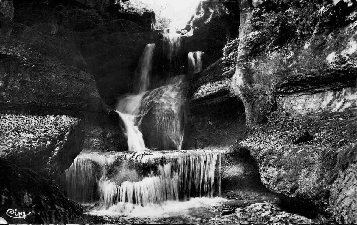
Cascade de la Charabotte is one of the tallest waterfalls in France, tucked into a limestone gorge carved by the Albarine River near Plateau d'Hauteville, in the Bugey area of the Ain department. The water drops from a high rock ledge in a single dramatic plunge, making the site a favourite stop for hikers and casual visitors alike, most of whom reach it directly from the road.
Where exactly is the waterfall located?
The cascade sits in the Albarine gorge, between the villages of Chaley and Plateau d'Hauteville, at a spot known locally as the Golet du Thioux. Here the Albarine River, which rises near Brénod, takes its highest single drop before continuing downstream to carve out the wider Gorges de l'Albarine. The surrounding land is protected as an Espace Naturel Sensible (a sensitive natural area) managed by the Ain department, and the waterfall itself was already recognised as a natural monument of scenic value back in 1909.
How high is the waterfall?
Figures vary slightly depending on how the drop is measured. The main vertical section is usually given as around 115 metres, while the total fall — including the upper stretch above it — is often put at close to 150 metres. Whichever figure is used, Charabotte ranks among the highest waterfalls in the country, which is why it draws visitors well beyond the immediate region.
How do you get there?
The easiest way to see the cascade is by car, along the road connecting Chaley and Plateau d'Hauteville. A small parking area sits on one of the bends, offering a direct, unobstructed view of the falls without any climbing or hiking required. Those who want to reach the foot of the waterfall can follow a footpath down into the gorge, though it is narrow, uneven and runs over rocky ground in places — allow around 40 minutes each way, and wear sturdy shoes, since the terrain can be slippery, especially after rain.
When is the best time to visit?
The volume of water depends heavily on the season. In summer, the Albarine's flow drops sharply, and the cascade can look thin, sometimes barely visible against the rock face. Autumn, winter and spring — particularly after heavy rain or snowmelt — bring the waterfall to its full strength and make for the most impressive views. The site is also popular with canyoning enthusiasts, who typically descend the gorge between October and June, when water levels are high enough for a proper descent; by midsummer the same route can shrink to little more than a trickle.
What else is worth knowing about the area?
Beyond the waterfall itself, this stretch of the Albarine valley is defined by a narrow limestone gorge typical of the wider Bugey landscape. The site lies less than an hour's drive from Lyon, making it a popular day-trip destination for residents of the Auvergne-Rhône-Alpes region. There is little in the way of built tourist infrastructure here — the appeal lies in the scenery itself and in short, quiet walks rather than organised facilities.
Frequently Asked Questions
How tall is Cascade de la Charabotte? The main drop measures around 115 metres, and the total fall, including the upper section, is estimated at close to 150 metres.
Do you have to hike to see the waterfall? No — it can be viewed directly from a small parking area on the road between Chaley and Plateau d'Hauteville. Reaching the base of the falls, however, requires roughly a 40-minute walk over uneven, rocky terrain.
When does the waterfall look most impressive? Flow is strongest in autumn, winter and spring, especially after heavy rainfall. In summer, the Albarine River's flow is much weaker, and the cascade can be barely visible.
Is the area protected? Yes. The land around the waterfall has Espace Naturel Sensible status under the Ain department, and the site was designated a natural scenic monument as far back as 1909.
Nearby places

Earn badges for the places you visit
Download NextOnTrip, discover new places and check off your trails.