About this place
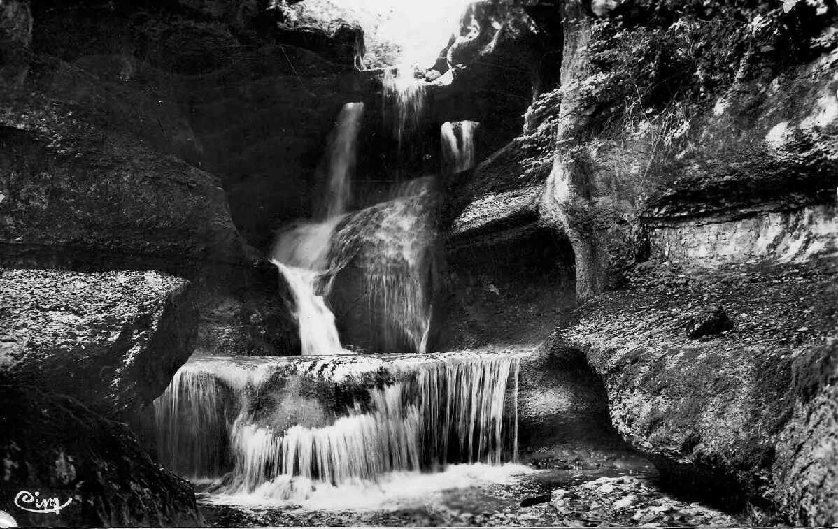
Cascade de la Fouge is a waterfall in the commune of Cerdon, in the Bugey range of the Ain department in eastern France. It sits within a network of trails known as the "Circuit des cascades," a hiking route threading through the limestone gorges (reculées) that define this stretch of the southern Jura foothills.
Where is the waterfall located?
The Fouge falls drop through a steep-sided ravine carved by the Pérolle stream, on land belonging to the commune of Cerdon. The water falls in two distinct stages with a combined height of more than 60 metres, making it one of the taller cascades in the Bugey area. Below the falls, the stream continues as a stretch known locally as the bief de Malpasse.
How do you get there?
Access starts from Cerdon itself. One approach follows a path near the former Épierre abbey grounds; another runs through a small hamlet called La Suisse. Both connect into the wider Circuit des cascades network, which links several viewpoints along the gorge.
What does the hike look like?
The most common loop covers roughly 5.5 to 5.8 kilometres with about 220 to 230 metres of elevation gain — a moderate outing by most standards. The path tracks alongside the stream, passes a second cascade further along, and eventually enters a shaded forest section that many visitors describe as having a fairy-tale feel, particularly after rain when the stream is running fuller. A shorter, steeper alternative of around 4 kilometres, with a comparable or greater elevation gain, also exists for those short on time.
Is the trail difficult or dangerous?
Sections of the path get muddy, especially in spring, and fallen trees occasionally block parts of the route, so sturdy hiking shoes are worth packing. The gorge walls are prone to rockfall, and this risk led the commune of Cerdon to issue a municipal order in February 2022 restricting access to some of the trails leading to the falls. Anyone planning a visit should check the current access status with the town hall or local tourist office before setting out.
Can you go canyoning here?
Nearby, across the communes of Cerdon, Corlier and Boyeux-Saint-Jérôme, lies the Canyon de la Fouge, a route historically used for canyoning descents that included rappelling down three waterfalls. Because of the same rockfall hazards, access to the canyon has been closed by municipal orders since January 2022.
When is the best time to visit?
The falls see most visitors between February and November. Spring generally brings a fuller stream and a more dramatic cascade, at the cost of muddier trails. The loop is generally considered manageable for families with children, though given the current access restrictions it is worth confirming conditions ahead of time.
Frequently asked questions
How tall is the Cascade de la Fouge? The waterfall drops in two stages with a combined height of over 60 metres.
How long is the hike from Cerdon? The main loop runs about 5.5 to 5.8 kilometres with roughly 220 to 230 metres of elevation gain, typically a two-to-three-hour walk depending on pace.
Is the trail to the waterfall currently open? A municipal order issued in February 2022 restricts access to parts of the trail due to rockfall risk. Check locally for the current status before visiting.
Can you descend the canyon by rope? The Canyon de la Fouge was once a known canyoning spot, but access has been closed since January 2022 by decision of the local communes.
Is the hike suitable for families? Under normal conditions it is considered family-friendly, though sturdy footwear and caution on muddy or rocky sections are recommended.
Nearby places

Earn badges for the places you visit
Download NextOnTrip, discover new places and check off your trails.