About this place
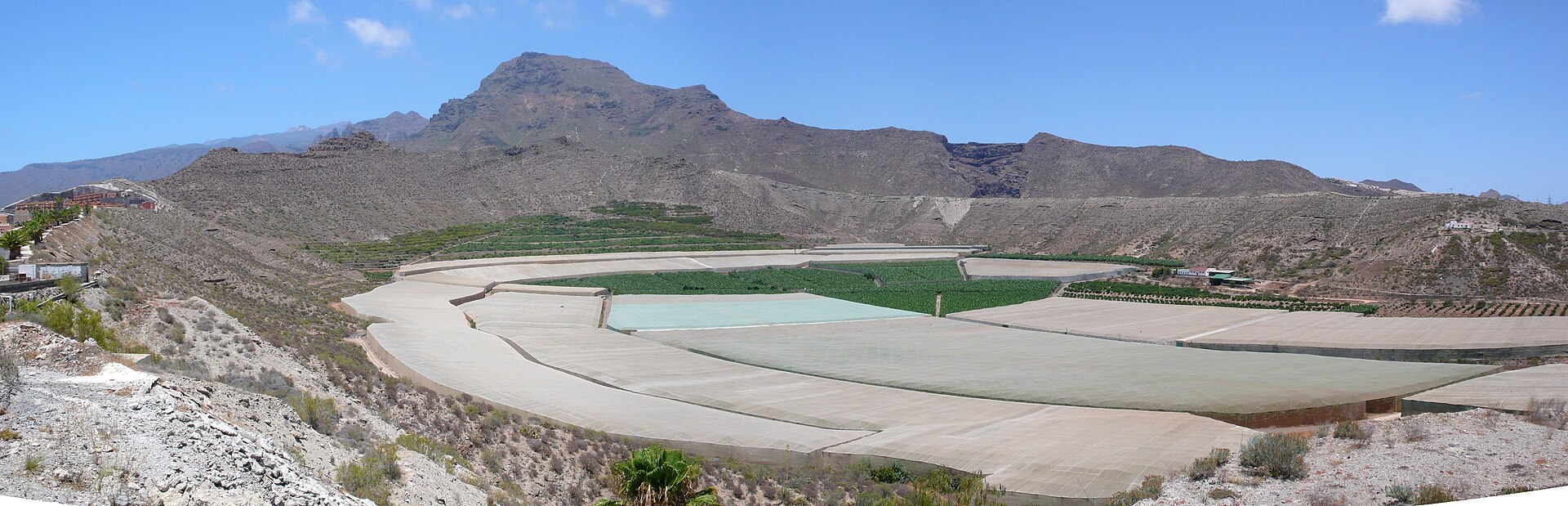
Barranco de Orchilla is a deep volcanic gorge in southern Tenerife that forms the natural boundary between the municipalities of San Miguel de Abona and Granadilla de Abona. It originates near Vilaflor and runs down to the Atlantic coast close to the village of El Abrigo, crossing the TF-28 road along the way and standing out as one of the more distinctive landscape features of this part of the island.
Where does the name come from?
The gorge takes its name from orchilla (Roccella canariensis), a lichen that has grown for centuries on its steep, rocky slopes. The plant was once a prized source of purple dye, historically used to color textiles for European courts. Documented gathering of orchilla in this gorge dates back to the late 15th century, and it was considered dangerous work — collectors had to move along exposed, precipitous rock faces to reach it. Besides the lichen, the ravine also supplied local residents with clay and stone, materials that fed regional pottery workshops.
What can you do at Barranco de Orchilla?
The gorge is a popular destination for hikers. One well-known route follows the edge of the barranco through the small village of El Frontón, where it's worth pausing at the modest Ermita Virgen del Puerto chapel. The trail continues through the hamlets of Chiñama, Cruz de Tea, and Charco del Pino, culminating in a long climb to the summit of Montaña Colorada (1,414 meters), which offers views toward Vilaflor and Las Cañadas. The full circular route covers roughly 17.5 kilometers with nearly 950 meters of elevation gain, typically taking around six hours with stops. It's rated as moderately difficult: the path mostly follows established hiking and dirt tracks with little risk of getting lost, although the initial stretches require careful footing on rocky terrain.
The gorge also draws canyoning enthusiasts — its steep walls and natural rock steps make it a spot for rope descents of moderate difficulty.
How to get there?
The trailhead along the TF-28 road can be reached by local bus lines 484, 409, 419, and 416. Parking near the entrance to the gorge is limited, so public transport is worth considering, especially on weekends.
Frequently asked questions
Is the route suitable for beginners? Given its length (17.5 km) and elevation gain (nearly 950 m), the full loop requires a good level of fitness. Shorter stretches along the edge of the gorge are easier and accessible to less experienced hikers.
What is orchilla, the lichen the gorge is named after? It's a rock-growing lichen used since the 15th century to produce a purple dye, harvested from the gorge's steep walls.
Can you go canyoning at Barranco de Orchilla? Yes, the gorge is known among canyoning enthusiasts, offering rope descents of moderate difficulty.
Where exactly is the gorge located? In southern Tenerife, between the municipalities of San Miguel de Abona and Granadilla de Abona, along the TF-28 road, ending at the coast near El Abrigo.
Nearby places

Earn badges for the places you visit
Download NextOnTrip, discover new places and check off your trails.