About this place
Zámky is a rocky summit in the Jizera Mountains (Jizerské hory), located within the municipality of Kořenov in the Jablonec nad Nisou district of Czechia's Liberec Region. It rises to roughly 1,005 metres above sea level and stands out as a distinct high point above the Souš reservoir, one of the area's well-known landmarks.
Where is Zámky located?
The peak sits in the central part of the Jizera Mountains, within the Jizerské hory Protected Landscape Area. Its coordinates are approximately 50.794°N, 15.340°E. The closest mountain huts are Pešákovna (870 m, about 3.5 km away) and Orle (830 m, about 3.9 km away), both useful bases for planning a longer hike through the range.
How do you get to the summit?
The approach from the north is the easiest and needs no special preparation. Climbing from the south is considerably harder, especially during the growing season, when dense undergrowth makes both navigation and walking difficult. Note that the yellow-marked trail that once led toward the summit has been decommissioned, so there is no official waymarking on site today — visitors need to rely on a map and good orientation skills. The summit itself is freely accessible with no entry restrictions, but there is no tourist infrastructure here: no hut, no lift, and no wheelchair access.
What will you see there?
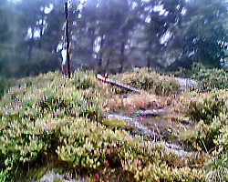
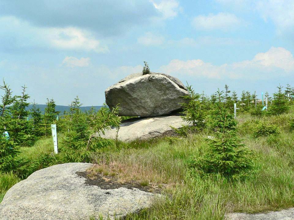
Zámky is not a single rock but a cluster of rock groups scattered across the summit and slopes — likely the source of its name, which evokes castle walls and towers. The rocks right at the top, however, are heavily overgrown with trees and shrubs, so a sweeping panorama is not on offer here. This makes Zámky a better fit for hikers who enjoy the wilder, less-visited corners of the Jizera Mountains than for those chasing viewpoints. The rocky ridges, moss, and forest undergrowth make it a rewarding stop for nature photography and quiet time away from crowded trails.
When is the best time to visit?
Early spring or late autumn are the best windows, when vegetation is thinner and both orientation and the southern approach become easier. In summer, thick undergrowth can slow down and complicate any off-trail walking considerably. In winter, snow cover and the lack of a maintained path make the area more demanding, better suited to hikers experienced with unmarked mountain terrain.
Frequently asked questions
Is there a marked trail to the summit of Zámky? No official waymarked trail remains — the yellow trail that used to pass through the area has been removed. Visitors should use a map and approach from the north, which is the easier direction.
Is there a view from the top? No. The summit rocks are overgrown with trees, so there is no open panorama. Zámky suits lovers of wild terrain more than viewpoint seekers.
Where are the nearest mountain huts? Pešákovna (870 m, about 3.5 km from the summit) and Orle (830 m, about 3.9 km) are the closest places to rest or stay overnight.
Is the hike to the summit difficult? The northern approach is relatively easy and needs no special gear. The southern route is much harder, particularly in summer when vegetation is dense.
Nearby places

Earn badges for the places you visit
Download NextOnTrip, discover new places and check off your trails.