About this place
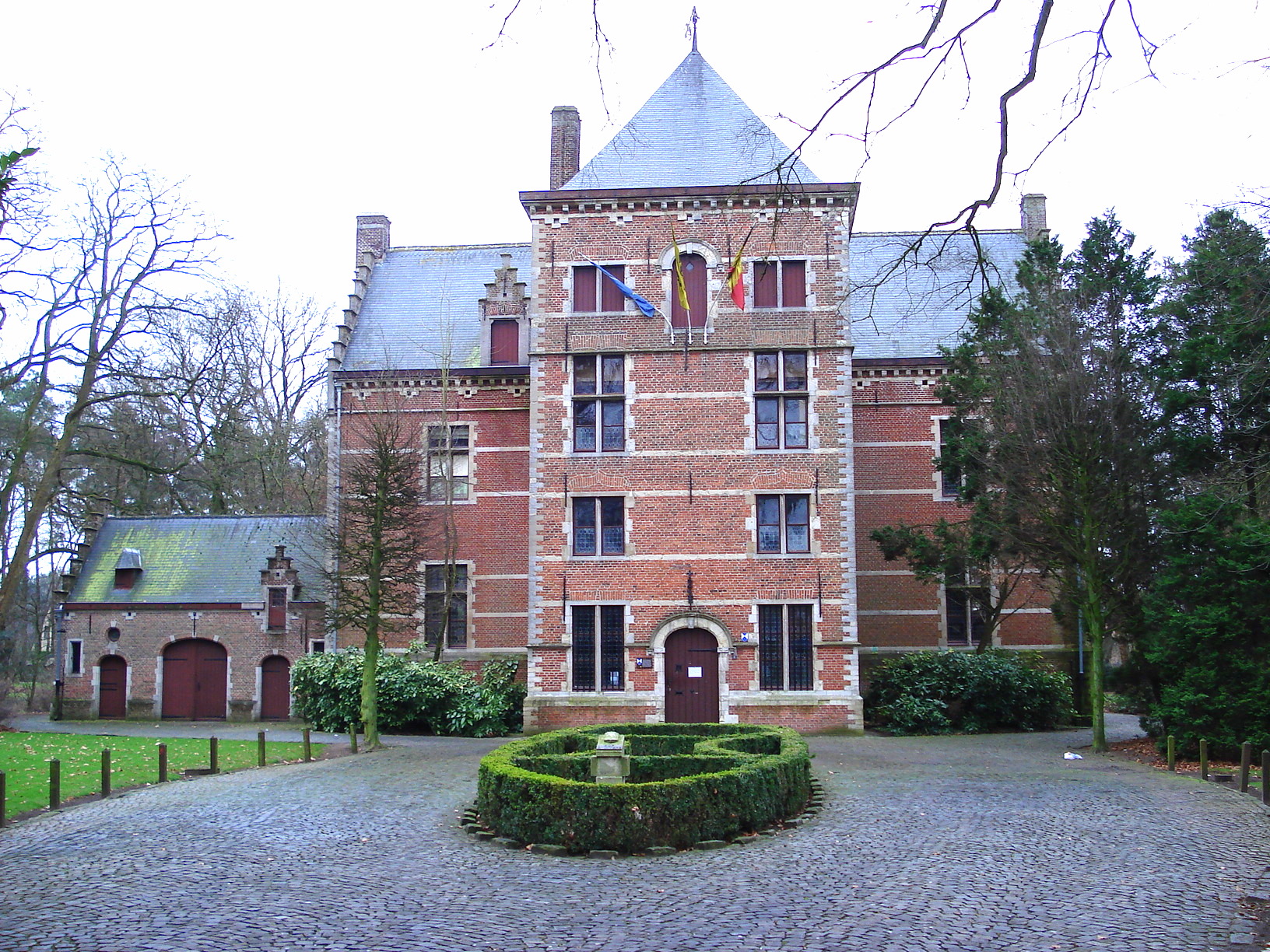
Westmalle Castle is located in the village of Westmalle, part of the municipality of Malle, in the Campine (Kempen) region of Flanders, Belgium. The site sits at an elevation of 29 meters, at approximate coordinates 51.3061°N, 4.6952°E.
Where exactly is Westmalle Castle located?
The castle stands in Westmalle, a village that forms part of the municipality of Malle. Malle itself belongs to the province of Antwerp, one of the five provinces making up the Flemish part of Belgium. The wider area in which Westmalle lies is known as the Campine (in Dutch, Kempen) — a region stretching across the Belgian-Dutch border, characterized by sandy soils, heathland, and a mix of forests and farmland.
What does the terrain around the castle look like?
The elevation at the site of Westmalle Castle is 29 meters above sea level. This is typical of the low-lying terrain found across Flanders. The Campine region in particular is known for its gently undulating, largely flat landscape, without any significant hills — a pattern common throughout northern Belgium and the adjoining part of the southern Netherlands.
Which municipality does Westmalle belong to?
Westmalle is one of the villages that make up the municipality of Malle. In Flanders, municipalities serve as the basic unit of local government, responsible for matters such as infrastructure, spatial planning, and local public services. Malle as a municipality includes several villages, of which Westmalle is one.
In which region of Belgium is this site located?
Westmalle Castle lies in Flanders, the Dutch-speaking region that makes up the northern part of Belgium. Within Flanders, the site falls specifically within the Campine subregion, which stretches between the city of Antwerp and the Dutch border. The Campine is largely rural in character, with a lower population density than nearby major urban centers such as Antwerp.
Frequently asked questions
Where is Westmalle Castle located? In Westmalle, a village belonging to the municipality of Malle, in the Campine region of Flanders, Belgium.
Which province does this location belong to? Westmalle is part of the municipality of Malle, which lies in the Flemish province of Antwerp.
What is the elevation of the site? The site sits at an elevation of 29 meters above sea level.
What are the geographic coordinates of Westmalle Castle? The approximate coordinates are 51.3061°N, 4.6952°E.
What is the Campine region like, where Westmalle is situated? The Campine is an area along the Belgian-Dutch border, rural in character, with sandy soils, heathland, and a mosaic of forests and fields, set within a generally flat, low-lying landscape.
To summarize the available information: Westmalle Castle is a site located in the small village of Westmalle, within the municipality of Malle, at the heart of the Flemish Campine region, at an elevation of 29 meters, at coordinates 51.3061°N, 4.6952°E — in a quiet, rural part of northern Belgium, close to the border with the Netherlands.
Nearby places

Earn badges for the places you visit
Download NextOnTrip, discover new places and check off your trails.