Save this place and discover nearby attractions with NextOnTrip
In the app you can add it to your favorites, see what else is worth visiting nearby on the map, and earn a badge for your visit.
The app is available for iPhone and Android.
About this place
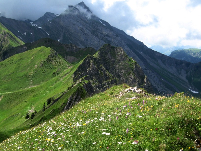
Uri Rotstock is a 2,928 m summit above the Isenthal valley in the Swiss canton of Uri. It belongs to the Uri Alps and looks out toward Urnersee, the southern arm of Lake Lucerne. No cable car serves the peak, so every ascent starts on foot from the valley.
Where is Uri Rotstock?
The mountain rises in the municipality of Isenthal, in a side valley that branches off from Urnersee near Flüelen. The "Uri" prefix separates it from other Rotstock peaks elsewhere in the Alps. Its coordinates are roughly 46.86° N, 8.53° E, and the Gitschenhörelihütte stands less than a kilometre away in a straight line.
How do you reach the summit?
The standard summer route is Route 3 of the Isenthal Natural History High Path. It starts at Biwaldalp, where a mountain guesthouse sits, and finishes on the summit. Count on about 4 hours one way over roughly 8.7 km. The route is graded difficult.
The way goes like this:
- leave the path near Biwaldalp and cross alpine pasture to Hoch Egg,
- continue over Breit-Planggen to the Im Lauberz signpost, where white-red-white markings lead to the hut,
- above the hut, a blue-signposted alpine path with white-blue-white markings follows a lateral moraine to viewpoint 2753 m,
- pass point 2740 m, reach the saddle at 2798 m, then climb the southwest flank to the top.
Public transport serves Isenthal village. The bus leaves from Flüelen railway station.
Where can you stay overnight?
The Gitschenhörelihütte sits at 2,325 m, right on the approach. It is a private hut with a modest number of beds, so book ahead in season. A Rega emergency call station stands at the hut, but its operation is not always guaranteed, so do not rely on it as a safety net.
When should you go?
The route is seasonal and depends on the weather. In summer the terrain is snow-free and the hiking route applies. In winter the peak is a ski-touring objective, with an approach described from the Grosstal valley. A variant from the Engelberg side also exists and joins the Isenthal route near point 2740 m.
What should you bring?
Above the hut the path becomes high-mountain terrain. Pack sturdy boots, layers for changing weather, a map or navigation app and enough water, as there are no shops along the way. Start early so that you are back down before afternoon weather turns.
Frequently asked questions
How high is Uri Rotstock?
The summit is 2,928 m above sea level. Some route listings give 2,926 m in their statistics, but their descriptive text says 2,928 m.
Can you ride a lift to the top?
No. It is one of the few prominent peaks near Swiss cities that has no cable car.
How long is the climb from Biwaldalp?
About 4 hours one way, and the route is graded difficult.
Where is the nearest hut?
The Gitschenhörelihütte at 2,325 m. It has limited beds, so reserve in advance.
Nearby places

Earn badges for the places you visit
Download NextOnTrip, discover new places and check off your trails.