Save this place and discover nearby attractions with NextOnTrip
In the app you can add it to your favorites, see what else is worth visiting nearby on the map, and earn a badge for your visit.
The app is available for iPhone and Android.
About this place
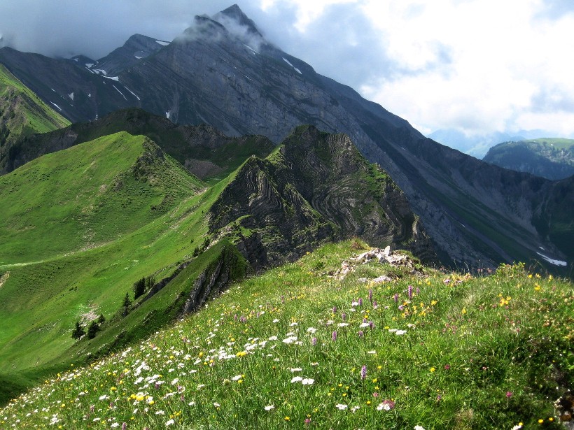
Tomlishorn is the highest summit of the Pilatus massif (2,128 m above sea level), rising above Hergiswil (NW) and Lake Lucerne in central Switzerland. Pilatus is made up of several peaks, and Tomlishorn is its crown. It is not the busy Pilatus Kulm with its hotels and railway terminals, but the high point you reach on foot from there.
What can you see from the top?
The summit gives a wide view over Lake Lucerne, the Lucerne area and the Central Alps. Slopes fall away toward Hergiswil and Alpnachstad, while the ridge continues toward Widderfeld. Two lower neighbours, Oberhaupt and Esel, sit close by.
How do you get to Tomlishorn?
Most people start at Pilatus Kulm, reached by the cogwheel railway from Alpnachstad or by gondola and cable car from Kriens. From the hotel area, a secured mountain path climbs to the summit in roughly 30 to 40 minutes, gaining about 60 to 90 m. The Blumenpfad (flower trail) variant has information boards on alpine plants and is graded T2, an easy mountain hike.
A longer day route leads from Pilatus Kulm over Tomlishorn and Oberalp down to Eigenthal: about 11.5 km and more than four hours. It begins along the border between the cantons of Obwalden and Nidwalden, and Tomlishorn comes after around 2 km. On a shorter loop from the station you can add Esel (about 15 minutes) and a walk around Oberhaupt (about 20 minutes).
When should you go, and what should you watch for?
Pick a snow-free period, usually late spring to autumn, with stable weather and clear visibility. The ridge paths call for sure footing and a head for heights, and they are not worth attempting in poor conditions. Check Pilatus-Bahnen for railway operation and trail status before you set out. Bring sturdy shoes, a warm layer and water: above 2,000 m it is windy and cools quickly.
Frequently asked questions
Is Tomlishorn the same as Pilatus? No. Pilatus is the whole mountain massif above Lucerne, and Tomlishorn is its highest point. The well-known Pilatus Kulm station lies a little lower.
How long is the walk from Pilatus Kulm? Usually 30 to 40 minutes one way, depending on the path you choose and how often you stop for views.
Is the ascent difficult? The popular routes are secured and described as easy mountain hikes, but they still demand decent fitness, care and safe weather.
What is the link with Hergiswil? Hergiswil lies at the foot of the massif beside the lake, one of the villages Pilatus towers over. The summit itself is easier to reach from the lifts at Alpnachstad or Kriens.
Nearby places

Earn badges for the places you visit
Download NextOnTrip, discover new places and check off your trails.