About this place
Testavoyre is the highest point of the Meygal massif, rising to 1,436 meters above sea level in the Velay region of France, right next to the village of Champclause. For travelers exploring the Haute-Loire countryside, it works as a natural landmark — visible from afar, easy to reach, and rewarding even for visitors without mountain hiking experience.
How do you get to the summit?
Testavoyre sits within the Meygal massif, one of the volcanic ranges that define the Velay landscape, close to Champclause. Because the massif belongs to a group of moderate-altitude hills rather than a high mountain range, the paths leading to the top don't require technical gear or advanced hiking skills. Most visitors start from roads and trails around Champclause and nearby Haute-Loire villages, following marked footpaths that climb gradually toward the summit. The relatively modest elevation gain compared to the taller peaks of the Massif Central makes this an approachable outing for a half-day excursion.
What will you see at the top?
Testavoyre, also known as Testavoira, is the culmination of the entire Meygal massif — its single highest point. The surrounding terrain reflects the typical character of Velay's volcanic uplands: rounded, gentle slopes, open pastureland, and sweeping views that stretch well beyond the massif itself. From the summit, the panorama takes in the surrounding hills and valleys of the Velay region, which is why the spot draws hikers looking for a rewarding viewpoint without committing to a long or technical climb. Because it marks the highest elevation in the area, the peak also serves as a natural reference point for the whole surrounding landscape.
When is the best time to visit?
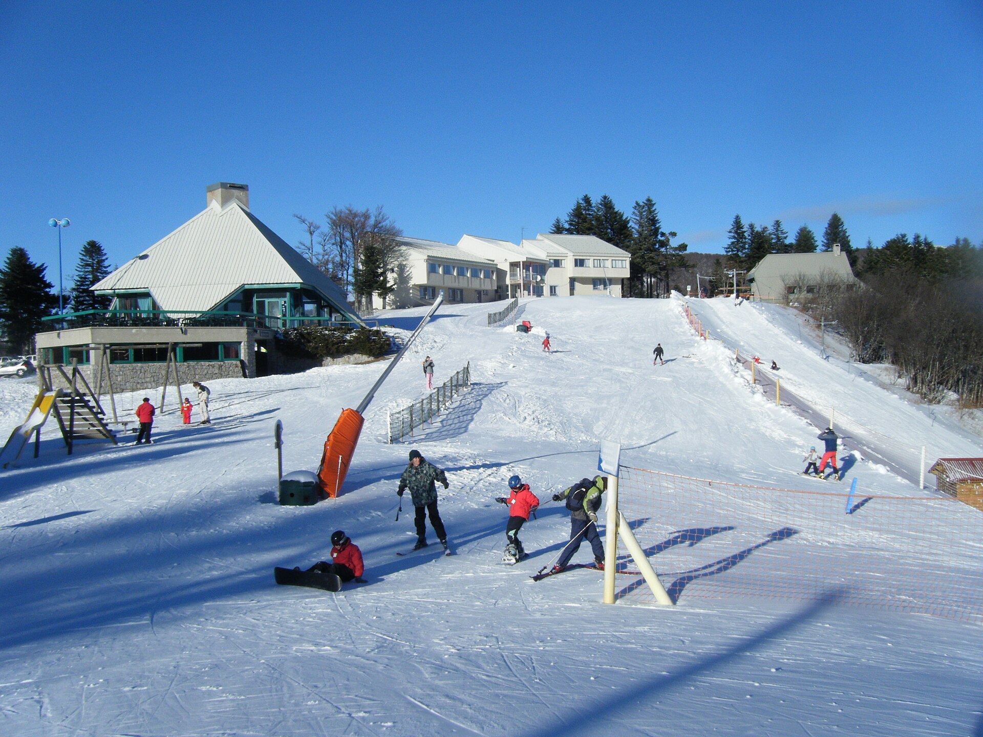
At 1,436 meters, the summit is exposed to changeable weather, and winter months can bring snow and the stronger winds typical of Velay's open highlands. Late spring through early autumn is the most reliable window, when trails are dry and visibility favors the panoramic views the summit is known for. During this period, the pastures and meadows around Champclause are at their greenest, adding to the appeal of the hike.
Frequently asked questions
Is Testavoyre the highest peak in the region? Yes, Testavoyre is the highest point of the entire Meygal massif, reaching 1,436 meters above sea level.
Where exactly is Testavoyre located? The summit lies in the Velay region, in the Haute-Loire department of France, directly adjacent to the village of Champclause.
Is the climb to the summit difficult? No — thanks to its moderate elevation and gentle terrain, the hike is accessible to most visitors without specialized mountain experience.
Are Testavoyre and Testavoira the same mountain? Yes, they refer to the same peak — Testavoira is an alternate name used interchangeably with Testavoyre for this summit.
Nearby places

Earn badges for the places you visit
Download NextOnTrip, discover new places and check off your trails.