Save this place and discover nearby attractions with NextOnTrip
In the app you can add it to your favorites, see what else is worth visiting nearby on the map, and earn a badge for your visit.
The app is available for iPhone and Android.
About this place
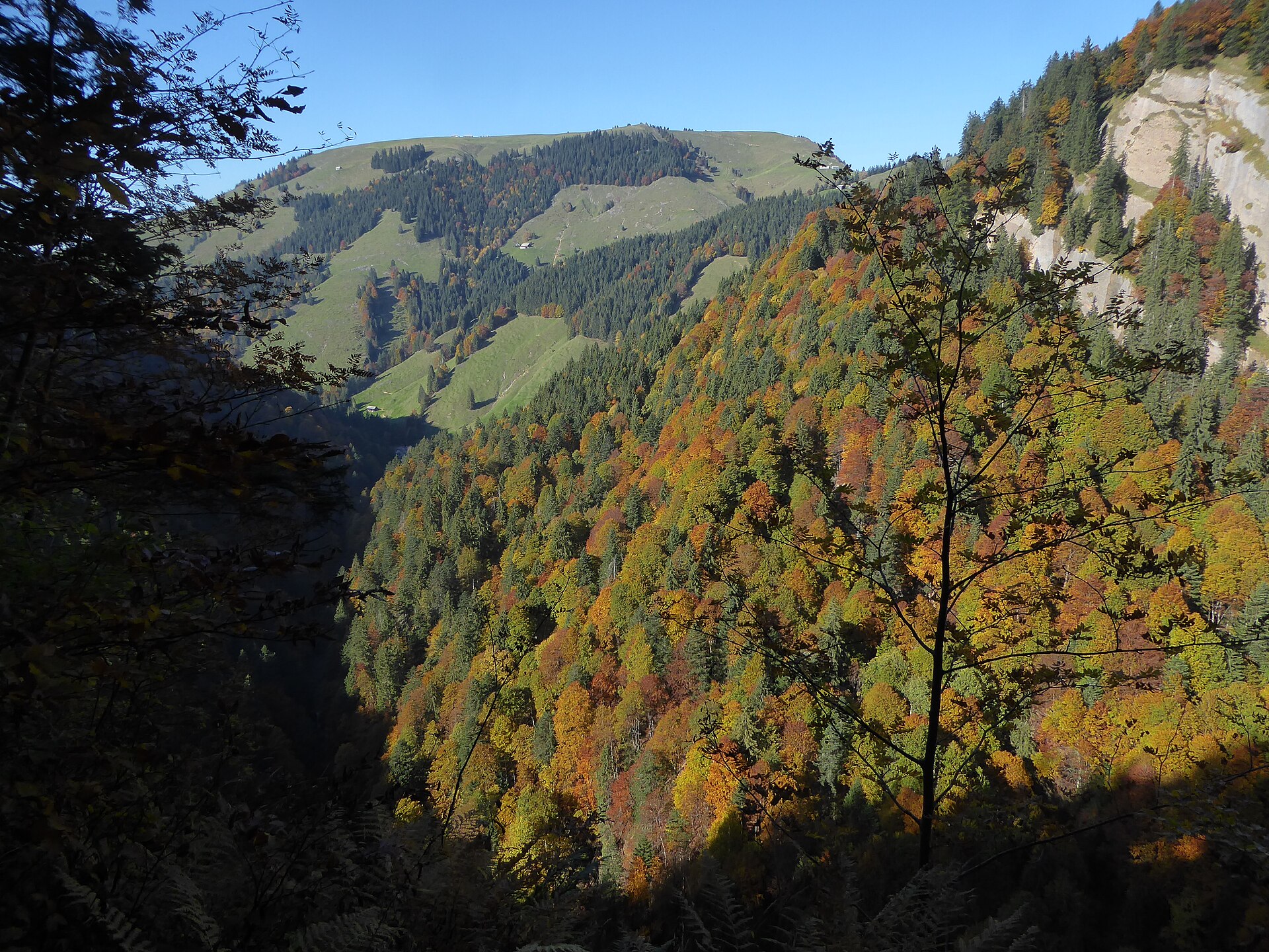
Tanzboden above Ebnat-Kappel is a hilltop in the Toggenburg region of the canton of St. Gallen, rising to roughly 1,443 m. It is one of the valley's best-loved lookout points, with a sweep from the Churfirsten range to the Säntis massif and across the whole Toggenburg toward the Alpine foreland. The name occurs in several places in Switzerland; this one sits on the ridge over Ebnat-Kappel, close to the Speer massif.
What can you see from Tanzboden?
The summit opens onto a broad panorama. The Churfirsten teeth line the south, the Zürichsee area lies toward the west, and the Säntis massif closes the view to the east. Below, the wide Toggenburg valley is dotted with farms. The ridge is grassy and open, so the views stay with you for most of the walk.
A small mountain inn (Bergbeiz) stands at the top. Check that it is open before you go: hikers' reports describe it as closed on some visits, especially off-season and on weekdays.
How do you get to Tanzboden?
Most walkers start at Ebnat-Kappel railway station. The popular loop covers about 14.5 km with around 770 m of ascent. It climbs via Büchel and Nestenberg to the hamlet of Nestel, then follows a natural path to the summit. The return goes through Oberbächen and Unterbächen. About 570 m of the climb comes right at the start, so pace yourself.
Tanzboden also lies on the Toggenburger Höhenweg, a high-level trail whose stage runs from Oberchäseren around Speer. From Tanzboden you can continue along the ridge toward Speer (1,950 m, the highest conglomerate summit in Europe) and descend toward Kaltbrunn or Stein.
What else can you do here?
Mountain bikers use the slopes: one route drops from Tanzboden to Ebnat-Kappel, partly on singletrack. In winter the area suits snowshoeing; a described tour tops out at about 1,435 m. Tanzboden used to be a ski area, and today only a few small lifts remain.
When should you go?
Hiking works best from late spring to autumn on a clear day, when the Alps are visible. In winter the route suits snowshoes if you want quiet and good visibility. Weather in the Toggenburg hills changes quickly, and one trip report from the Speer ridge describes a thunderstorm on the descent, so set off early.
Frequently asked questions
Where is Tanzboden?
In the Toggenburg, canton of St. Gallen, above Ebnat-Kappel, on a ridge near the Speer massif.
How long is the hike from Ebnat-Kappel?
The loop from the station is about 14.5 km with roughly 770 m of ascent, which fills most of a day with stops.
Is there food at the top?
Yes, a small mountain inn operates there. Opening times vary with the season, so bring your own provisions as a backup.
Can you cycle here?
Yes, a mountain-bike route leads from Tanzboden down to Ebnat-Kappel, partly on singletrack.
Nearby places

Earn badges for the places you visit
Download NextOnTrip, discover new places and check off your trails.