Save this place and discover nearby attractions with NextOnTrip
In the app you can add it to your favorites, see what else is worth visiting nearby on the map, and earn a badge for your visit.
The app is available for iPhone and Android.
About this place
Gräppelensee is a small mountain lake in the municipality of Wildhaus-Alt St. Johann, in the Toggenburg valley of the canton of St. Gallen, Switzerland. It sits in a side valley behind the Spisslen ridge, between the Toggenburg and the Säntis massif, with the seven peaks of the Churfirsten rising above the area. The lake lies at roughly 47.211° N, 9.288° E.
Where is Gräppelensee and what makes it special?
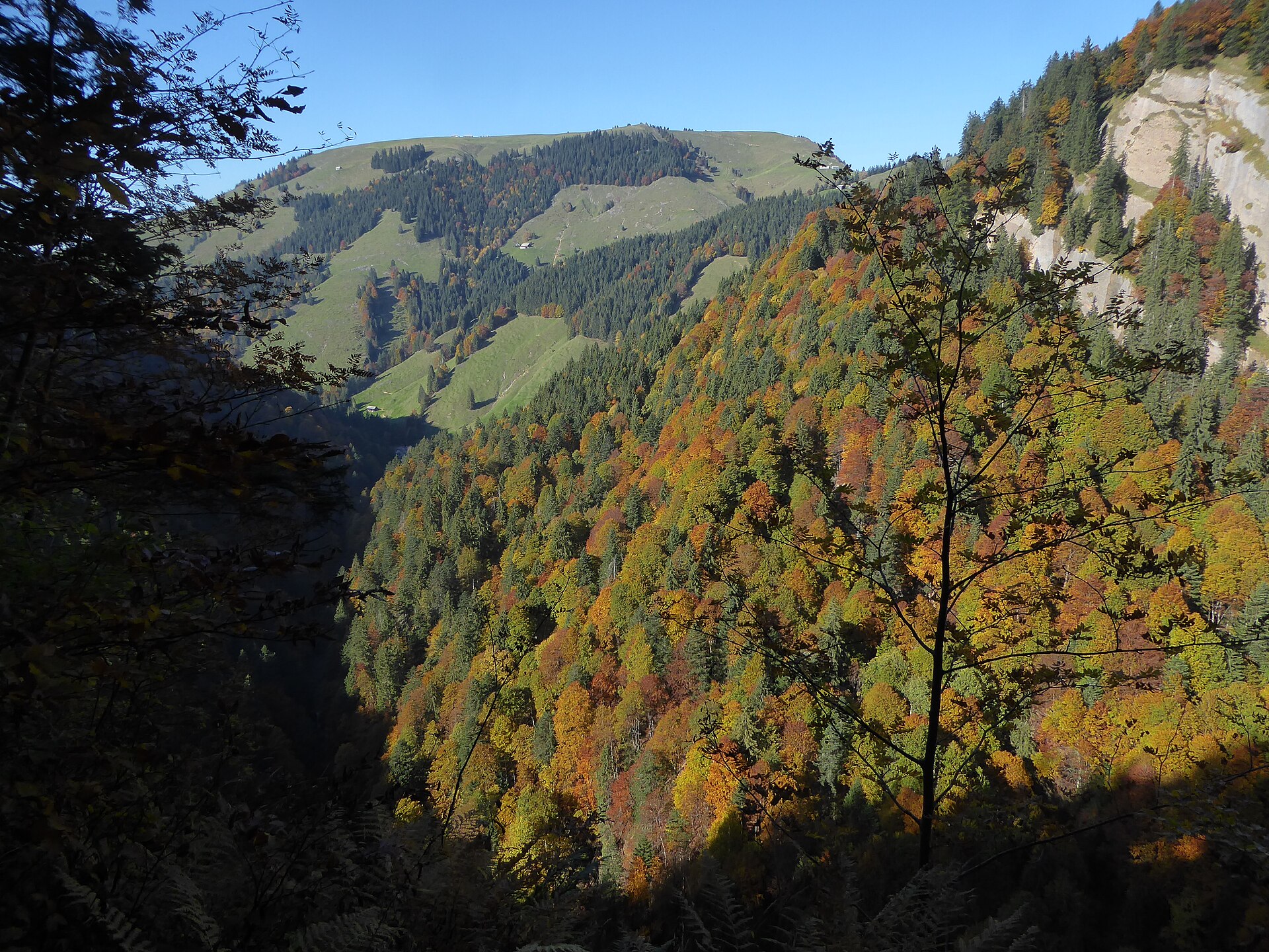
The lake belongs to the Gräppelen landscape, which is listed in the Swiss federal inventory of mire landscapes (object no. 387). The protected area covers over 438 hectares at around 1,415 m above sea level. The inventory describes fens as the defining feature of the area, and says no other mire landscape of this type in the Alpine foothills is so strongly shaped by them. The peat formed on an impermeable layer of moraine, and the vegetation is mostly sedge meadows and wet grassland in good condition.
For a visitor that means open, quiet scenery: water, marsh and pasture, with mountains all around.
What can you see from the lake?
The views take in the Churfirsten, whose summits range from Selun (2,205 m) to Chäserrugg (2,262 m), plus the Säntis and the Altmann. It is an easy place to get all of them into a single photo. The area is protected, so keep to the marked paths and stay off the wet meadows.
How do you get there?
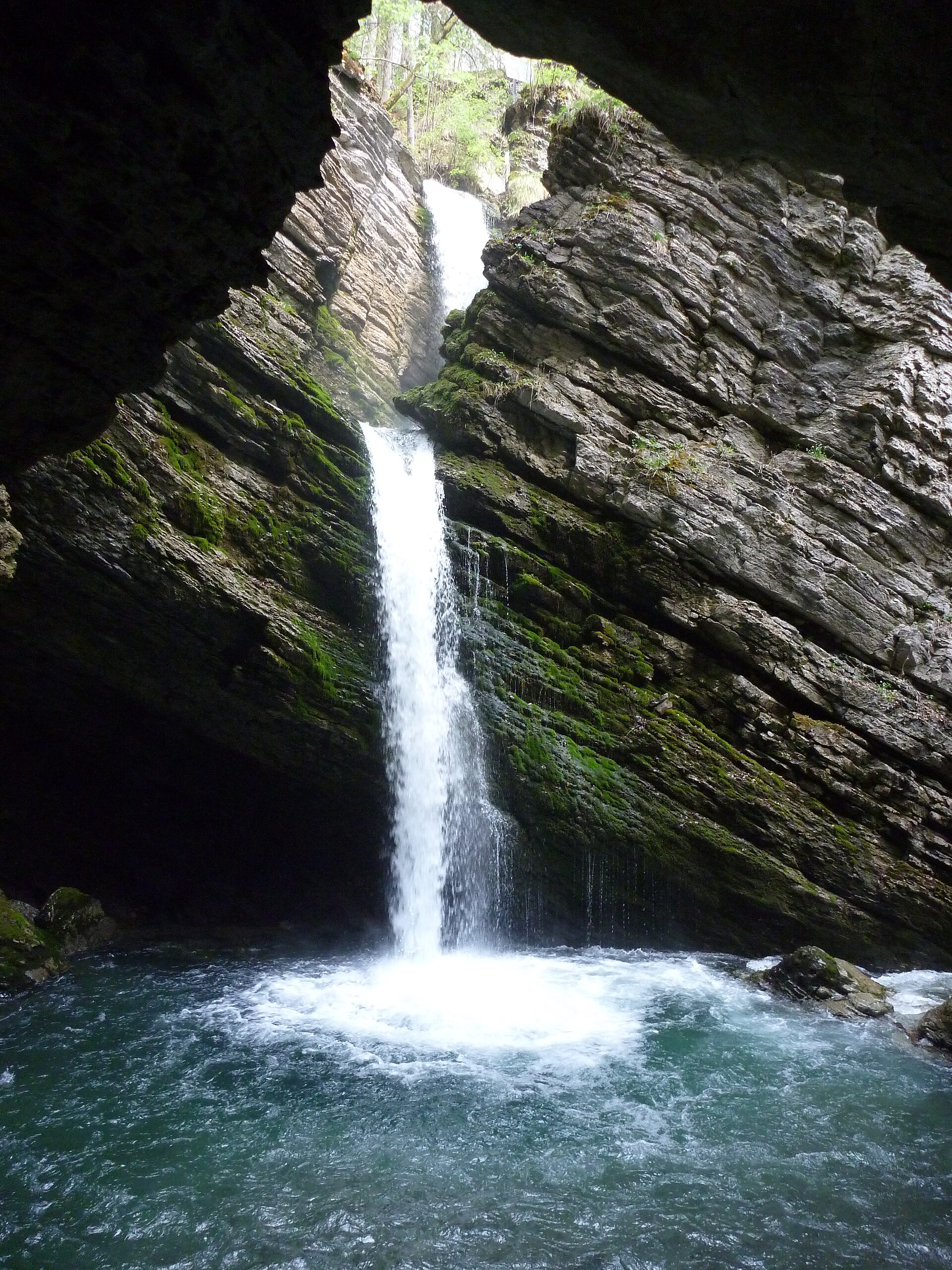
On foot. The easiest hike to the lake passes the Thur waterfalls (Thurwasserfälle). A popular loop from Unterwasser, starting at the Iltios top station, is about 12.5 km with 470 m of climbing according to Komoot, with views of the Säntis.
By bike. The ride up is demanding. From Unterwasser or Alt St. Johann there are ramps close to 20 percent, and the routes from Alt St. Johann and from Wildmannlisloch are rated hard.
In winter. The area is described as suitable for snowshoe tours, which start from the nearby Toggenburg resorts.
When should you visit?
Summer gives the most comfortable trail conditions, with green pasture and fen. In winter the area turns into snowshoe terrain. Check when the lifts at Unterwasser and Wildhaus are running, since they shorten the approach, and plan most of a day for the longer loop.
What else is nearby?
The Schwendi lakes (Schwendiseen) above Unterwasser lie in the same kind of mire landscape. An easy nature trail leads to them from the Iltios top station in Unterwasser or from the Oberdorf top station in Wildhaus, and the full outing takes 4 to 8 hours. You can combine it with a visit to Gräppelensee.
Frequently asked questions
Can you swim in Gräppelensee?
There are no bathing facilities. It is a small body of water in a protected fen, so the main draw is the scenery and the walk.
Is the approach difficult?
The hike past the Thur waterfalls is easy. The bike routes from the valley are harder, with climbs near 20 percent.
Which peaks can you see from the lake?
The Churfirsten (from Selun to Chäserrugg), the Säntis and the Altmann.
Can you visit in winter?
Yes, the area is described as a destination for snowshoe tours.
Nearby places

Earn badges for the places you visit
Download NextOnTrip, discover new places and check off your trails.