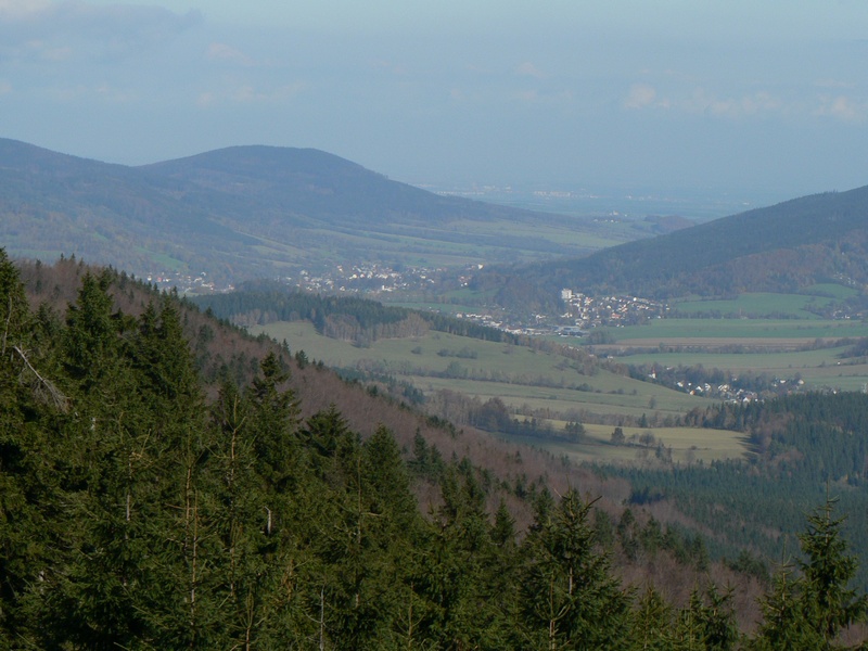
About this place
Studniční vrch is a hill rising to 991–992 metres above sea level (sources give slightly different figures), located in the Rychlebské hory range (Golden Mountains), part of the Eastern Sudetes, near the village of Česká Ves in northeastern Czechia.
Where is Studniční vrch located?
The hill sits in the Jeseník district, right next to Česká Ves, a small village at the foot of the Rychlebské hory a few kilometres from the town of Jeseník. Its approximate coordinates are 50°15′29″N, 17°09′59″E. The Rychlebské hory form one of the ranges of the Eastern Sudetes stretching along the Czech-Polish border, known for extensive, densely forested slopes and a comparatively moderate elevation next to the neighbouring Jeseníky massif, home to the range's highest point, Praděd.
How high is the summit?
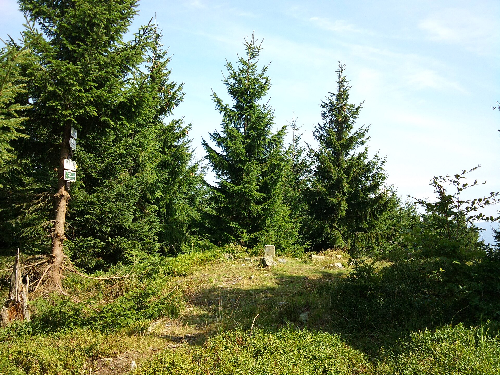
Different cartographic sources list the elevation of Studniční vrch as either 991 or 992 metres. A one-metre discrepancy like this is common for wooded, flat-topped hills, where the exact survey point can vary slightly between successive geodetic surveys.
What is the surrounding area like?
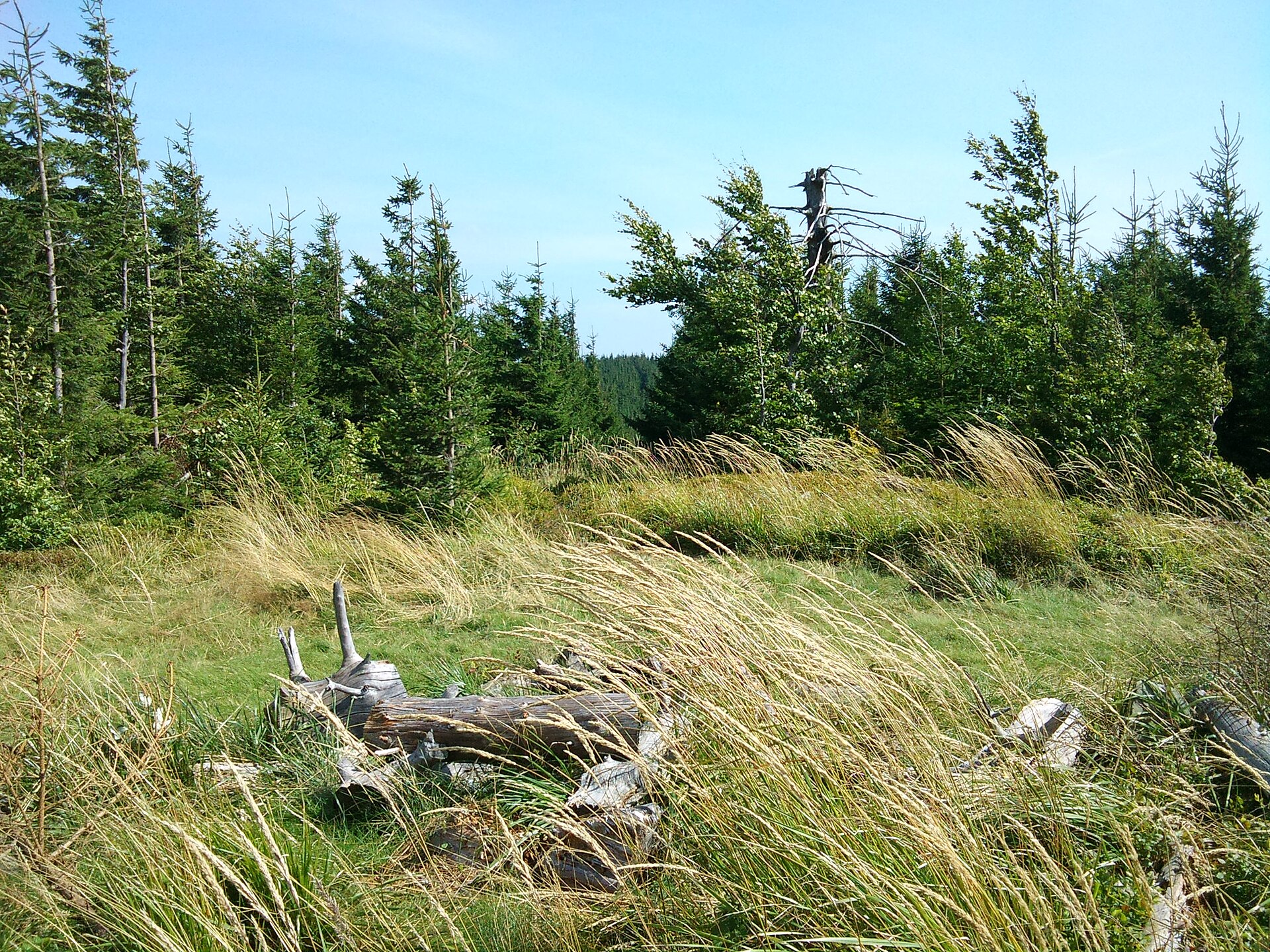
The Rychlebské hory have a classic Sudeten character: dense forest cover, a mix of coniferous and deciduous stands, and gently rounded ridgelines. Compared with the busier peaks of the Jeseníky range, this part of the massif stays quieter and less crowded, which appeals to hikers looking for solitude away from the region's main tourist routes. Česká Ves works as a natural gateway into the Rychlebské hory, with routes heading both deeper into Czech territory and toward the Polish border.
How do you get to Studniční vrch?
The usual starting point for a hike is Česká Ves itself, which has good road and rail connections to Jeseník. Trails lead from the village into the Rychlebské hory massif, and the hill lies within the trail network covering this part of the range, typical of the wider Eastern Sudetes region. Given the forested nature of the summit, it is worth carrying a proper hiking map of the area before setting out.
When is the best time to visit?
Late spring through early autumn is the most convenient period for hiking in the Rychlebské hory, when trails are dry and passable and the range's dense forests look their best in full leaf. In winter the terrain can be harder to access because of snow and icy stretches on steeper sections, so a winter trip calls for proper preparation and experience.
Frequently Asked Questions
How high is Studniční vrch? Depending on the source, its elevation is given as either 991 or 992 metres above sea level.
Where exactly is this hill located? In the Rychlebské hory (Golden Mountains), part of the Eastern Sudetes in northeastern Czechia, near the village of Česká Ves in the Jeseník district.
Is Studniční vrch a popular hiking destination? It is one of many forested summits in the Rychlebské hory. The area sees less foot traffic than the neighbouring Jeseníky range, which draws hikers who prefer a quieter walking experience.
Where's the best place to start a hike to the summit? Česká Ves is the natural starting point, with trails leading from the village into the Rychlebské hory massif.
Nearby places

Earn badges for the places you visit
Download NextOnTrip, discover new places and check off your trails.