About this place
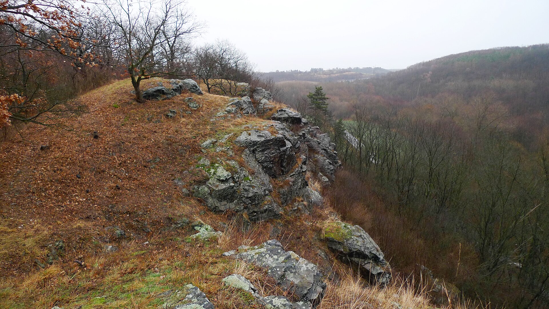
Sprašová rokle u Zeměch, the Loess Ravine near Zeměch, is a small but scientifically striking nature monument on the southern edge of the village of Zeměchy, part of the town of Kralupy nad Vltavou in the Mělník district of Central Bohemia. Covering barely 1.5 hectares, this deeply cut gully offers one of the clearest windows into Central Europe's climate history over the last two hundred thousand years.
What exactly is exposed in the ravine?
The ravine's walls expose a thick sequence of loess — a fine, wind-blown dust deposit laid down over hundreds of thousands of years during successive glacial periods. In places the loess layer here reaches up to 30 metres in thickness, resting on older Carboniferous bedrock. It is precisely this thickness and legibility of the layering that led to the site being protected as a nature monument since 1986.
Why do geologists value this spot so highly?
The Zeměchy profile is a textbook example of alternating loess and fossil soil horizons — darker bands that formed during warmer interglacial periods, when vegetation took hold and soil had time to develop before being buried again under wind-blown dust. This rhythmic sequence of light and dark layers works like a recorded timeline of climatic swings, letting researchers trace how often and how intensely the climate shifted during the Pleistocene, long before humans began shaping the landscape. For geologists and paleoclimatologists, it stands as one of the classic reference sections in the Czech Republic, regularly used to compare against other loess profiles across the region.
Is there more to the ravine than just rock layers?
Despite its modest size, the site also has ecological value. On its dry, sun-exposed slopes, remnants of black-earth steppe vegetation have survived — a plant community typical of fertile chernozem soils that has become rare in this part of the Czech Republic. The dry, calcareous loess substrate also suits heat-loving insects and several notable snail species that favour this kind of warm, mineral-rich ground. This combination of geology and steppe microhabitat makes the ravine a small but genuinely diverse ecosystem.
Where exactly is it, and how high does it sit?
The ravine sits at an elevation of 195 to 214 metres above sea level, on a gentle rise right beside the built-up area of Zeměchy. Its proximity to Kralupy nad Vltavou makes it an easy stop for anyone in the region, though because of its protected status, visitors should stick to the marked paths and avoid disturbing the exposed loess walls directly.
Frequently asked questions
Can you walk right up to the exposed walls? The site is a protected nature monument, so visitors are advised to stay on existing paths and avoid climbing on the loess faces themselves, which are fragile and prone to erosion.
Since when has the area been protected? It was declared a nature monument in 1986, in recognition of the unique scientific value of its exposed loess profile.
What made the loess layer grow so thick here? Centuries of wind-deposited dust accumulating during glacial periods, combined with limited erosion, allowed the sequence to build up to an unusually thick 30 metres for the region.
Is it worth visiting without any geological background? Yes — even without specialist knowledge, the alternating bands of light and dark sediment are visible to the naked eye, and that visual record alone explains why the site earned protected status.
Nearby places

Earn badges for the places you visit
Download NextOnTrip, discover new places and check off your trails.