About this place
Špičák is a modest but scenic hill in the Nízký Jeseník (Low Jeseníky) range, just west of the village of Horní Město, in the Bruntál district of the Moravian-Silesian Region. At 777 metres above sea level it is far from the highest peak around, but its open slopes and wide panorama make it a favourite short outing for anyone based near Rýmařov.
Where exactly is Špičák?
The hill sits in the north-western part of the Sovinecko Nature Park, west of Horní Město, at coordinates 49.912915, 17.1828886. On its northern slope lies the small settlement of Dobřečov, part of the Horní Město municipality. Geographically the area belongs to the Nízký Jeseník range, known for its many long-extinct volcanoes — which explains the gentle, rounded shapes typical of the surrounding hills.
What does the summit look like?
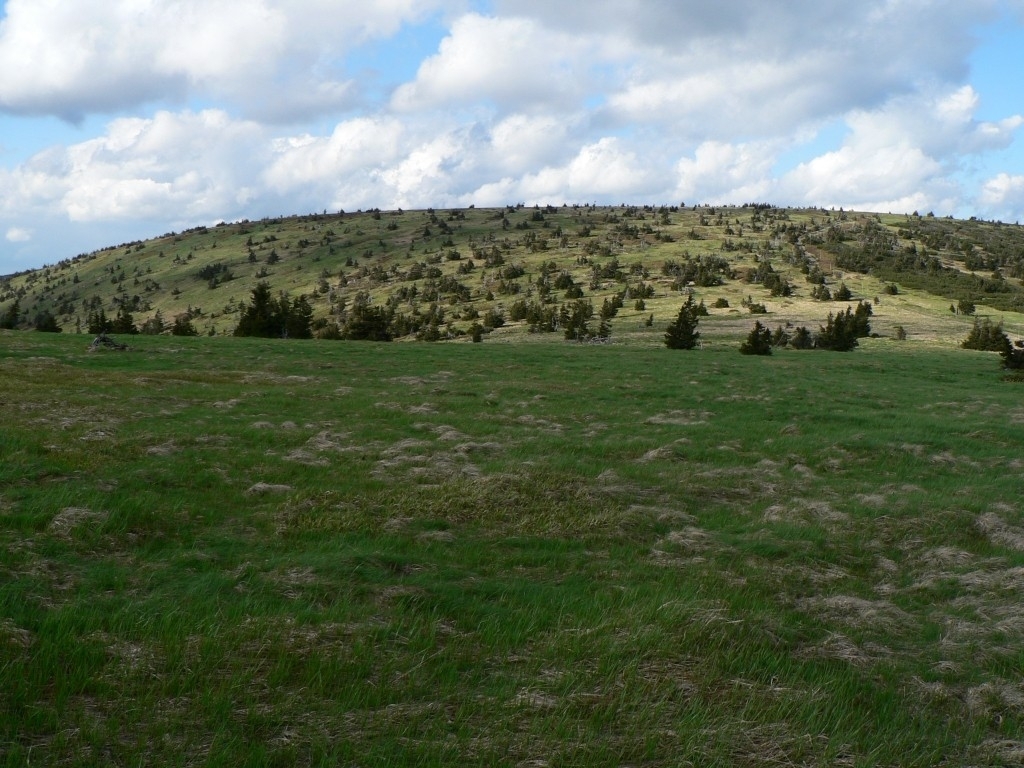
The top of Špičák carries a small rock outcrop, an unassuming but distinctive landmark. The southern slope is covered by a modest patch of forest, while the remaining slopes are open meadows. Because most of the hill is grassy rather than wooded, the approach to the summit runs largely through open ground, which also means good visibility during the climb itself.
What can you see from the top?
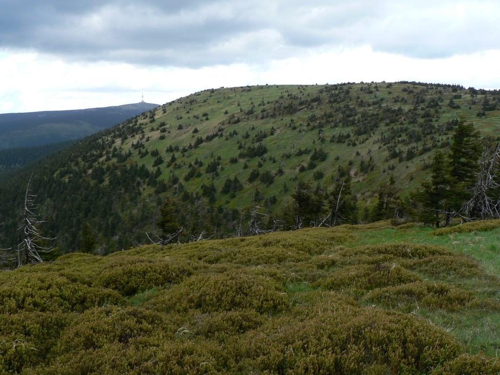
Thanks to its open, meadow-covered slopes, Špičák offers a pleasant view over the panorama of the Jeseníky peaks. That view is really the point of the visit — this is not a hill with built viewing infrastructure or facilities, but a quiet vantage point over the surrounding mountain ranges, reached without tackling any of the taller, busier summits nearby.
How do you get to the summit?
A red-marked hiking trail runs along the western slope of Špičák, connecting Tvrdkov through the hamlet of Bedřichov with the ruins of Rabštejn Castle. In the settlement of Dobřečov, a red-marked spur branches off this trail and leads directly to the summit. That spur is the most convenient way up for hikers combining the peak with a longer route through the surrounding countryside.
What is the region's historical background?
Horní Město, at the foot of Špičák, has a long mining history. The earliest known documents recording mining activity here date back to 1346–1360, and the Horní Město – Skály area was one of the oldest and most important mining centres in the Jeseníky mountains. Silver was extracted from the Middle Ages until the late 16th century; as the silver mines declined, iron ore mining took over from the 17th century onward. Count Harrach later founded ironworks in the region, and the first blast furnace in Rýmařov was put into operation in 1760. Mining finally ended in 1880, once it stopped being profitable. These facts describe the wider region rather than the hill itself, but they explain why traces of old shafts and smelting works can still be found in the surrounding villages.
Frequently asked questions
How high is Špičák? The hill reaches 777 metres above sea level.
Is this the same Špičák as the famous peak near Železná Ruda in the Šumava mountains? No. This is a completely different, much lower hill in the Nízký Jeseník range, near Horní Město and Rýmařov. "Špičák" (literally "the pointed one") is a very common Czech hill name, shared by several distinct mountains.
Is there a lookout tower on the summit? No, the main appeal is the natural, open view of the Jeseníky panorama afforded by the meadow slopes, rather than any built viewing structure.
What is the easiest way to reach the top? Take the red-marked trail with its spur at the Dobřečov settlement, part of the Tvrdkov – Bedřichov – Rabštejn Castle ruins route.
Are there any mining-related sites nearby? Horní Město itself has a long mining tradition (silver, later iron ore) dating back to the 14th century, though those traces belong to the village and the wider region rather than to the hill itself.
Nearby places

Earn badges for the places you visit
Download NextOnTrip, discover new places and check off your trails.