About this place
Sirská hora is a forested hill rising to roughly 592–593 meters above sea level in the Křivoklát Highlands (Křivoklátská vrchovina), in the Rokycany district of central Bohemia, Czech Republic. It stands less than a kilometer from the village of Sirá, between the towns of Mýto and Zbiroh, and about 12 km west of Hořovice. This is a destination for a quiet forest walk rather than a scenic summit for panoramic photos.
How high is Sirská hora and where exactly is it?
The summit reaches about 592–593 meters above sea level, sitting on the northeastern edge of the Křivoklát Highlands among several other modest hills of the same range. The closest neighbors, just over a kilometer away, are Hůrka (514 m) and Kněžský vrch (586 m). The peak's coordinates are roughly 49.8147°N, 13.7283°E.
Is there a marked trail to the top?
No official trail leads all the way to the summit itself — it's a classic "off-path" hill that requires walking without following colored waymarks once you leave the main routes. A few dozen meters below the top, though, there's a junction known as "Pod Sirskou horou," where a blue trail coming from Mýto and Sirá crosses a yellow trail arriving from Těškov, which terminates right there. This crossing is the natural starting point for anyone who wants to push on to the actual summit despite the lack of a signed path.
Are there views from the summit?
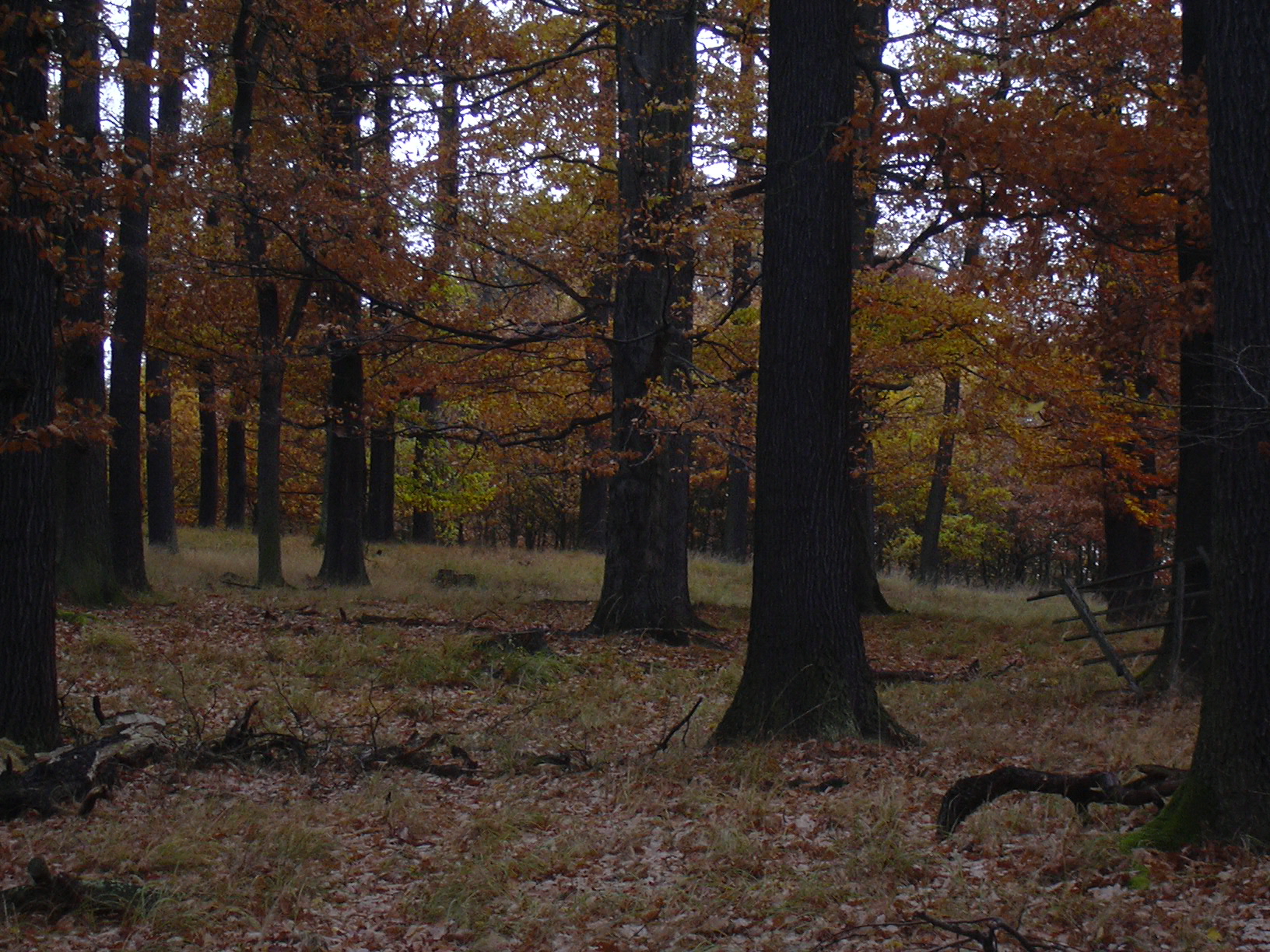
No. The top is densely wooded and offers no viewpoints or panoramas. This is a hill for a walk in the forest and a bit of quiet, not for admiring the landscape from above — visitors after views should head to more open hills nearby instead.
Is there any tourist infrastructure?
There's no mountain hut, shelter, or overnight accommodation at the top. The summit is freely accessible year-round, there's no cable car, and the terrain isn't wheelchair-accessible — it's a typical undeveloped forest hill.
Who is Sirská hora for?
It suits hikers who enjoy short, peaceful forest outings, especially those already exploring the area around Rokycany, Zbiroh, or Hořovice and looking for an off-the-beaten-path stop along the way. Sirská hora is also occasionally listed among the local "highest hills of Křivoklátsko" hiking challenge, which draws peak-baggers who like to tick off the region's summits.
Frequently asked questions
How high is Sirská hora? About 592–593 meters above sea level.
Where is Sirská hora located? In the Rokycany district of central Bohemia, in the Křivoklát Highlands, roughly 800 m from the village of Sirá and 12 km west of Hořovice.
Can you reach the summit without following a marked trail? Yes, the summit is freely accessible, but no marked trail leads directly to it — you approach from the nearby "Pod Sirskou horou" junction.
Are there views from the top? No, the summit is forested and has no recognized viewpoints.
What are the closest peaks? Hůrka (514 m) and Kněžský vrch (586 m), both just over a kilometer away.
Nearby places

Earn badges for the places you visit
Download NextOnTrip, discover new places and check off your trails.