About this place
Těchovín is a forested hill rising to 617 metres above sea level near the village of Líšná in the Rokycany district of the Plzeň Region. It marks the highest point of the Křivoklátsko Protected Landscape Area, drawing hikers who prefer quiet forest trails over crowded lookout towers or marked tourist infrastructure.
Where is Těchovín located?
The hill rises through the woods north of Líšná, roughly 7 km northeast of Zbiroh and 6 km south of Skryjí. Líšná itself is a small municipality in the Rokycany district, about four kilometres from Zbiroh, nine from Hořovice, and twenty-two from the district town of Rokycany. Almost the entire municipality lies within the Křivoklátsko Protected Landscape Area, and it's from the extensive forests north of the village that the region's highest point emerges.
How do you get to the summit?
No official marked hiking trail leads to the top of Těchovín — one detail that sets it apart from Bohemia's better-known peaks. Even so, the hill is easy enough to reach via forest roads from several directions. A yellow-marked trail passes near its northwestern foot, running between the Na Januškách forester's lodge and the Pod Týčským vrchem junction. From there, a short walk along one of the many forest tracks brings you up onto the ridge.
What will you find up there?
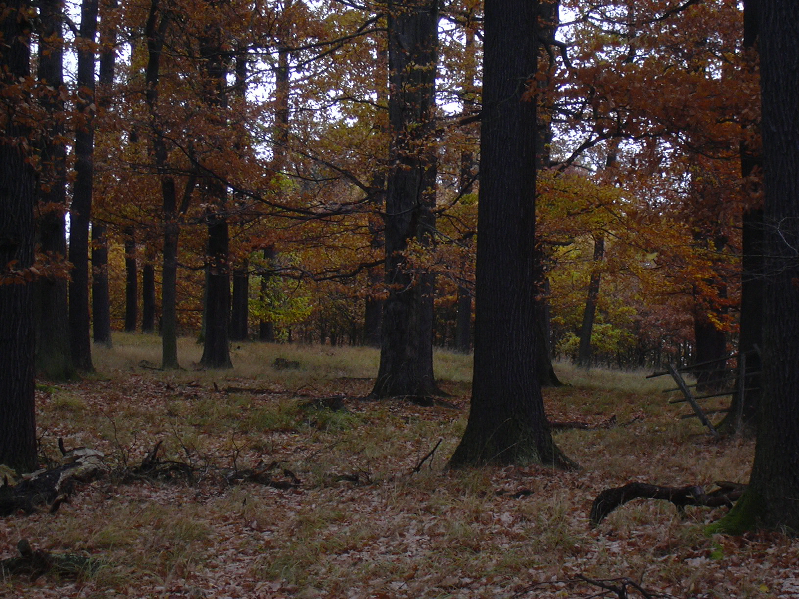
Těchovín is really a narrow ridge, about a kilometre long, running southwest to northeast, with two almost equally high summits at 616.3 and 616.7 metres. Its steep flanks and elongated crest are covered by a mixed deciduous forest of beech, oak, maple, ash, and old lime trees. It's this stand of mature, largely undisturbed woodland that makes Těchovín valuable within the Křivoklátsko reserve, even without a single viewpoint or marked attraction along the way.
Geologically, the hill has an unusual story: it formed as far back as the early Cambrian period, likely as an underwater volcano, and is built from volcanic rock — rhyolite — with a distinctive brownish-red colour that surfaces in places along the ridgeline.
When is the best time to visit?
April through October is the most rewarding window, when the forest roads are dry and easy to walk and the deciduous woodland is at its best — spring brings the forest floor to life, autumn turns the beech and maple canopy gold and copper. In winter, the lack of marked paths combined with snow cover makes the approach harder, though experienced hikers may still find it worthwhile.
What else is worth combining with a visit?
The area around Těchovín sits at the heart of Křivoklátsko, a region known for its vast, sparsely populated forests, deep valleys, and medieval castles. It's worth planning a longer route linking the hill with nearby peaks and valleys around Zbiroh and Skryjí, using the network of forest roads and the yellow trail as your reference point.
Frequently asked questions
Is there a marked trail to the top of Těchovín? No, there is no official marked trail to the summit itself. You reach it via forest roads, using the nearby yellow trail as a starting point.
How high is Těchovín? The hill rises to 617 metres above sea level and is the highest point in the entire Křivoklátsko Protected Landscape Area.
Is there a lookout tower on the summit? No, Těchovín has no viewing tower or official viewpoint — it's a forested ridge without tourist infrastructure.
How far is Těchovín from Líšná? The hill lies in the forest within Líšná's cadastral territory, directly adjoining the village, inside the Křivoklátsko Protected Landscape Area.
Nearby places

Earn badges for the places you visit
Download NextOnTrip, discover new places and check off your trails.