About this place
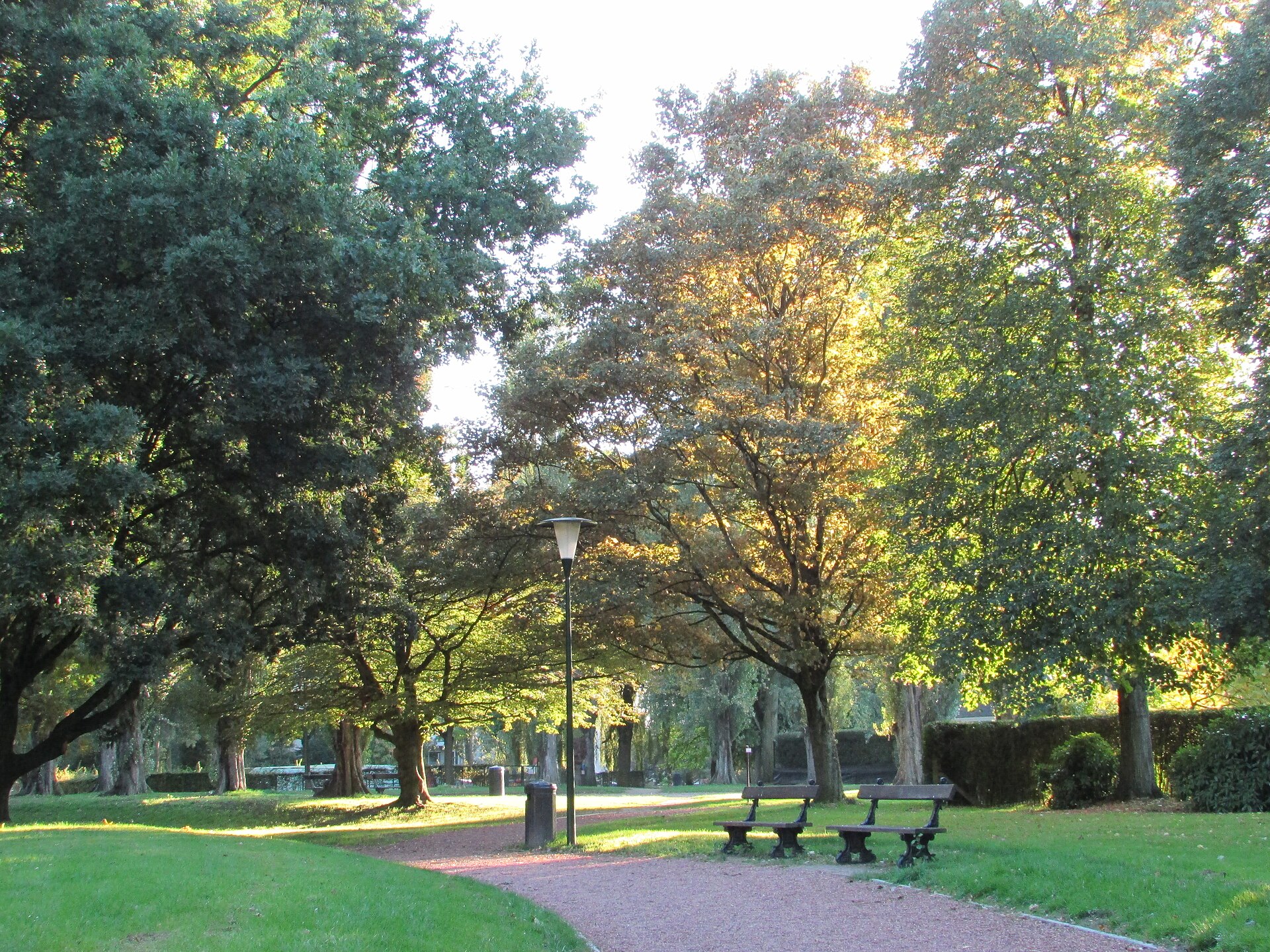
Scherdemael Park is a nearly eight-hectare green space in Anderlecht, one of Brussels' municipalities, spread across the Scherdemael plateau between Boulevard Joseph Bracops and the avenues Libre Académie, Camille Vaneukem and Capitaine Fossoul. It ranks among the larger neighbourhood parks on the western side of the city and is a popular everyday recreation spot for local residents.
Where does the name come from and how did the park take shape?
The land that is now the park spent centuries as vegetable farmland — Scherdemael was an area of intensive market gardening supplying Brussels. Change began in the early 1930s, when Anderlecht's municipal council decided to turn the plateau into a new residential district. The real turning point, however, came after the Second World War: in 1945 Régie Foncière, the municipal property company, bought up all the plots in the area and drew up a fresh development plan.
What is the "park system" concept visible here?
The 1945 plan followed the idea known as the "park system" — an urban model combining housing with extensive green areas. Rather than planning blocks, villas and infrastructure separately, the whole district was designed as a single coherent unit: apartment buildings, single-family villas, service facilities, a shopping centre, a church and a primary school were arranged around and within a green space equipped with recreational grounds, sports fields and parking areas. Scherdemael Park is precisely that central, connecting green element of this post-war urban planning concept.
When was the park officially opened?
The park officially opened on 19 July 1964, years after the 1945 development plan began to be implemented. From that point it became the main public space of a district built on former farmland.
What can visitors see in the park today?
The park stretches between Avenue d'Itterbeek and Rue de Neerpede and covers close to eight hectares of greenery. The Brussels-Capital Region's natural heritage inventory lists as many as 53 remarkable trees within its boundaries — a notable number for a park of this size, pointing to a mature tree stock that has had decades to grow since the site opened in the 1960s.
The park's layout, designed in a post-war modernist spirit, combines recreational and sporting functions: alongside walking paths and lawns there are also areas set aside for physical activity, in keeping with the original "park system" idea of a space serving the whole surrounding community.
Frequently asked questions
Where exactly is Scherdemael Park located? In Anderlecht, one of Brussels' 19 municipalities, on the Scherdemael plateau between Boulevard Joseph Bracops and the avenues Libre Académie, Camille Vaneukem and Capitaine Fossoul, near Avenue d'Itterbeek and Rue de Neerpede.
How large is the park? It covers close to eight hectares.
When did the park open? Officially on 19 July 1964.
What was on this land before? Farmland — Scherdemael was a market-gardening area supplying Brussels before the municipality decided, between 1930 and 1945, to turn it into a residential district built around a central park.
Does the park have any notable trees? Yes, the regional natural heritage register lists 53 trees in the park as remarkable specimens.
Nearby places

Earn badges for the places you visit
Download NextOnTrip, discover new places and check off your trails.