About this place
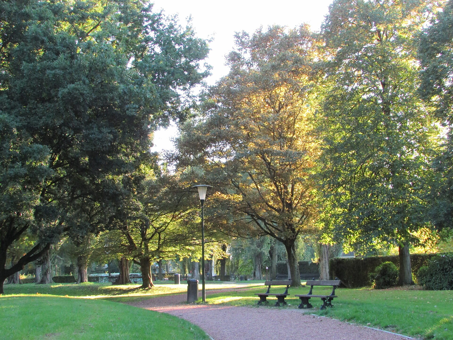
Parc des Étangs ("Park of the Ponds") is a nearly nine-hectare green strip in Anderlecht, one of the municipalities of the Brussels-Capital Region, stretching along the bottom of the Neerpedebeek stream valley. As the name suggests, the park's core feature is a chain of water bodies fringed by natural vegetation, through which the stream traces its last visible meanders before disappearing underground and eventually flowing into the river Senne.
Why are there ponds here?
The water bodies in the park double as a municipal stormwater retention basin, collecting and buffering rainwater from the surrounding area before it is released into the sewer system and, ultimately, the Senne. This practical hydrological function has, over time, become inseparable from the park's identity — so much so that the surrounding neighborhood is officially known as the "Quartier Étangs" (Ponds District).
When was the park created?
Sources disagree on the exact founding date, with some pointing to the 1960s and others to the 1980s, a period when the land along the Neerpedebeek valley was progressively turned into public green space. Whatever the precise timeline, the park was established to preserve one of the last stretches of the stream's natural valley in an otherwise densely built-up part of Anderlecht.
What grows along the water?
The banks are lined with white willows, weeping willows, hawthorns and several species of maple, forming a natural buffer between the water and the surrounding urban fabric. Closer to the waterline, the marshy vegetation typical of Brabant water bodies thrives: sedges, arrowhead, yellow water-lily, water plantain, hairy willowherb, rush, yellow flag iris, common reed and bulrush. This variety makes the park, despite its modest size, a valuable habitat for waterfowl and wetland insects.
What role does it play in the wider green network?
Parc des Étangs is not an isolated patch of green — it forms a link in the so-called "Park System", a chain of connected green spaces that joins the nearby Scherdemael Park with the Pede Regional Park. This connection lets walkers and cyclists move between successive stretches of green without crossing busy streets, while also giving wildlife an ecological corridor linking larger natural areas in western Brussels.
What should visitors know before going?
The park has a quiet, naturalistic character: it is a place for walking, birdwatching or resting in the shade of the willows rather than a hub of built recreational infrastructure. It lies in the western part of Anderlecht, on land that once formed the Neerpedebeek valley, close to other green pockets of the district.
Frequently asked questions
Can you swim or fish in the ponds? The water bodies function as stormwater retention basins and wetland habitat, so they are not intended for swimming or recreational fishing.
Is the park a good spot for birdwatching? Yes — the dense reed and tree vegetation around the ponds attracts waterfowl, making it an appealing stop for anyone interested in observing urban wildlife.
Can you walk from Parc des Étangs to other nearby parks? Yes, the park is part of a connected green network linking it to Scherdemael Park and the Pede Regional Park, allowing for longer walks through several parks in a row.
Where exactly is the park located? In Anderlecht, one of the municipalities of the Brussels-Capital Region in Belgium, within the area known as the Quartier Étangs.
Nearby places

Earn badges for the places you visit
Download NextOnTrip, discover new places and check off your trails.