Save this place and discover nearby attractions with NextOnTrip
In the app you can add it to your favorites, see what else is worth visiting nearby on the map, and earn a badge for your visit.
The app is available for iPhone and Android.
About this place
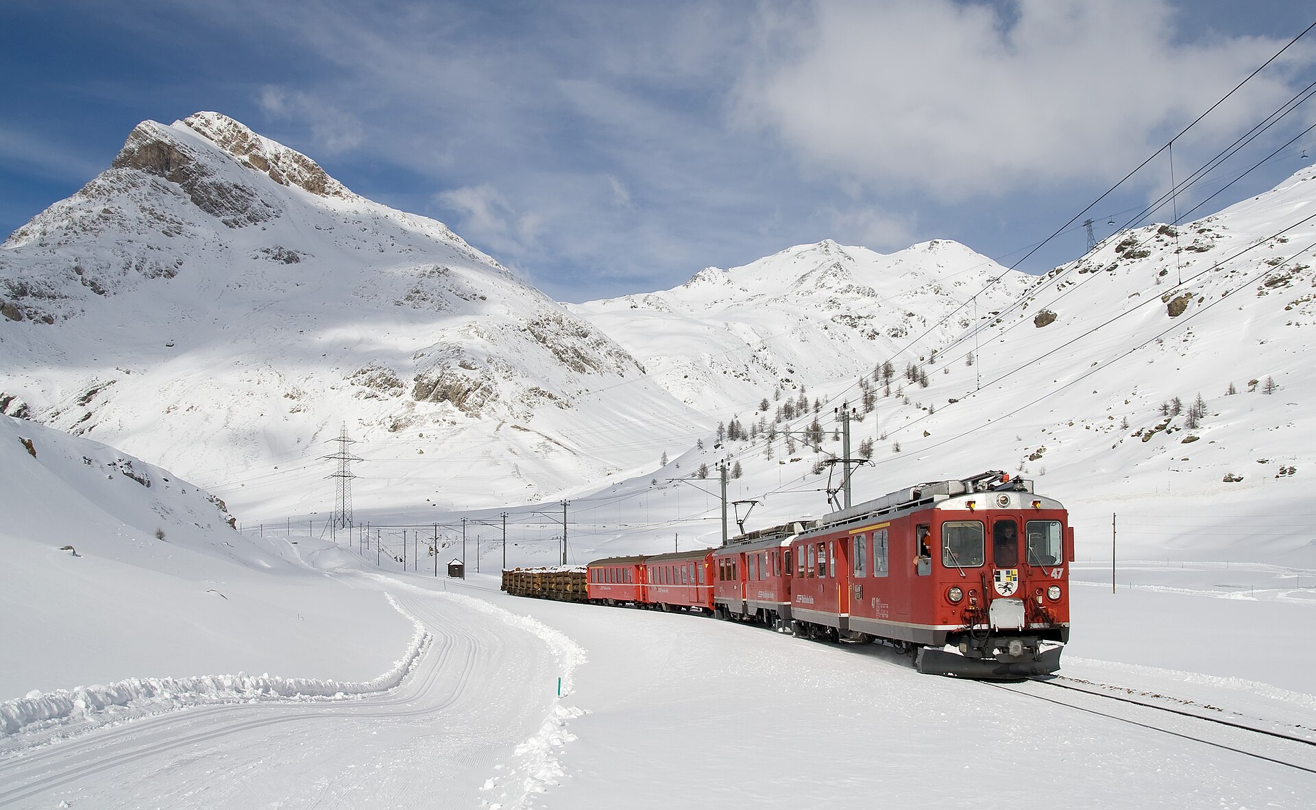
Piz Campasc is a 2,599 m summit in the canton of Graubünden, in the Poschiavo area right beside the Bernina Pass. It sits where the Bernina group meets the Livigno Alps, with Val Poschiavo spreading out to the south. It is not among the region's tallest peaks, but it is prized for its far-reaching views.
Where is Piz Campasc?
The peak rises close to the Bernina Pass on the boundary between two mountain groups, Bernina and the Livigno Alps. From here the pass road drops down the Val da Campasc towards Poschiavo and Italy, while the mountain itself falls away in steps towards Val Poschiavo.
How do you get to the top?
The hike begins at Ospizio Bernina railway station or the slightly higher Ospizio Bernina/Albergo post bus stop. The trailhead lies at roughly 2,254 m, leaving about 400 m of climbing.
- route: about 7.7 km,
- ascent: 407 m,
- time: around 2 h 50 min according to the official regional listing,
- grade: T3, a white-red-white mountain trail.
The lower section is easy, and about two thirds of the route is almost flat. Higher up, the path crosses a ridge-like shoulder and traverses the steep south-east flank. The final stretch follows a narrow, sometimes exposed rocky path across a few partly exposed gullies, so it suits sure-footed walkers who are comfortable with heights.
A pleasant variant splits off around halfway towards Lago Bianco and runs just above the shore back to Ospizio Bernina station.
What can you see from the summit?
The terrain below descends in stages into Valposchiavo. Piz Palü towers over Lago Bianco, and the crown of Upper Engadine peaks stretches to the north. It is one of the better Bernina viewpoints reachable without any climbing.
When should you go?
Pick a snow-free spell, typically summer and early autumn. Morning light flatters the Bernina views, and in poor weather the exposed sections turn risky, so check the forecast first. Bring sturdy hiking boots and extra layers, because the wind picks up above 2,000 m.
How do you reach the trailhead?
Ospizio Bernina is served by the Rhaetian Railway's Bernina line and by post buses over the pass. The Albergo at the stop offers food and lodging, so you can combine the hike with a meal or an overnight stay. Poschiavo makes a handy base for more valley excursions.
Frequently asked questions
How high is Piz Campasc? 2,599 m above sea level.
How long does the hike take? The full loop takes roughly 2.5 to 3 hours, with 407 m of ascent.
Is it difficult? It is rated T3: the lower part is easy, but the final section can be exposed and needs a steady step.
Where do you start? At Ospizio Bernina station or the nearby post bus stop by the Albergo.
Nearby places

Earn badges for the places you visit
Download NextOnTrip, discover new places and check off your trails.