Save this place and discover nearby attractions with NextOnTrip
In the app you can add it to your favorites, see what else is worth visiting nearby on the map, and earn a badge for your visit.
The app is available for iPhone and Android.
About this place
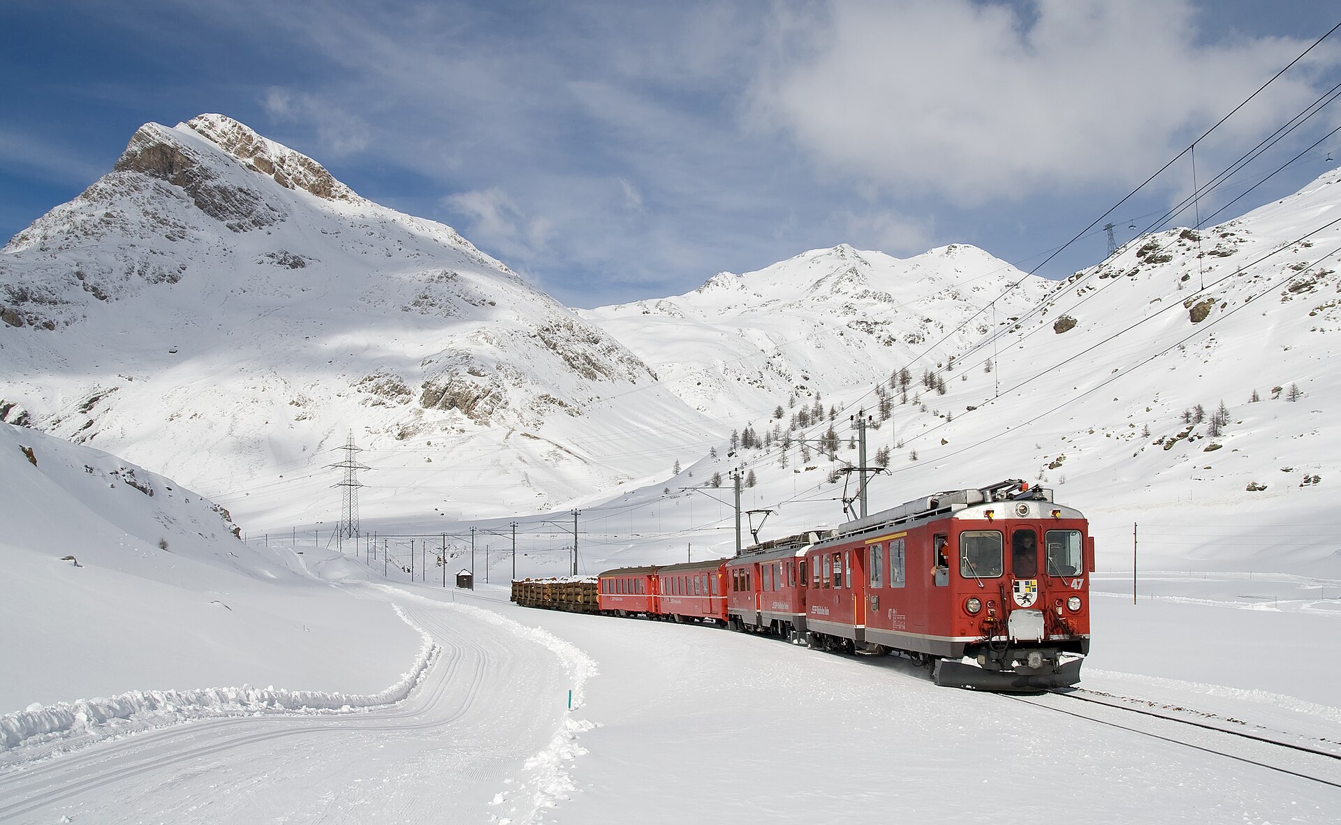
Piz Minor is a 3,049 m summit in the Pontresina area of Graubünden, Switzerland. It belongs to the Livigno Alps, part of the Rhaetian Alps, and its top rises above the Livigno Pass (Forcola di Livigno) to the east. It suits mountaineers who want a quieter objective than the famous peaks of the Bernina group.
Where is Piz Minor?
The mountain sits between the Bernina Pass, the Livigno Pass and the Engadine valley around Pontresina, at roughly 46.45° N, 10.03° E, close to the Italian border with Lombardy. The Val Minor runs along its southern side, and the well-known Lagalb ski area lies nearby. Do not confuse it with Pizzo dei Laghi (Piz dals Lejs, 3,044 m), a neighbouring summit whose climb runs mostly through Livigno territory on the Italian side.
How do you climb it in summer?
The described route begins by the Bernina Pass road near Diavolezza, at about 2,093 m. You follow the Val da Fain past Alp la Stretta, then climb the north flank to the top, gaining around 1,000 m. Guides rate it L or T4 on the mountain-hiking scale, so expect steep, rocky ground and the need for sure footing and route-finding. These ratings come mostly from community route descriptions, so compare them with a current guidebook or local advice before setting out.
Is Piz Minor a ski-touring objective?
Yes. In winter it is a ski ascent graded WS (PD) with about 1,000 m of climbing. The approach starts a few kilometres beyond the Bernina Pass on the Swiss side, from the Bernina Sud or Diavolezza car park, and follows a long valley before the final climb. Allow about 4 hours for the round trip, and check the avalanche bulletin first.
How do you get there?
By rail: take SBB and RhB trains from Chur to St. Moritz, then continue towards Pontresina and Diavolezza. The Bernina Diavolezza stop lies on the Bernina railway, so the trailhead works without a car. Parking is also available along the Bernina Pass road.
When should you go?
Plan the summer ascent for the snow-free months, generally summer to early autumn, since the north flank holds snow longer. Start early to leave a buffer for weather changes in the high mountains. Ski tours are a late-winter and spring option, once the snowpack is stable.
What else is nearby?
Trails lead around the Forcola di Livigno and Fuorcla Minor. A trekking and bike trail opened in 2015 links the Forcola pass with Ospizio Bernina (about 5.8 km). Mountain bikers connect Pontresina, Alp la Stretta and the Forcola on a loop of roughly 41 km, parts of which are demanding and exposed.
Frequently asked questions
How high is Piz Minor? 3,049 m above sea level.
Is it a difficult climb? The summer route is rated T4, so it is for experienced hikers rather than a casual walk.
Where is the best starting point? Near Diavolezza on the Bernina Pass road, at about 2,093 m.
How long does it take? With around 1,000 m of ascent, plan several hours one way. The ski tour takes about 4 hours round trip.
Nearby places

Earn badges for the places you visit
Download NextOnTrip, discover new places and check off your trails.