Save this place and discover nearby attractions with NextOnTrip
In the app you can add it to your favorites, see what else is worth visiting nearby on the map, and earn a badge for your visit.
The app is available for iPhone and Android.
About this place
Piz Bernina is the highest peak of the Eastern Alps, rising above Pontresina in Switzerland's Engadin valley. Its summit stands at roughly 4,048 m above sea level, making it the top point of the canton of Grisons and of the whole Bernina range.
Where is Piz Bernina and what makes it special?
The mountain lies south of Pontresina, not far from the resort of St. Moritz. The summit itself is in Switzerland, while the wider massif straddles the Italian border. A shoulder called La Spedla is the highest point of Italy's Lombardy region. Bernina is the easternmost 4,000-metre peak in the Alps and ranks fifth among Alpine summits for prominence. In Italian it is called Pizzo Bernina.
Can a beginner climb it?
No. This is a high-alpine expedition: glacier travel, a ridge climb and real exposure demand fitness, rope skills and mountaineering gear. Most visitors hire a mountain guide and split the ascent over two days with a night in a hut. The classic route follows the Biancograt, one of the best-known snow-and-ice ridges in the Alps. The first ascent was made in 1850 by Johann Coaz, a Swiss forester and surveyor.
What can you see without climbing?
You get the best view of the peak with both feet on the ground. From around Pontresina and the Val Morteratsch the glaciers of the massif come into view, and the area has a well-marked network of walking trails at every level. A stroll along the Morteratsch glacier tongue shows how far the ice has retreated in recent decades. For wide panoramas, head to the viewpoints reached by cable car near the Bernina Pass.
How do you get to Pontresina?
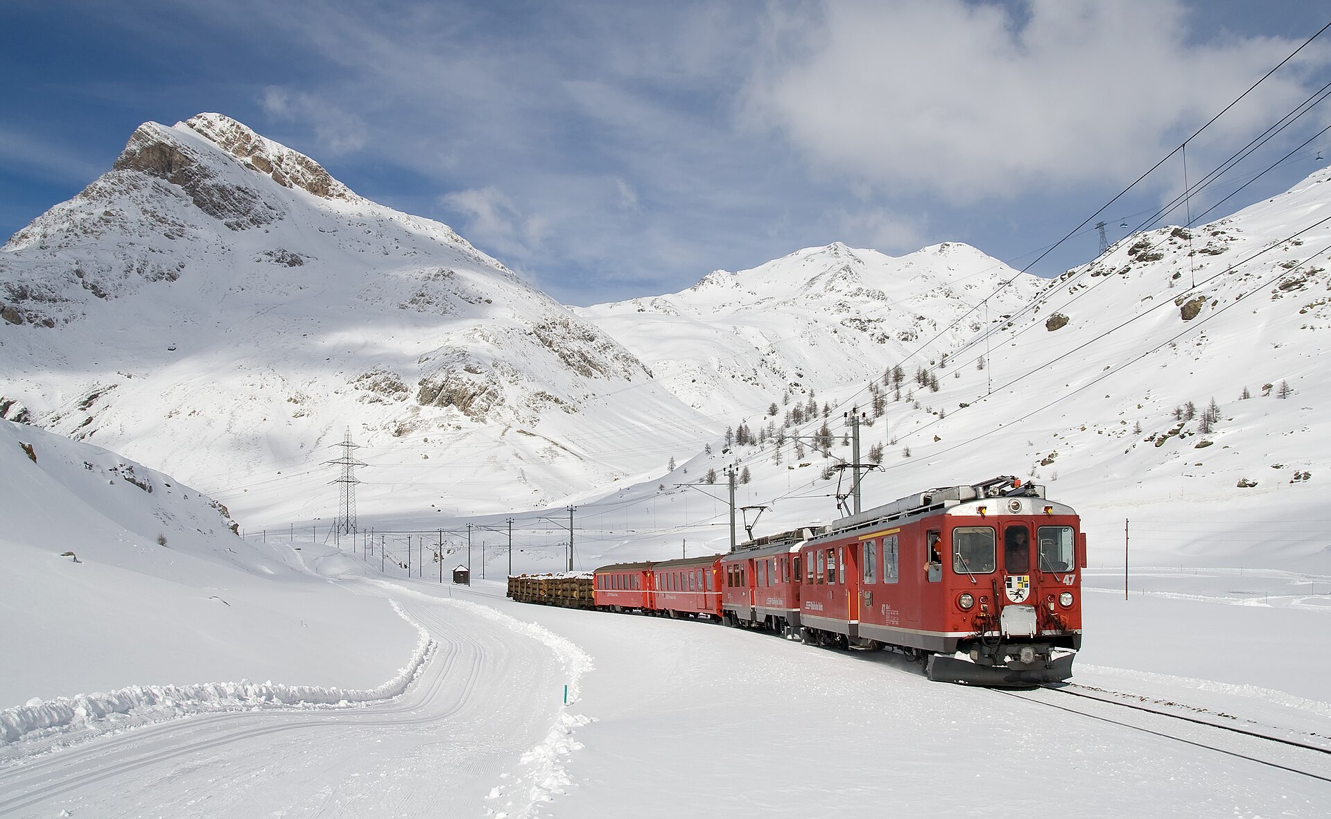
Pontresina is the most convenient base. It is a short train or bus ride from St. Moritz and sits on the Rhaetian Railway network. The Bernina Express line crosses the region and is a UNESCO World Heritage route. By car, you reach the area through the Engadin valley, with parking at the trailheads in the side valleys.
When should you go?
The climbing season usually runs from late spring to September, when glacier and ridge conditions are most stable. Valley hikes are best from June to October. In winter the area draws skiers and ski tourers, but an attempt on the summit then calls for expert avalanche assessment. Weather in the high mountains changes fast, so check the local forecast the day before you set out.
Frequently asked questions
How high is Piz Bernina? About 4,048 m. It is the highest peak in the Eastern Alps and the easternmost 4,000er in the range.
Is Piz Bernina in Switzerland or Italy? The summit is in Switzerland, in the canton of Grisons. The Italian border runs through the massif, and the La Spedla shoulder belongs to Lombardy.
Do I need a guide? Most people do. The route crosses a glacier and an exposed ridge, so without high-mountain experience the climb is too risky.
Where should I start? In Pontresina. The village has huts nearby, guide offices and good connections to St. Moritz.
Nearby places

Earn badges for the places you visit
Download NextOnTrip, discover new places and check off your trails.