About this place
Písek is a hill near the village of Čenkov, the highest summit of the Brdy range, standing on the right bank of the Litavka River. It rises to 691 metres above sea level, about 2.3 km northeast of Čenkov itself, in the Příbram district of the Central Bohemian Region.
What makes this hill worth a stop?
The name gives away its past: for generations, quarry workers dug quartz sand out of the slopes here to supply the glassworks in nearby Příbram, while iron ore was extracted from the neighbouring Komorsko pit. Traces of that old mining activity still shape the terrain, even though forest has long since reclaimed the ground. On the summit today stands a radar tower operated by the Czech air traffic control authority (Řízení letového provozu ČR) — a landmark visible from a considerable distance and one of the few man-made features breaking up the wooded skyline of Brdy.
Písek sits right in the heart of Brdy, a range that spent decades as a closed-off military training ground and only opened to hikers in 2016, after the military district was dissolved and the area became the Brdy Protected Landscape Area. That history is exactly why it still feels wilder and quieter than most hiking country in central Bohemia — deep forest, old ravines and ridgelines that ordinary visitors simply couldn't reach for most of the twentieth century.
How do you get there?
Čenkov village is the natural starting point, and the summit itself is a comparatively short outing by Brdy standards — under 2.5 km as the crow flies. The easiest approach is to drive to Čenkov or one of the neighbouring villages in the Příbram district, then continue on foot or by bike along the forest tracks that lead up the hill. It works well as a half-day trip for anyone chasing quiet trails rather than the busiest tourist routes in the country.
What will you actually see up there?
The summit area is mostly dense forest that has grown back over the old sand and ore workings, so the ground still carries a visibly uneven, worked-over character even though nature has taken it back. The radar installation on top is aviation infrastructure rather than a viewing platform, so don't expect a classic panoramic lookout — the appeal here lies in the terrain itself: the rugged shape of the Brdy hills, the physical scars of a mining past, and the unusual stillness left over from decades as restricted military land.
When is the best time to visit?
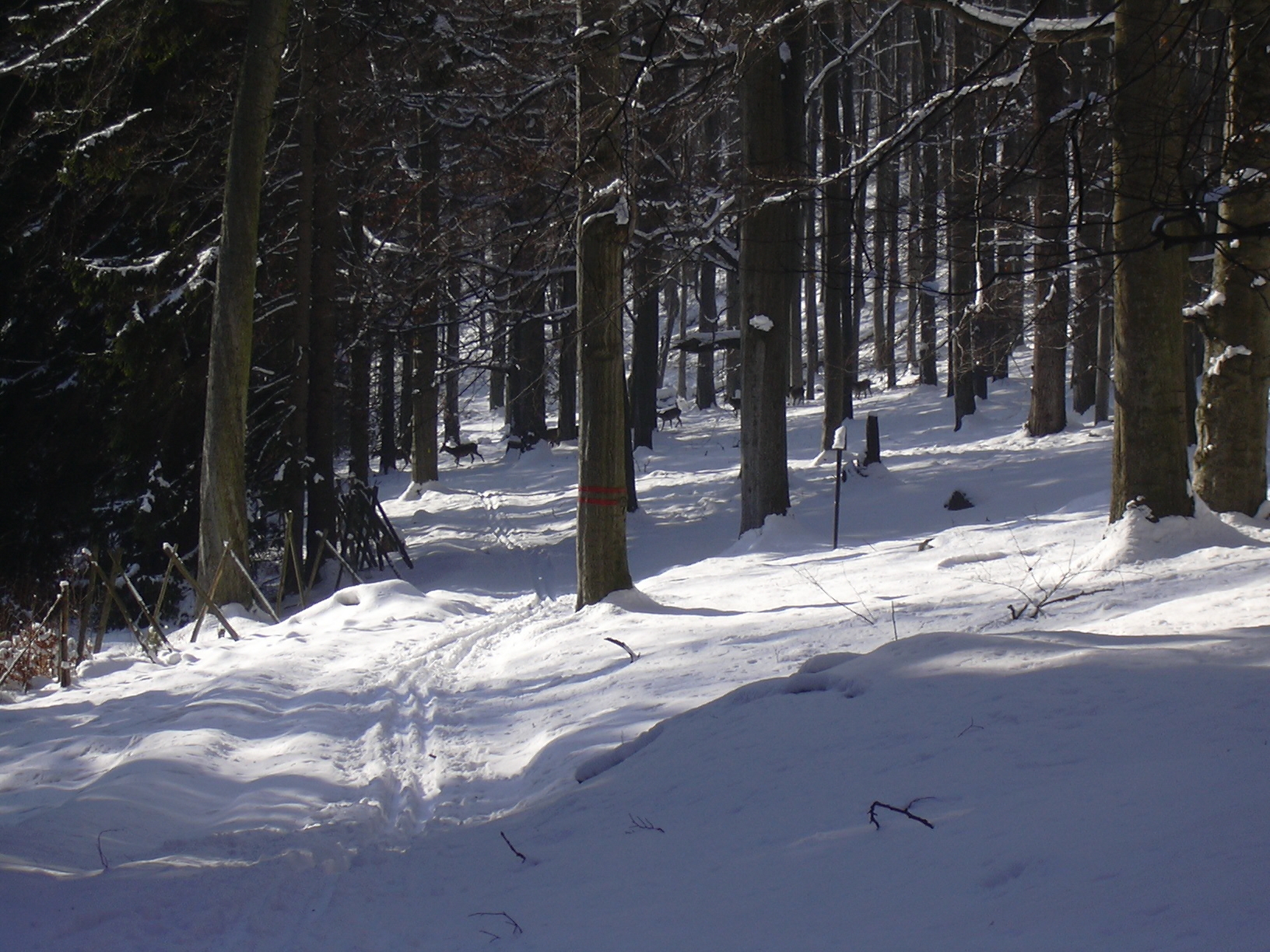
Spring and autumn are the most comfortable seasons, when the forest tracks are easy to walk and temperatures suit a longer hike. In summer, be ready for open, sun-exposed stretches where the old workings cleared the tree cover. Winter can make the forest roads harder going because of snow, but for well-prepared hikers that only adds to the appeal — near-total silence and no crowds at all.
Frequently asked questions
Is there a viewpoint at the top of Písek? Not in the traditional sense. The summit is occupied by an air traffic control radar tower, and the surrounding ground is forested. The draw here is the route and the site's history, not a panoramic view from the peak.
Where does the hill's name come from? From the quartz sand once mined on its slopes for the Příbram glassworks — Písek is simply the Czech word for "sand."
Is the area safe to walk, given its military past? Yes. Brdy was formally opened to hikers in 2016, once the military training district was dissolved and the Brdy Protected Landscape Area was established. It's still sensible to stick to marked tracks rather than wander off-path.
How long does the hike from Čenkov take? The straight-line distance is only about 2.3 km, but following the actual forest tracks there and back usually takes somewhere between 1.5 and 3 hours, depending on pace and the exact route chosen.
Nearby places

Earn badges for the places you visit
Download NextOnTrip, discover new places and check off your trails.