About this place
Phare de la Pointe de Saire is a small lighthouse in Réville, on the eastern coast of the Cotentin peninsula in Normandy, overlooking the approach to Saint-Vaast-la-Hougue. It stands at the tip of the low, rocky Pointe de Saire — also known locally as the Jonville point — and has guided ships past the shoals of this stretch of the English Channel for almost two centuries.
How do you get to Pointe de Saire?
Réville sits a few kilometres north of Saint-Vaast-la-Hougue, in the Manche department. The easiest way to reach the lighthouse is by car along the coastal lanes, followed by a short walk out to the point itself. The surrounding Val de Saire is flat, open countryside dotted with beaches and rocky shoreline, well suited to cycling or walking the coastal path (sentier des douaniers). It's a quiet, uncrowded corner of Normandy, and a convenient base for also visiting Saint-Vaast-la-Hougue and the island of Tatihou just offshore.
What will you see there?
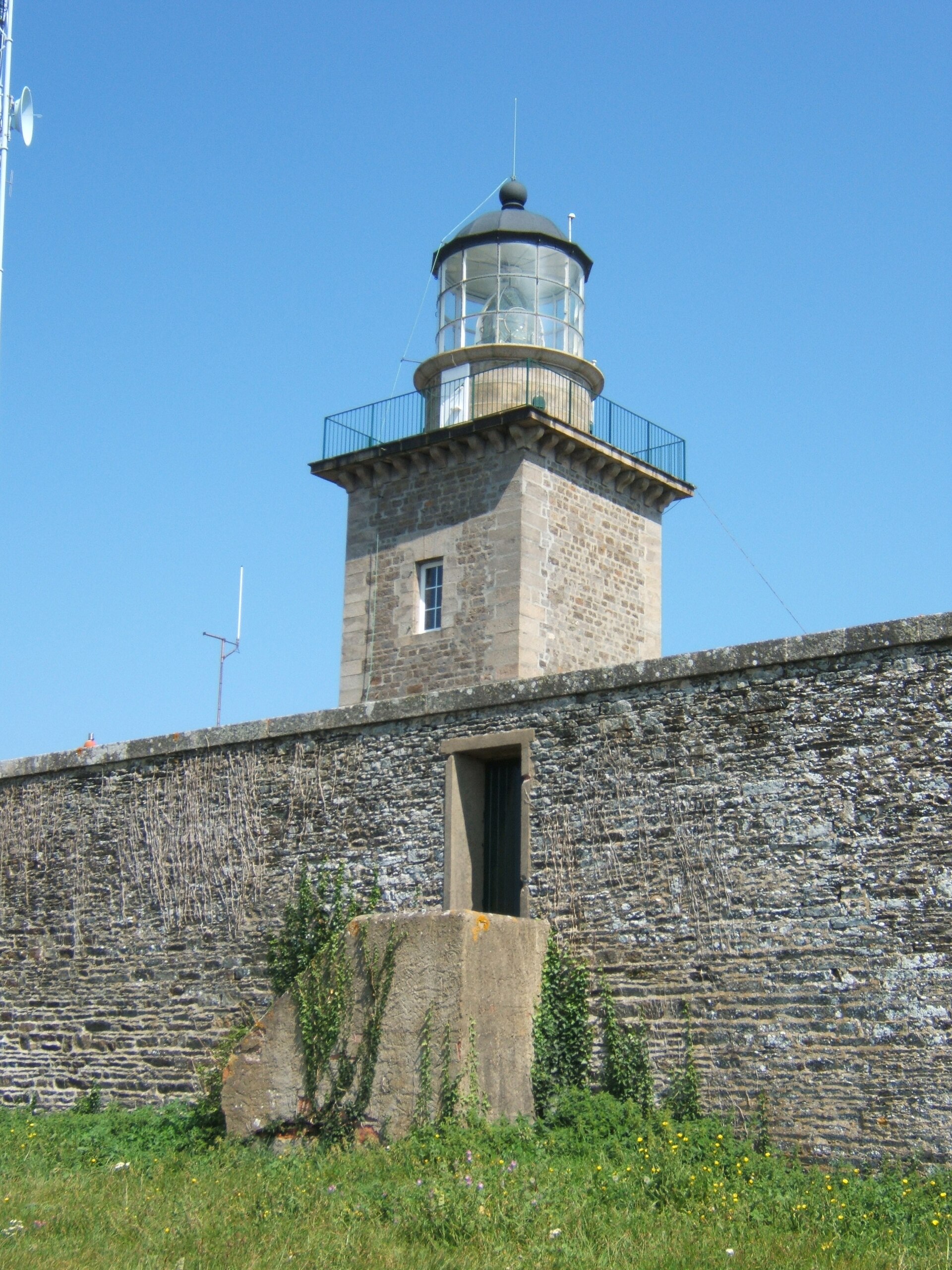
This is not a tall, freestanding tower like the region's famous lighthouses — the light sits in a square turret built into a residential house, the former keeper's dwelling. That combined design was common for smaller, local lighthouses in the 19th century, which needed to double as living quarters for the keeper. The lighthouse has been in service since 1 September 1836, guiding vessels into the roadstead (rade) of Saint-Vaast-la-Hougue and complementing the much taller Gatteville lighthouse further along the same coast. Its light was originally fixed and white; in 1935 it was modernised with an occulting characteristic and electrified, making it easier to identify at night and cheaper to run.
Close to the point, it's worth noting the older defensive structures scattered around Réville — a redoubt begun in 1689 under Louis XIV to guard the Cotentin against a possible English landing. It's a reminder that this now-peaceful stretch of coast has mattered strategically for centuries, first militarily, later for shipping safety.
The point itself is also a good spot to watch the sea, coastal birdlife, and the landscape typical of the Val de Saire: wide sand and rock flats exposed at low tide, oyster beds, and modest seaside village architecture.
When should you visit?
Low tide is the best time to come, when the broad sand-and-rock flats around the point are exposed — a defining sight along this part of Normandy's coast. Spring and summer bring the most stable weather and longest daylight, making it easy to combine the lighthouse with a coastal walk or bike ride and a stop in Saint-Vaast-la-Hougue. The lighthouse is a working navigation aid rather than a museum, so there's no interior visit — but the sight of the tower against the sea and sky is worth the trip on its own, especially at sunset.
Frequently asked questions
Can you go inside the lighthouse? No — it's an active maritime navigation aid built into a private house, and it isn't open for interior visits. You view it from outside, from the point or the nearby beach.
What does the lighthouse look like? It's a low, square tower built into a residential building rather than a tall, freestanding structure — which is why it's also known as the Jonville lighthouse, after the local name for the point.
What is the lighthouse for? It helps ships navigate safely into the roadstead of Saint-Vaast-la-Hougue, working alongside the larger Gatteville lighthouse and marking the shoals off Pointe de Saire.
What else is worth seeing nearby? Combine the visit with Saint-Vaast-la-Hougue, the island of Tatihou, and the remains of the 17th-century redoubt in Réville, built during the reign of Louis XIV.
Nearby places

Earn badges for the places you visit
Download NextOnTrip, discover new places and check off your trails.