About this place
Calblanque Regional Park is one of the last stretches of Mediterranean coastline in the Murcia region that has never been given over to tourist development. Located at the eastern end of the coast, between Cabo de Palos and Portmán within the municipality of Cartagena, the park covers a strip of rocky cliffs, golden beaches and dry, scrub-covered hills typical of the Mediterranean south-east.
What makes it ecologically important?
Calblanque is known for an unusually rich and singular flora. It is the only place in Europe where the Cartagena sabina (Tetraclinis articulata) grows in the wild — a conifer typical of North Africa that survives here as a relic of an earlier climate. Alongside it grow the Cartagena cypress and the Cartagena rock rose, an endangered species found almost nowhere else. These so-called Ibero-African relict species make the park one of the botanically most valuable protected areas in Spain.
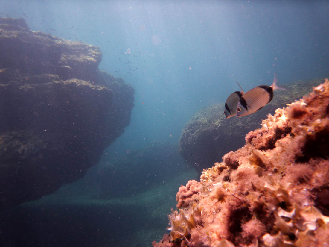
The fauna is equally notable. Coastal waters and saline pools are home to the fartet (Aphanius iberus), a small fish endemic to the Iberian Peninsula and classified as endangered. Birds of prey nest on the rocky cliffs, while the scrubland shelters natterjack toads and lizards, including the Iberian skink, endemic to south-eastern Spain. The park is also occasionally visited by loggerhead and spur-thighed tortoises, and by flamingos that stop over in the salt marshes.
Landscape — beaches, dunes and cliffs
The park's best-known spot is Playa de Calblanque, a wide beach roughly 300 metres long, backed by dunes and rock formations. Unlike many resorts along the Costa Cálida, this coastline has stayed wild: sand reaches almost to the scrubland, and fossil dunes, over 100,000 years old, bear witness to the area's long geological history. Beyond the main beach, the park hides smaller, harder-to-reach coves accessible only on foot, which has helped keep them free of mass tourism.
Further inland, the terrain rises toward the hills of Monte de las Cenizas and Peña del Águila — dry, rocky elevations covered in typical Mediterranean scrub, offering views over the coast and the sea.
What to do in the park
Calblanque offers three official, waymarked trails, part of the Spanish network of hiking paths, leading through different parts of the park — from the coast up into the hills. It is a popular destination for hiking, birdwatching and swimming, in places where car access is deliberately restricted to protect the fragile dune and salt-marsh ecosystems.
Frequently asked questions
Where exactly is Calblanque located? The park lies on the eastern coast of the Murcia region, between Cabo de Palos and the town of Portmán, within the municipality of Cartagena.
Can you drive directly to the beach? Car access is limited and regulated to protect the dunes and vegetation — in summer, visitors often need to walk in from designated car parks.
What sets this park apart from other protected areas in Spain? Above all, the presence of the Cartagena sabina, a species that grows naturally nowhere else in Europe, together with an unspoiled, undeveloped coastal landscape.
Is it worth a full day trip? Yes — the three waymarked trails connect the beaches, dunes and hills, making it easy to spend a full day hiking and relaxing by the water.
Nearby places

Earn badges for the places you visit
Download NextOnTrip, discover new places and check off your trails.