About this place
Josaphat Park
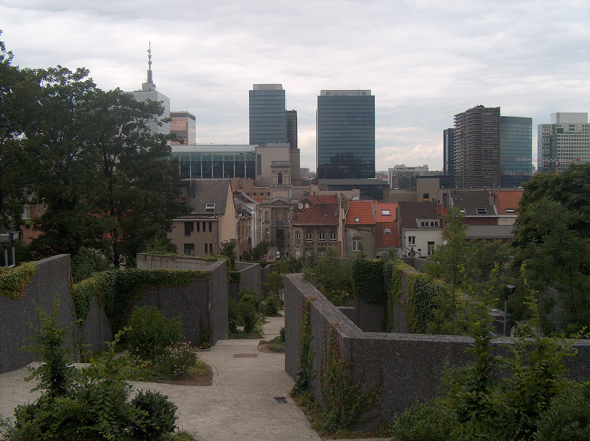
Josaphat Park is a large urban public park laid out in the English landscape style, located in the heart of Schaerbeek, one of the 19 municipalities of the Brussels-Capital Region. Covering roughly 20 hectares, it ranks among the more sizeable green spaces on this side of the city and serves as a clear geographic landmark for the surrounding neighbourhood.
Where exactly is the park located?
The park sits within a ring of major Schaerbeek streets that mark its boundaries: Chaussée de Haecht, Avenue Chazal, Boulevard Lambermont, Avenue Ernest Renan, Avenue du Suffrage Universel, Avenue Voltaire, Avenue des Azalées, and Avenue Général Eisenhower. Because these streets surround it on every side, the park is reachable from several directions at once — anyone walking along one of these avenues will eventually come across an entrance. Its approximate coordinates are 50.8625 N, 4.385 E, placing it in the north-eastern part of central Brussels.
Who designed Josaphat Park, and when?
The park was designed between 1901 and 1904 by landscape architect Edmond Galoppin. It was not conceived as an isolated green space but as part of a broader urban development project that also included the neighbouring Teniers-Josaphat district. In other words, the park was planned from the outset as an integral piece of Schaerbeek's expanding urban fabric at the turn of the 20th century, tied directly to the residential development growing up around it.
Why is it described as an "English-style" park?
The label "English-style" refers to the landscaping approach Edmond Galoppin used when laying out the grounds. Unlike the formal, symmetrical geometry typical of French-style gardens, the English style favours a looser, more naturalistic composition that works with the existing terrain rather than against it. Josaphat Park is described as hilly, and that undulating topography fits well within this tradition — the natural relief of the land plays an active role in how the park is composed and experienced, rather than being flattened into straight avenues.
How big is the park?
Josaphat Park covers an area of about 20 hectares. That is a substantial amount of green space for a densely built municipality like Schaerbeek, one of the 19 municipalities that together make up the Brussels-Capital Region.
Frequently asked questions
In which municipality is Josaphat Park located? The park lies in Schaerbeek (Schaarbeek), a municipality of the Brussels-Capital Region in Belgium.
Who designed the park? It was designed by landscape architect Edmond Galoppin between 1901 and 1904.
How large is the park? The park covers approximately 20 hectares.
Which streets border the park? The park is bordered by Chaussée de Haecht, Avenue Chazal, Boulevard Lambermont, Avenue Ernest Renan, Avenue du Suffrage Universel, Avenue Voltaire, Avenue des Azalées, and Avenue Général Eisenhower.
Was the park built as a stand-alone project? No — it was created as part of a larger urban project that also encompassed the Teniers-Josaphat district, linking the park's creation to the residential expansion of Schaerbeek around the turn of the 20th century.
Nearby places

Earn badges for the places you visit
Download NextOnTrip, discover new places and check off your trails.