About this place
Muralla de Las Palmas is a surviving fragment of the old city wall that once enclosed the historic center of Las Palmas de Gran Canaria. The remaining section stands next to Castillo de Mata and is one of the few physical traces of a period when this city on Gran Canaria was among the rare fully walled urban centers in the Canary Islands.
How did a walled city come about here?
Before the main fortifications were built, governor Diego de Melgarejo raised a primitive north wall sometime before 1578. This was part of a broader defensive system that included castles and towers constructed during the 16th century — among the first works of this kind built by the Spanish crown overseas. The push to expand these fortifications intensified after repeated threats from the sea, most notably the Dutch invasion of the city in 1599, which prompted authorities to strengthen defenses on both the coastal and inland sides.
What was the wall's layout?
What is known today as the Muralla de Las Palmas is a relic of the old North Wall. Its route started at the now-vanished Castillo de Santa Ana, near the Hermitage of San Pedro González Telmo, continued toward a gate leading to the Triana district, and then joined the Casamata — today's Castillo de Mata — from where it climbed along the cliff up to the Castillo de San Francisco, also known as the Castillo del Rey. Together, this formed a continuous defensive line designed to protect the city from both maritime and land-based attacks.
Why was this wall unusual for the Canary Islands?
Las Palmas de Gran Canaria was not only fortified with individual castles and towers — it was also fully enclosed by walls, a feature that was unusual among Canarian cities. Only a handful of other towns in the archipelago, such as Santa Cruz de Tenerife and Santa Cruz de La Palma, shared this trait. For centuries, beyond its military role, the wall also marked the boundary between the urban core and the surrounding rural land, enclosing the two central neighborhoods of Vegueta and Triana. This inner perimeter remained largely unchanged from the 16th century through the 19th, shaping the city's physical and administrative layout for generations.
What remains to see today?
Only a fragment of the original fortifications survives, located next to Castillo de Mata. It is a modest but telling reminder of an era when defense against seaborne attacks shaped the very layout of the city. For visitors exploring Las Palmas de Gran Canaria, this remnant offers a tangible way to understand the historic division between the walled interior and the areas that once lay beyond it.
Frequently asked questions
Where is the Muralla de Las Palmas located? The surviving fragment stands in Las Palmas de Gran Canaria, next to Castillo de Mata.
When was the city wall built? Work on the north wall began before 1578 under governor Diego de Melgarejo, with the wider defensive system expanded over subsequent decades of the 16th century, especially after the Dutch invasion of 1599.
What purpose did the wall serve besides defense? It marked the boundary between the city and the surrounding countryside, enclosing the Vegueta and Triana neighborhoods, a role it kept from the 16th to the 19th century.
Was Las Palmas the only walled city in the Canary Islands? No — Santa Cruz de Tenerife and Santa Cruz de La Palma were also fully walled, though such cities were rare across the archipelago.
Nearby places
-

Castillo de Mata
Las Palmas na wyspie Gran Canaria
-
Castle of San Francisco
Las Palmas na wyspie Gran Canaria
-
Triana
Las Palmas na wyspie Gran Canaria
-
Plaza de Cairasco
Las Palmas na wyspie Gran Canaria
-
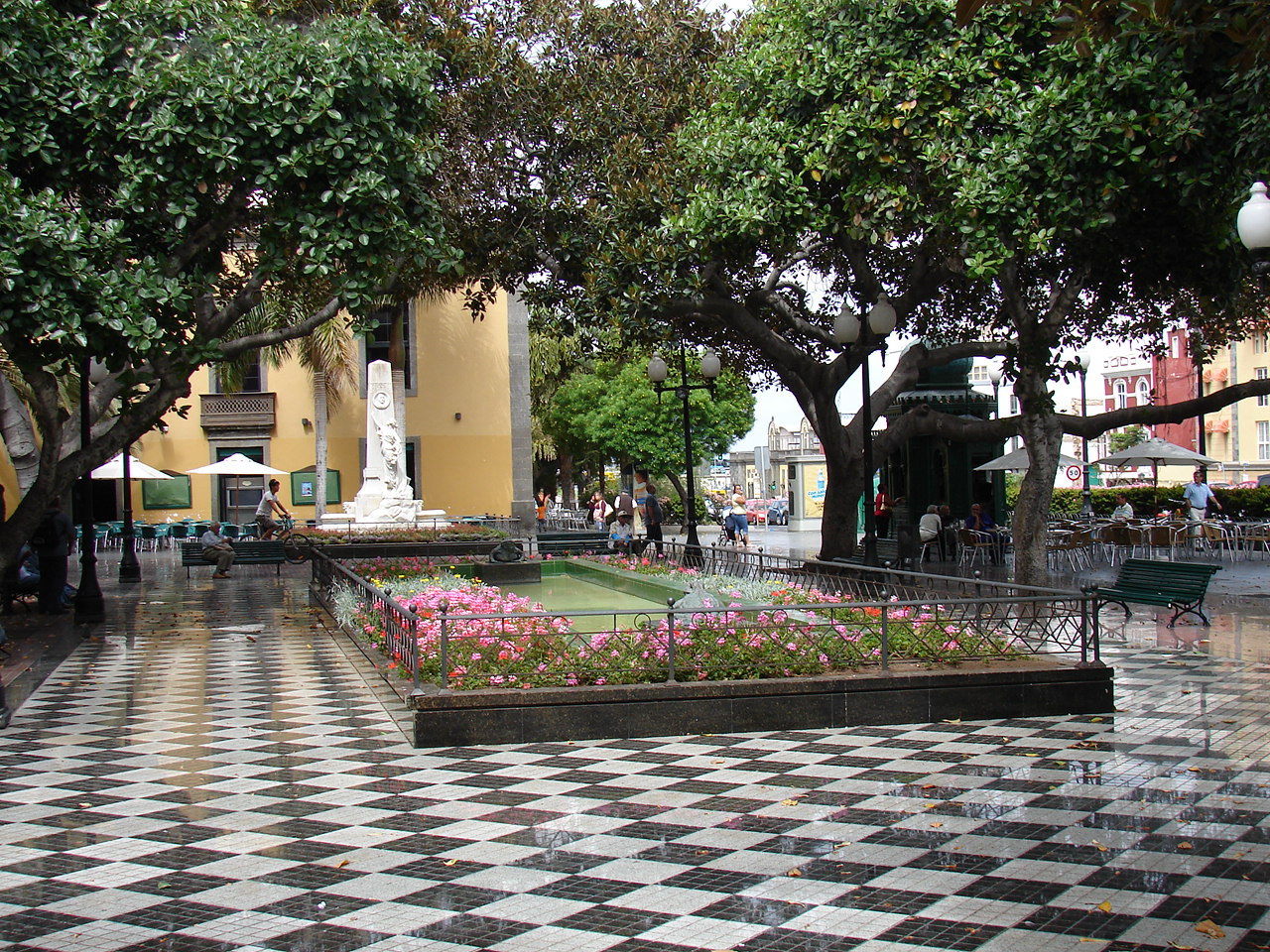
Plaza Hurtado de Mendoza
Las Palmas na wyspie Gran Canaria
-
Plaza de la Feria
Las Palmas na wyspie Gran Canaria
Earn badges for the places you visit
Download NextOnTrip, discover new places and check off your trails.