About this place
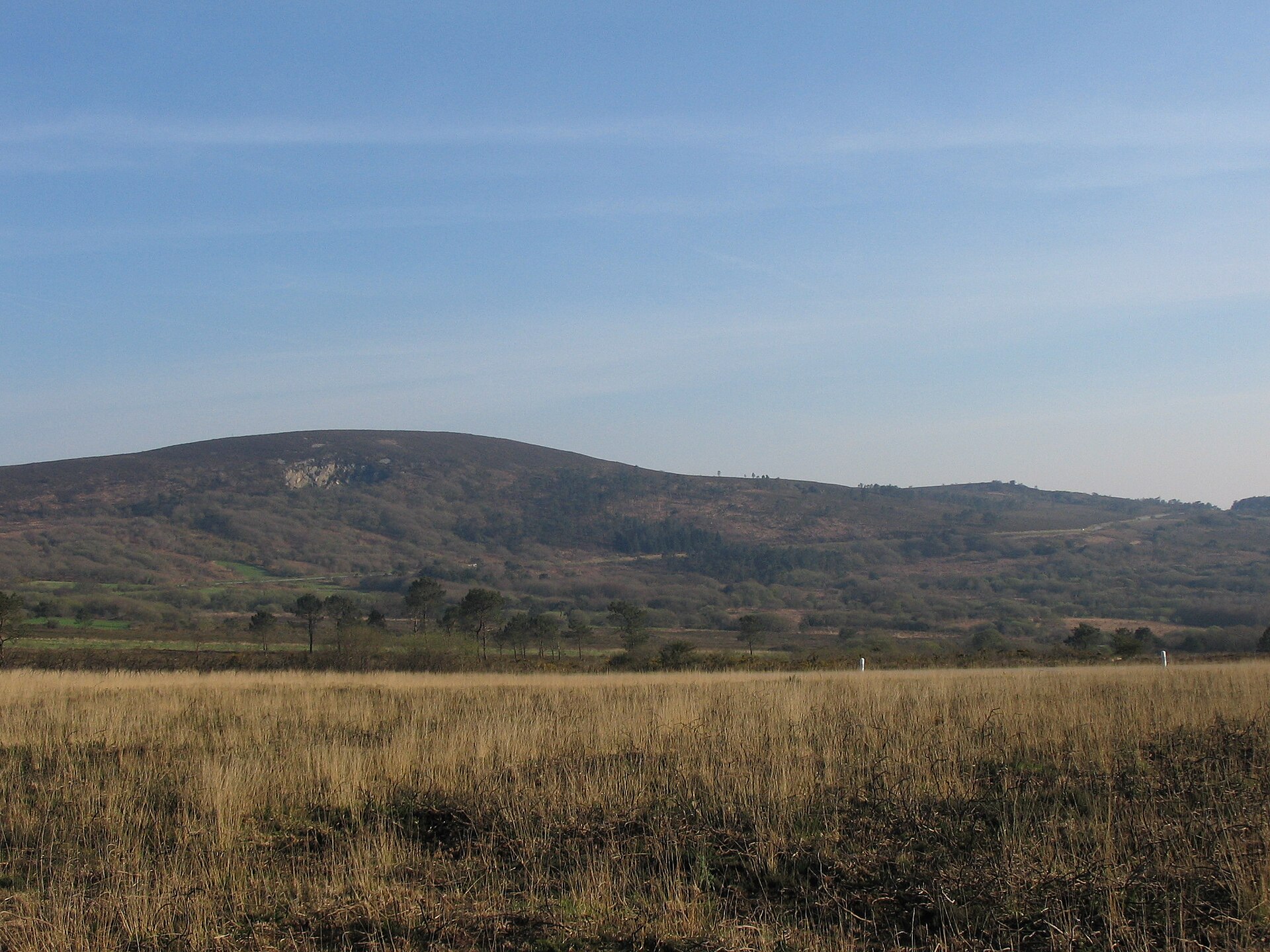
Monts d'Arrée rise above Plounéour-Ménez in the heart of Finistère, western Brittany, and rank among the oldest mountain formations in France. Known in Breton as Menezioù Are, the range forms part of the Armorican Massif, a vast geological formation that shaped the landscape of northwestern France long before the Alps or Pyrenees existed. For centuries the ridge line running through these hills marked the border between two historic Breton territories, Cornouaille and Léon, a divide still reflected in local place names and dialect differences between villages on either side of the crest.
How do you get to the Monts d'Arrée?
Plounéour-Ménez sits in central Finistère, between Morlaix and Huelgoat, making it a practical base for exploring the range. The nearest larger towns, Morlaix and Landivisiau, have rail connections to the rest of Brittany, from where a car or regional bus covers the remaining distance. Drivers can reach Plounéour-Ménez via departmental roads linking it to neighbouring communes such as Brasparts, Sizun and Commana, all of which sit at the foot of the range.
What will you see here?
The scenery differs sharply from Brittany's famous coastline: rolling hills, open moorland and weathered rock outcrops replace cliffs and beaches, a landscape that has long fed local legends about spirits and gateways to the otherworld. Millions of years of erosion have worn the range down to rounded ridges rather than sharp peaks, giving the area a raw, open character with long sightlines in every direction, something rare elsewhere in the region. Because the range once divided two historic territories, Plounéour-Ménez is often seen as a gateway into Brittany's interior, distinct from its seaside resorts.
Villages scattered around the range keep the low, compact stone building style typical of inland Finistère, shaped by centuries of exposure to open, windy terrain. It is this contrast between the raw upland scenery and the quiet, agricultural villages around it that gives the region its character, set apart from the rest of Brittany.
When is the best time to visit?
The exposed, treeless terrain means weather in the Monts d'Arrée can shift quickly at any time of year, so layered clothing is worth packing. Spring and summer bring longer days and easier access for walking routes across the moorland. Autumn and winter give the landscape a starker, wilder feel, which suits visitors looking to avoid crowds and the coastal tourist routes that dominate the rest of Brittany.
Frequently asked questions
Are the Monts d'Arrée real mountains? They belong to the Armorican Massif, one of France's oldest geological structures, now heavily eroded into gentle hills rather than the sharp peaks found in the Alps.
Where exactly is Plounéour-Ménez? It lies in the Finistère department of western Brittany, within the Monts d'Arrée range, on the historic border between Cornouaille and Léon.
Is the area good for hiking? Yes — the open, hilly moorland suits walking, though visitors should expect changeable, windy conditions typical of the range's higher ground.
What sets the Monts d'Arrée apart from the rest of Brittany? Unlike the coastline Brittany is best known for, this area is defined by inland hills and moorland that once formed a natural boundary between two historic territories.
Nearby places

Earn badges for the places you visit
Download NextOnTrip, discover new places and check off your trails.