About this place
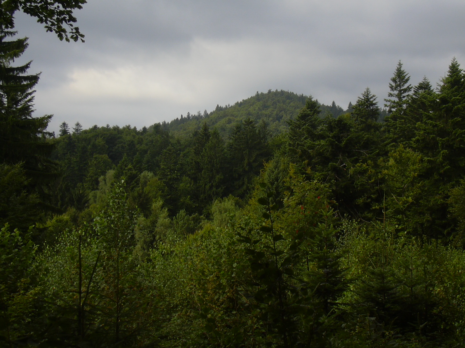
Makyta is a peak sitting right on the Czech-Slovak border, on the main ridge of the Javorníky mountains — part of the Western Carpathians that stretches along the frontier between Moravia and Slovakia. The village of Valašská Senice, on the Czech side, is one of the closest starting points for a hike toward the summit.
What makes Makyta noteworthy is its hydrographic role: this is exactly where the watershed divide runs between the Váh river basin (draining toward Slovakia and eventually the Danube) and the Morava river basin (draining the Czech side). For visitors with an interest in geography, it's one of those rare spots where the state border actually coincides with a natural boundary — the line separating two river systems.
How do you get to Makyta?
Most hikes start from Valašská Senice or one of the neighboring villages at the foot of the Javorníky on the Czech side. This is not a heavily touristed region, which means quieter trails and lighter foot traffic even in peak season. Driving to the village and continuing on foot or by bike along the forest paths leading up to the ridge is the most practical option for most visitors.
It's worth planning the route with the border in mind — since the summit sits directly on the frontier, part of the walk may already be on Slovak territory without any formal border crossing, the same way ridge trails work elsewhere in the Carpathians within the Schengen area.
What will you see along the way?
The Javorníky are a gently rolling, heavily forested range, dominated by beech and mixed woodland typical of the middle belt of the Western Carpathians. The ridge route around Makyta lets you take in the landscape on both sides at once: valleys sloping down toward the Váh on the Slovak side, and terrain draining toward the Morava on the Czech side. It's a classic borderland landscape — not built around a single dramatic viewpoint, but valuable simply for standing on the line between two watersheds and two countries.
For nature-minded visitors, the watershed itself is the real attraction: a spot where a raindrop falling a few meters to one side or the other ends up in a completely different river system, headed toward a different sea.
When should you visit?
The best conditions for hiking the Javorníky ridge run from late spring through early autumn, when forest trails are dry and easy to walk. Autumn, especially October, is particularly rewarding thanks to the color of the beech forests covering the slopes. Winter hiking is more demanding, since snow builds up and access roads to the starting villages aren't always cleared — it's worth checking local conditions before setting out.
Frequently asked questions
Is Makyta in the Czech Republic or Slovakia? The summit sits exactly on the Czech-Slovak border along the Javorníky ridge, so it technically touches both countries at once.
How long is the hike from Valašská Senice? It depends on the exact route chosen, but a ridge walk around Makyta is a typical few-hour outing, suitable for moderately experienced hikers.
Do you need any documents to cross the border on the trail? Within the Schengen area, walking across the border line on the ridge isn't checked, but it's still a good idea to carry ID, as on any trip through this region.
Is the area suitable for a family hike? Yes, as long as the route is matched to the youngest hikers' abilities — the gentle, forested character of the Javorníky is well suited to relaxed walking without extreme climbs.
Nearby places

Earn badges for the places you visit
Download NextOnTrip, discover new places and check off your trails.