About this place
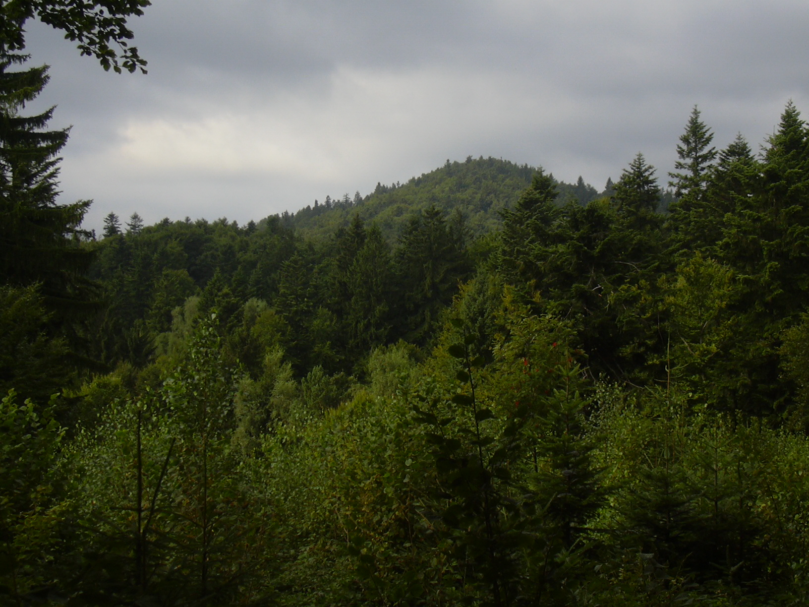
Klášťov is the highest point of the Vizovice Highlands (Vizovická vrchovina), rising to 753 metres above sea level on the boundary between the cadastral areas of Vysoké Pole and Bratřejov, in the Zlín district of eastern Moravia. Modest in altitude compared with the nearby Carpathians, it is nonetheless one of the most recognisable summits in the Vizovice region, overlooking a rolling, forested landscape once known as Valašsko.
Why does Klášťov matter historically?
The summit itself carries the local name "Zámčisko," a name that hints at what once stood there. During the Great Moravian period (8th–9th centuries), Klášťov served as a central stronghold for the whole of southern Valašsko — the highest-lying known site of prehistoric and early medieval fortifications in Moravia. Archaeological excavations carried out between 2005 and 2007 uncovered more than 700 iron artefacts on the hill: weapons, riding equipment and tools, dated from the late 8th century to roughly the mid-9th century. The scale of these finds points to just how strategically important this hilltop was in the pre-state and early state period on Moravian territory.
What is there to see at the top?
The summit's most striking feature is a rock formation known as Čertův kámen (the Devil's Stone), which marks the highest point of the hill. A spring can be found just below it. Further down the slope, hikers can also spot a flysch outcrop — layered sedimentary rock typical of the geology of the Outer Carpathians, a small but notable stop for anyone interested in field geology.
Where do the legends about devils and witches come from?
Klášťov has long been wrapped in folk tales. Local legends link the hill to devils and witches, which is exactly where the name of its summit rock comes from. For a long time the mysterious remains of the old hillfort added to that folklore, until archaeological research finally explained their origin.
How is the area set up for visitors?
A nature trail dedicated to Dr. Jiří Kohoutek, the archaeologist associated with research into the hillfort, runs across the hill, alongside the broader "Vizovické vrchy" trail network connecting the surrounding hills. Routes in the area combine scenic views with historical and natural-history education — information panels along the way cover both the story of the hillfort and the local nature of the Vizovice Highlands.
Frequently asked questions
How high is Klášťov? 753 metres above sea level, making it the highest point of the entire Vizovice Highlands.
Where exactly is it located? On the cadastral boundary between the villages of Vysoké Pole and Bratřejov, in the Zlín district of eastern Czechia.
What can you see at the summit? The Čertův kámen rock formation, a spring just below the top, and the remains of an early medieval hillfort from the Great Moravian period.
Is there an educational trail here? Yes — a nature trail dedicated to Dr. Jiří Kohoutek, plus the wider Vizovice Highlands trail network, both pass through the area.
Why does the hill have such a rich archaeological history? Because of its strategic position: during the Great Moravian era it functioned as a central defensive stronghold for southern Valašsko, as confirmed by numerous iron artefacts found there dating from the 8th and 9th centuries.
Nearby places

Earn badges for the places you visit
Download NextOnTrip, discover new places and check off your trails.