About this place
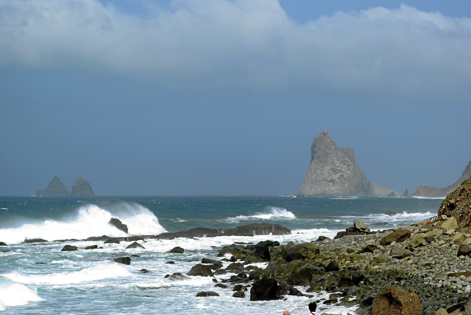
The Anaga Biosphere Reserve is a mountain range in the northeastern corner of Tenerife, one of Spain's Canary Islands, covering roughly 140 square kilometers. Geologically, the Anaga Massif is the oldest part of the island — its volcanic rock formed millions of years before the younger lava fields found in central and southern Tenerife. That age, combined with long exposure to erosion, produced the massif's signature terrain: jagged ridges, deep ravines, and cliffs that drop straight into the Atlantic Ocean.
Why is it called a biosphere reserve?
In 2015, UNESCO added Anaga to its list of global biosphere reserves, recognizing the area's outstanding value for biodiversity conservation. The designation reflects what grows here: one of the largest surviving stretches of laurel forest, or laurisilva, in the Canary Islands. Before the Ice Age, this type of subtropical forest covered much of southern Europe and the Mediterranean basin. Today it survives almost exclusively in the Canary Islands and Madeira, where the mild, moisture-laden trade winds allowed it to persist virtually unchanged for millions of years.
What makes the laurel forest so distinctive?
The vegetation of Anaga is effectively a living fossil. Tree and shrub species that vanished elsewhere on the planet still grow here in their natural habitat, kept alive by constant moisture carried inland from the ocean by the trade winds. That permanent humidity coats trunks and branches in moss and ferns, giving the forest an almost primeval, fairy-tale atmosphere. The same combination of stable climate and geographic isolation also encouraged the evolution of numerous endemic species — plants and animals found nowhere else on Earth.
What is the terrain like, and what can visitors do there?
The massif's landscape is demanding: steep slopes, narrow gorges, and winding ridgelines kept much of the region partly cut off from the rest of Tenerife for centuries, which in turn helped preserve its untouched character. Small villages scattered across the mountains still retain a rural, unhurried feel that contrasts sharply with the resort towns along Tenerife's southern coast.
A network of hiking trails winds through the forest and along the ridges, offering views over the ocean and neighboring valleys. Most routes are of moderate difficulty, typically ranging from a few kilometers to around ten kilometers, following forest paths rather than technical terrain. Some of the more remote, interior sections of the forest carry additional protection status, so it is worth checking current trail access and any restrictions before heading into the less-traveled parts of the reserve.
Frequently asked questions
Where exactly is Anaga located? In the northeastern tip of Tenerife, close to Santa Cruz de Tenerife, the island's capital.
How is it different from the rest of Tenerife? It is the island's geologically oldest region, with a cooler, more humid microclimate that supports laurel forest — an ecosystem absent from the drier, more volcanic landscapes of central and southern Tenerife.
Can you visit and hike there freely? Yes, the reserve has an extensive network of marked trails, though it is worth confirming current signage and any access limits for the most isolated forest sections beforehand.
Why is Anaga worth visiting? It offers a rare chance to walk through an ecosystem that disappeared from most of Europe millions of years ago — a striking combination of mountain scenery, ocean views, and a forest that feels like a window into a much older geological era.
Nearby places

Earn badges for the places you visit
Download NextOnTrip, discover new places and check off your trails.