Save this place and discover nearby attractions with NextOnTrip
In the app you can add it to your favorites, see what else is worth visiting nearby on the map, and earn a badge for your visit.
The app is available for iPhone and Android.
About this place
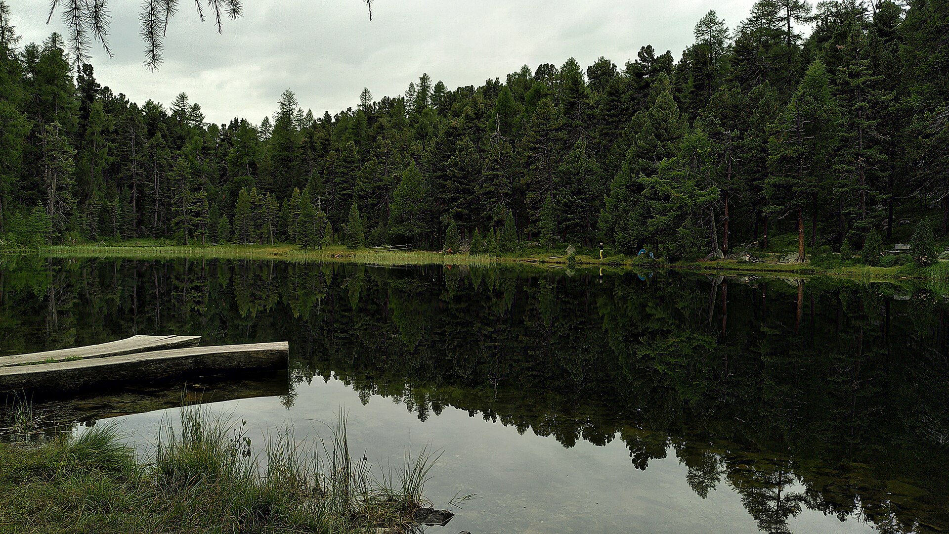
Lej da la Tscheppa (German: Tscheppasee) is a small alpine lake high above Sils im Engadin/Segl, in the Upper Engadine of the canton of Graubünden, Switzerland. It sits at roughly 2,600 m (2,616 m is the figure most often quoted) and covers just under 8 hectares. The name is Romansh, in the Puter dialect of the Engadine. It rewards walkers who prefer a quiet, rocky setting to the busier paths around Lake Sils.
Where is it and how did it form?
The lake lies above Sils Maria, on the side of the Corvatsch massif and Piz Polaschin. Until recently it received meltwater from the Crasta-Tscheppa glacier, which disappeared in 2003, so the spot is a vivid example of Alpine glacier retreat. The maximum depth is about 32 m.
How do you get there?
The usual route starts in Sils near the lakeshore beach on Lake Sils. The ascent takes around 2.5 hours on a steep zigzagging path, with about 900 m of climbing in total. The full circuit from Sils to the lake and back is about 11.6 km, and official listings give around 5 hours 20 minutes. It is graded as demanding and suited to experienced hikers.
Alternatively, continue over the Muttaun area down to Silvaplana, which takes about 2 hours. You then return to Sils by bus.
What will you see?
Boulder fields and scree slopes of Piz Polaschin frame the water. Chamois are often spotted on the slopes, and with luck you may see a ptarmigan. The soundtrack is mostly wind and wildlife. There are no facilities by the lake, so carry your own water and food.
When should you go?
The trail is open in summer and early autumn, roughly July to October. Earlier in the season snow often lingers above 2,500 m. Start in the morning to stay clear of afternoon thunderstorms, which are common in the Alps in summer. Hiking boots and poles help on the steep terrain.
Frequently asked questions
How high is Lej da la Tscheppa? About 2,600 m above sea level. Sources give 2,616 m, and some trail listings say 2,622 m.
How long is the climb from Sils? The ascent alone takes about 2.5 hours; the whole loop takes around 5 hours 20 minutes.
Is the hike easy? No. It is long and steep, so it suits people with mountain experience and good fitness.
Is there a mountain hut at the lake? No. Bring supplies from Sils or Silvaplana.
Nearby places

Earn badges for the places you visit
Download NextOnTrip, discover new places and check off your trails.