Save this place and discover nearby attractions with NextOnTrip
In the app you can add it to your favorites, see what else is worth visiting nearby on the map, and earn a badge for your visit.
The app is available for iPhone and Android.
About this place
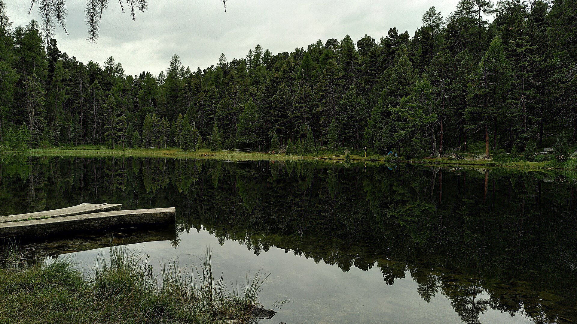
Lej da Champfèr (Champfèrersee) is a lake in the Upper Engadin, canton of Graubünden, Switzerland. It lies between the village of Champfèr and Silvaplana, right beside the hamlet of Surlej, on the valley's lake plateau at roughly 1,800 m above sea level.
Where is Lake Champfèr?
The lake belongs to the chain of Upper Engadin lakes between St. Moritz and Silvaplana. A narrow neck joins it to the larger Lake Silvaplana, which drains into it. Do not confuse it with Silvaplanersee (Lej da Silvaplauna), a separate and larger body of water further up the valley. The village of Champfèr itself is split between two municipalities, Silvaplana in the west and St. Moritz, with the Ova da Suvretta creek forming the boundary. The lake's coordinates are about 46.467° N, 9.803° E.
How do you get there and where do you park?
Start from Surlej or Silvaplana. Parking is available at the Surlej bridge or in the Munterots car park in Silvaplana. Buses run along the valley from St. Moritz, so a car is optional.
What can you do in summer?
A footpath circles the lake and takes about 1 hour 15 minutes at a relaxed pace. A longer loop begins at the Surlej bridge, follows the shore and returns via Crest'Alta; it covers roughly 4.9 km and takes about 1 hour 25 minutes. Views take in Piz Corvatsch and Piz da la Margna, and the walk fits easily into the wider lake trail between St. Moritz and Maloja.
Is it worth visiting in winter?
In winter the shore is part of a network of walking and running routes. One round trip of about 9.9 km, around 1 hour 10 minutes, leaves the cross-country centre in St. Moritz, passes the Olympic ski jump to the small Lej Marsch, crosses over Lej da Champfèr and returns via Lej Nair. Crossing the frozen lake is only an option when the route is marked and groomed. Away from a marked trail the ice is not safe.
When should you come?
Summer and early autumn suit easy walks with mountain views. Winter offers groomed paths when conditions allow. Check trail status with the Engadin St. Moritz tourist office before setting out in the cold season.
Frequently asked questions
Is Lej da Champfèr the same as Silvaplanersee?
No. They are two separate lakes joined at a narrow point. Champfèr lies closer to St. Moritz and receives the outflow of Silvaplana.
How long does the walk around the lake take?
About 1 hour 15 minutes at an easy pace. The Crest'Alta variant from the Surlej bridge takes around 1 hour 25 minutes.
Where can I leave my car?
At the Surlej bridge or the Munterots car park in Silvaplana.
Can I walk on the frozen lake?
Only on marked and groomed winter trails, and only when conditions permit.
Nearby places

Earn badges for the places you visit
Download NextOnTrip, discover new places and check off your trails.