About this place
Laguna volcánica de Michos is a volcanic crater lake near Abenójar, in the province of Ciudad Real, in the Castilla-La Mancha region of Spain. It stands out as one of the clearest remnants of past volcanic activity in central Spain and is now protected as a natural monument.
How did this lake form?
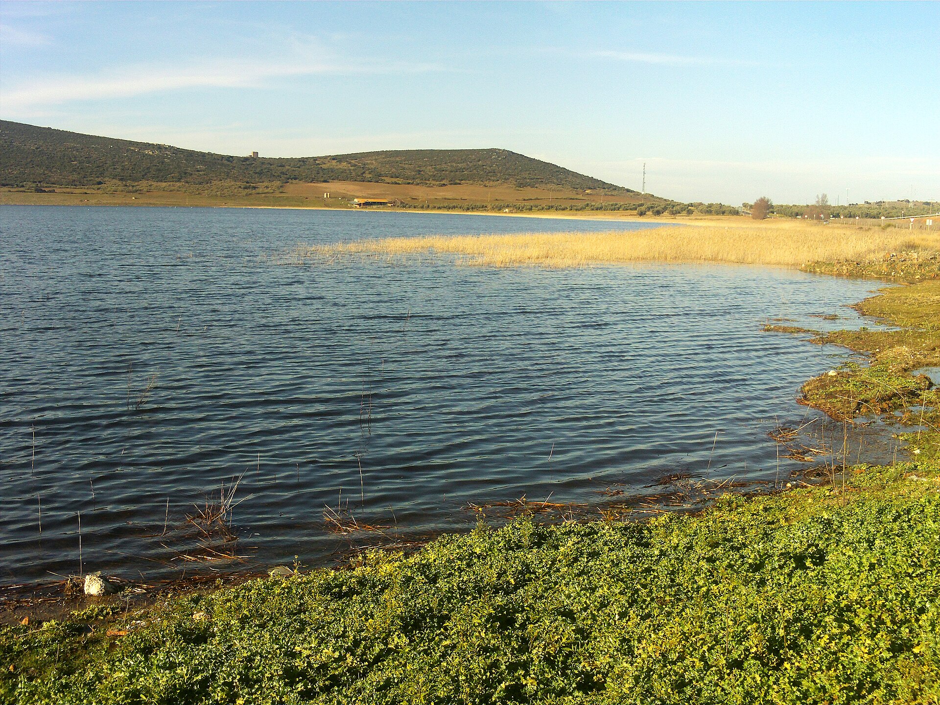
Michos is a maar — a crater created by a violent phreatomagmatic explosion, when rising magma met underground water and produced a powerful steam-driven blast. The eruption carved out an almost perfectly circular depression with a circumference of roughly 1,570 meters, a diameter reaching 800 meters, and a depth of about 30 meters. A seasonal lagoon now sits at the bottom, filling and emptying depending on rainfall throughout the year.
The site forms part of a wider area of community importance covering rivers of the middle Guadiana basin and the surrounding slopes, which highlights the ecological value of the entire complex, not just the crater itself.
How do you get there?
The lagoon lies close to Abenójar, a small town in Ciudad Real province. The easiest way to reach it is by car, following local roads to a parking area where a short walk leads up to viewpoints overlooking the crater. Entry is free, and the path is easy enough for most visitors, including families with children.
It's worth allowing extra time for the visit, since the surrounding area has little tourist infrastructure — part of what makes the spot appealing is exactly this raw, low-key character.
What will you see there?
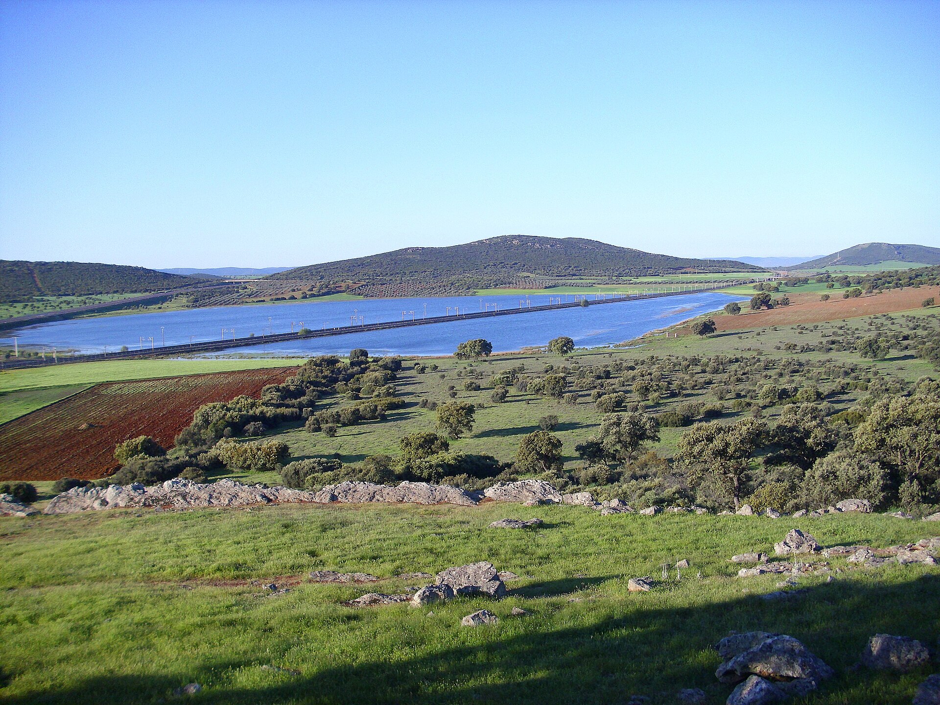
The lake sits within a ring of quartzite hills bordering the Abenójar plain. The crater's slopes are covered in scrubland and holm oak woods typical of Mediterranean vegetation, with dense thickets alternating with open, rocky stretches.
The area also shelters valuable wildlife: the surrounding oak forests are home to the Iberian lynx, one of Europe's rarest predators, while golden eagles can often be seen circling above the crater in search of prey. The view from the rim down onto the near-perfect circle of water, when present, is one of the most distinctive sights in the region — the geometric shape of the volcanic depression against the wild landscape around it makes an impression at any time of year.
When is the best time to visit?
Spring and rainy autumns are the best times to visit, since that's when the crater fills with water and the lagoon shows itself at its fullest. During drier periods, especially summer, the crater floor can be partly or completely dry — still worth seeing for the scale and shape of the geological formation, even without the striking water surface.
Because the site sits well inland, it's worth checking the weather forecast before setting out. Cooler seasons also tend to be better for spotting birds of prey circling overhead.
Frequently Asked Questions
Is entry to the lagoon free? Yes, access to the Laguna volcánica de Michos natural monument is free and open to the public.
Does the lake hold water year-round? Not always — water levels depend on rainfall. The lagoon is fullest in spring and after a rainy autumn, while the crater floor can dry out in summer.
How large is the crater? Its circumference is about 1,570 meters, its diameter reaches up to 800 meters, and the depth of the depression is around 30 meters.
Can you spot wildlife in the area? Yes, the site borders habitat used by the Iberian lynx and is a hunting ground for golden eagles, making it worthwhile for nature lovers as well as hikers.
Nearby places

Earn badges for the places you visit
Download NextOnTrip, discover new places and check off your trails.