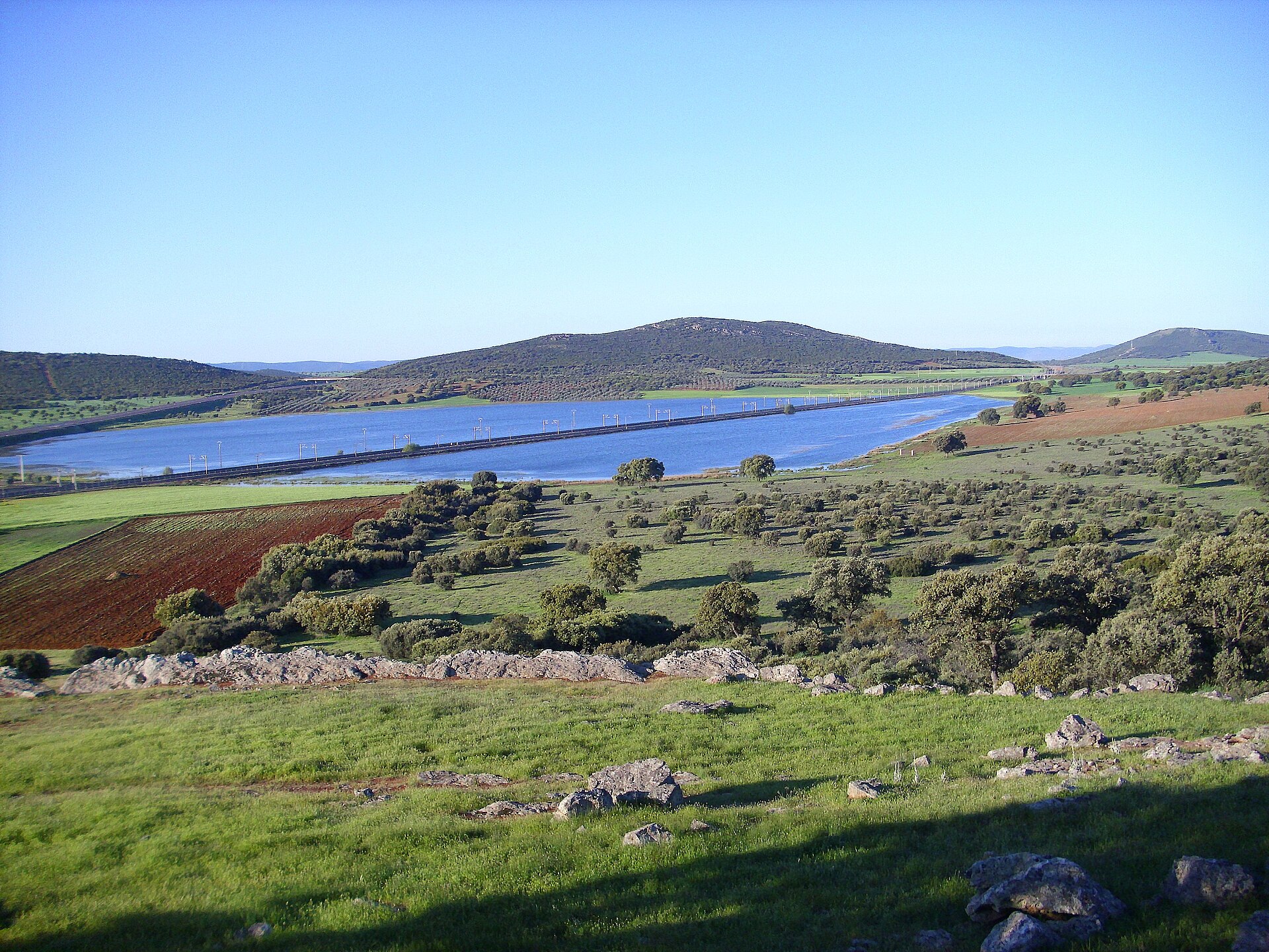
About this place
Laguna de Cañada de Calatrava is a small volcanic lake within the municipality of Corral de Calatrava, in the province of Ciudad Real, Castile-La Mancha. It sits inside Campo de Calatrava, one of the three most significant zones of recent volcanic activity on the Iberian Peninsula.
Where exactly is this lagoon?
Corral de Calatrava is a small village of roughly 1,150 to 1,270 residents, about 18 km from Ciudad Real, the provincial capital. The municipality covers over 148 km², most of it stretching across a volcanic field whose activity died out millions of years ago. The lagoon lies among gentle hills and farmland typical of this part of La Mancha, a quiet rural landscape rather than a marked tourist site.
How did a volcanic lagoon form here?
The lagoon belongs to a group of features known as maars — craters produced by violent hydromagmatic eruptions, when rising magma met underground water and triggered an explosive reaction. The resulting crater later filled with water, forming a shallow, seasonal lake. Campo de Calatrava as a whole contains several hundred such volcanic structures — craters, lava domes and maars — spread across roughly 5,000 km². Corral de Calatrava is one of the municipalities that has put forward its volcanoes and geosites, including Laguna de Cañada, as part of the proposed Calatrava Volcanoes Geopark.
What else is worth seeing nearby?
Within the same municipality stands the Peñarroya Volcano and Lagoon, protected as a Natural Monument and one of the most recognizable volcanic landscapes in the region. The wider network of volcanic lagoons across Campo de Calatrava — spanning municipalities such as Corral de Calatrava, Cañada de Calatrava, Abenójar and Caracuel de Calatrava — falls under Natura 2000 protection for its value to waterbirds and seasonally flooded habitats. It's worth pairing a visit to the lagoon with a drive through the surrounding villages, where farmland alternates with traces of past eruptions: basalt quarries, rounded volcanic hills, and dark, mineral-rich soil.
When is the best time to visit?
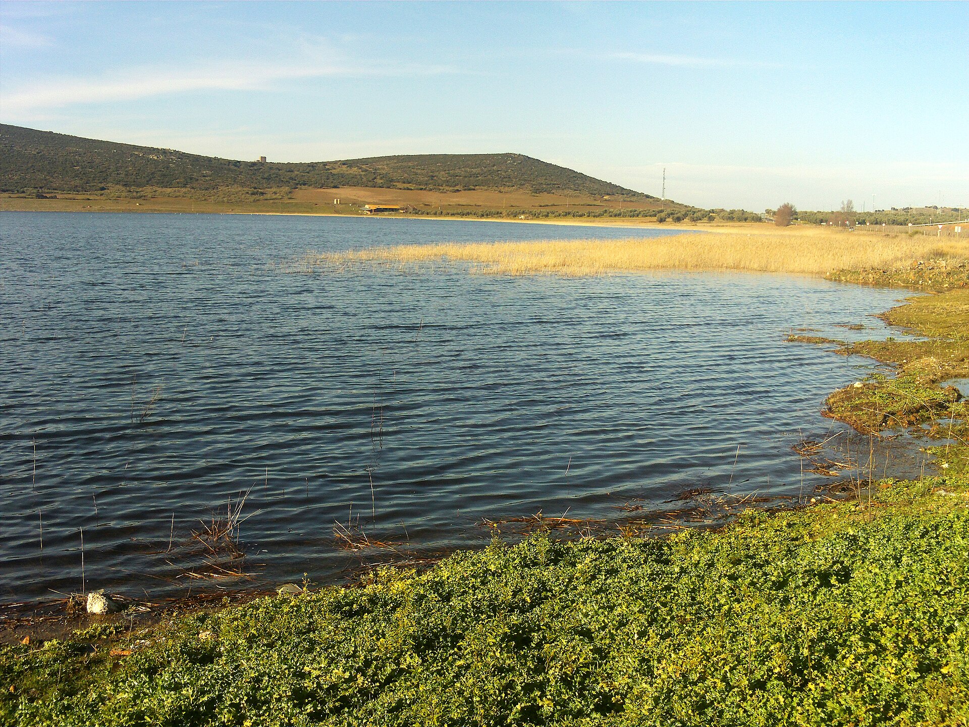
The lagoons of Campo de Calatrava are seasonal, and their water levels depend heavily on rainfall. Water is usually at its highest, and the surrounding vegetation greenest, in spring following a wet winter, when waterbirds are more likely to be seen. In summer, under the dry, hot climate typical of inland Spain, many of these lagoons shrink or dry out completely, leaving a cracked, exposed lakebed.
How do you get there?
Corral de Calatrava is connected by local roads to Ciudad Real, and the easiest way to reach it is by car — the drive usually takes around 20 to 25 minutes. It makes for a convenient side trip for anyone already staying in the provincial capital and wanting to explore the volcanic countryside of Campo de Calatrava.
Frequently Asked Questions
What is Laguna de Cañada de Calatrava? It's a small, seasonal volcanic lake — a maar — located within the municipality of Corral de Calatrava, formed by an ancient hydromagmatic eruption.
Is the lagoon a protected area? The volcanic lagoons of Campo de Calatrava, including this one, form part of a Natura 2000 protected area valued for its seasonal wetland habitats.
Does the lagoon hold water all year round? Not always — water levels shift with rainfall and season; the lagoon tends to be fuller in spring and can dry out partly or fully in summer.
What else can I see close by? The Peñarroya Volcano and Lagoon, a designated Natural Monument, lies within the same municipality and is one of the best-known volcanic landmarks in the Campo de Calatrava area.
Nearby places

Earn badges for the places you visit
Download NextOnTrip, discover new places and check off your trails.