About this place
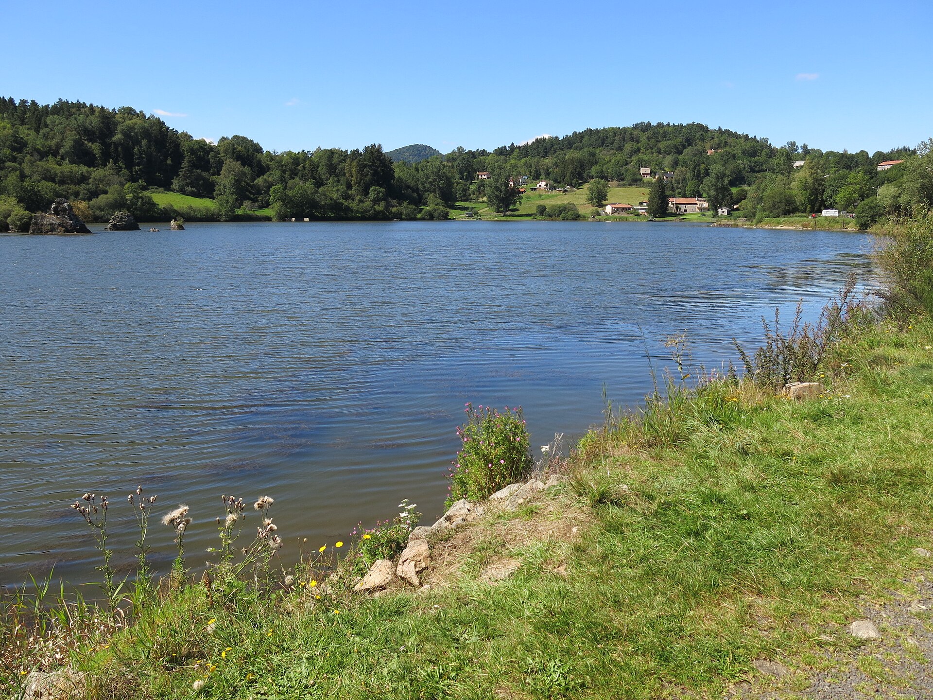
Lac de Montcineyre is a crescent-shaped volcanic lake sitting at 1,182 metres above sea level in the commune of Compains, in the Puy-de-Dôme department of Auvergne. Formed by the eruption of the nearby Puy de Montcineyre volcano, it is one of the most distinctive bodies of water in the Chaîne des Puys — protected, quiet, and ringed by beech woodland.
Where does the name come from and how did the lake form?
The name Montcineyre traces back to the Latin "Mont Cineris," meaning "mountain of ash" — a direct reference to the site's volcanic past. Puy de Montcineyre is one of the youngest volcanoes in the Chaîne des Puys chain, estimated at under 6,000 years old, making it a geologically "fresh" feature on the Auvergne landscape.
The eruption was unusually violent because rising magma made contact with groundwater. This contact, known as phreatomagmatism, triggered a powerful thermal shock and an explosive eruptive style. Evidence survives at the base of the volcanic cone as distinctive "cauliflower" volcanic bombs with a lobed, textured surface. Ash from the eruption has even turned up in peat bogs near Picherande and Chastreix, more than 10 kilometres from the crater — a sign of how forceful the event was.
Lava and pyroclastic material blocked the outflow of a pre-existing depression of glacial origin. Water backed up behind this natural dam, creating a lake that took on a crescent shape mirroring the curve of the volcanic cone itself.
How big is the lake, and what surrounds it?
Lac de Montcineyre covers roughly 40 hectares and reaches a depth of somewhere between fifteen and twenty metres. Sitting at 1,182 metres, it is bordered by beech forest, giving the setting a distinctly calm, upland-woodland character. Its coordinates are approximately 45.467°N, 2.9°E.
The land around the lake is protected for its natural value. That is one reason the area has kept its untouched character — no buildings, no beach facilities, just dense old-growth forest running almost down to the waterline.
Can you swim, fish, or paddle here?
No. Lac de Montcineyre serves as a drinking water reserve, which is why swimming, fishing, and any form of boating or paddling — kayaks, canoes, paddleboards — are strictly forbidden. The lake helps supply water to the Issoire area and the southern suburbs of Clermont-Ferrand, though in practice it acts as a backup source alongside the region's other water intakes. Because of this role, water quality and minimal human interference with the ecosystem are a priority for local authorities, and the restrictions are enforced strictly.
For visitors, the takeaway is simple: Montcineyre is a place to look at and walk around, not for water-based recreation.
What else is worth seeing nearby?
Despite the ban on entering the water, the lake draws visitors for its views. From its shores and from the slopes of the nearby Puy de Montcineyre, there is a wide panorama over the Sancy massif — under the right light, the summit of Puy de Sancy is said to reflect on the water's surface, producing one of the more photogenic scenes in the region. Marked hiking trails circle the lake and can be combined with longer routes, including one heading toward Puy du Montchal.
Access is via the village of Compains, roughly 55 kilometres from Clermont-Ferrand. Parking for visitors is available along the D8 departmental road.
Frequently asked questions
Can you swim in Lac de Montcineyre? No — the lake is a drinking water reserve, and swimming, fishing, and any form of paddling are completely forbidden.
How did the lake form? It formed after the eruption of the Puy de Montcineyre volcano less than 6,000 years ago, when lava and volcanic debris blocked the outflow of a pre-existing glacial depression.
How do you get to the lake? Via the commune of Compains, about 55 km from Clermont-Ferrand, with parking along the D8 road.
What can you see from the shore? A panorama of the Sancy massif, and, in good light, the reflection of the Puy de Sancy summit on the water.
How large and deep is the lake? About 40 hectares in surface area, with a depth of roughly fifteen to twenty metres, at an altitude of 1,182 metres.
Nearby places

Earn badges for the places you visit
Download NextOnTrip, discover new places and check off your trails.