About this place
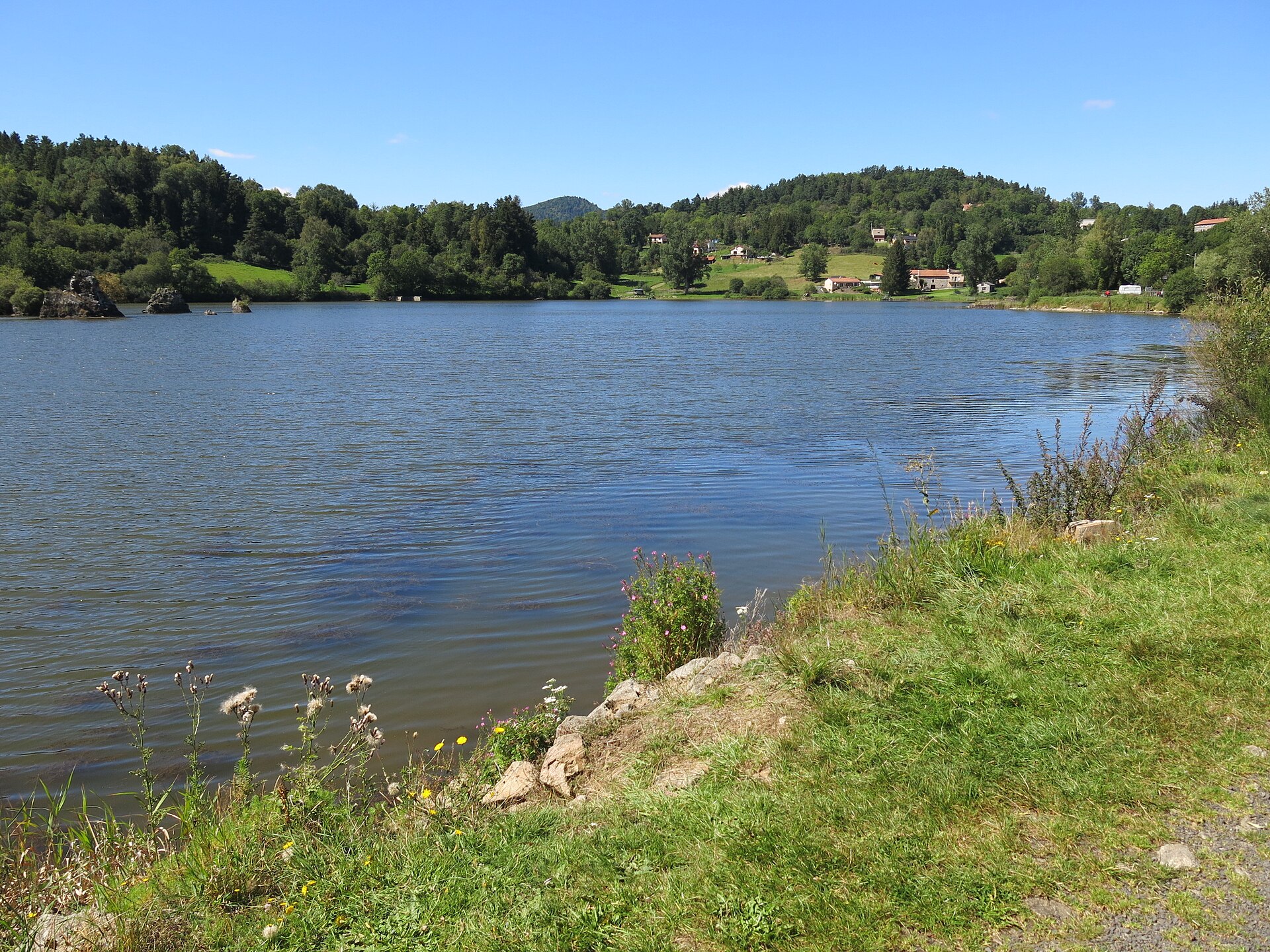
Lac de Bourdouze is a small glacial lake in the commune of Besse-et-Saint-Anastaise, in the Puy-de-Dôme department of the Auvergne region. Sitting at around 1,150 metres above sea level in the Mont-Dore massif, it lies close to Puy de Sancy, the highest peak in Auvergne and in the entire Massif Central. The combination of volcanic scenery and a rare peat-bog habitat makes it one of the more distinctive stops for hikers exploring the Sancy area.
How old is the lake, and how did it form?
The lake dates back roughly 12,000 years, shaped as glaciers retreated from the region at the end of the last ice age. That glacial history is still visible on the ground: paths in the area cross a series of small, half-moon-shaped hollows and glacial cirques before reaching the Valbeleix plateau, which sits at a comparable altitude. The lake itself covers about 25 hectares and reaches a maximum depth of only 4 metres, making it a shallow but fairly wide body of water. A large part of its surface has since turned into peat bog, giving the area its marshy character and earning it protection as part of the Natura 2000 network.
What wildlife lives here?
The peat bog surrounding Bourdouze supports a notably rich mix of species. Great crested grebes can be spotted on the water, common frogs breed in the shallows, and dragonflies — including the black darter — are common around the reeds. Because the habitat is fragile, visitors are asked to stay on marked paths, avoid picking plants, and not disturb the wildlife. The site is jointly managed by a private landowner, a local farmer who grazes the surrounding meadows, and a fishing association, and access remains free for everyone.
What can visitors do at the lake?
Bourdouze draws both walkers and anglers. A designated fishing spot sits right on the shore, open to members of the local angling association. Because peat bogs cover part of the shoreline, there is no path circling the entire lake — walkers head out along one section and turn back rather than completing a loop. Swimming is not permitted. Hikers looking for a longer outing can extend the walk toward the nearby Lac de Montcineyre and the hamlet of Lignerolles, forming a loop of around 17 to 18 kilometres that takes five to six hours to complete.
How do you get there?
From Besse-et-Saint-Anastaise, take the D36 road toward Compains for about 7 kilometres; the lake is signposted and visible on the left-hand side. A car park sits right on the D36, from which an easy round trip of about an hour leads down to the water and back — a walk suitable for most fitness levels without special preparation.
Frequently asked questions
Can you swim in Lac de Bourdouze? No. Swimming is prohibited here to protect the peat bog and the fragile ecosystem surrounding the lake.
Is there a trail that goes all the way around the lake? No. The peat bogs along parts of the shore make a full loop impossible, so the standard walk is an out-and-back route rather than a circuit.
How close is it to Puy de Sancy? The lake sits within the same Mont-Dore massif as Puy de Sancy, Auvergne's highest summit, though reaching the peak itself requires a separate drive or hike.
Can you fish at the lake? Yes, there is a designated fishing spot managed by the local angling association.
Nearby places

Earn badges for the places you visit
Download NextOnTrip, discover new places and check off your trails.