About this place
Phare de Goury, also called La Hague lighthouse, rises from a rocky islet less than 800 metres off the shore of Auderville, at the very tip of the La Hague peninsula in Normandy. It's one of the most photographed spots on the Cotentin coast — not because visitors can go inside, but because the place it guards is one of the wildest stretches of the French shoreline.
Where exactly does it stand?
The tower watches over the Raz Blanchard, the strait between Cap de la Hague and the British island of Alderney, considered one of the strongest tidal currents in Europe. It was precisely this brutal stretch of water that led to the lighthouse being built in the first place: before its construction, 27 ships had wrecked along this coast in a single year. Engineer Morice de La Rue designed the tower, which took three years to build — work began in 1834 and the light entered service in 1837.
How do you get there?
The starting point is the village of Auderville (postcode 50440), from which a road leads down to the small harbour of Goury. From the quay and the surrounding rocks, the lighthouse is fully visible, even though the tower itself stands on a separate rock cut off from the mainland by water. By car, plug Auderville into Google Maps or Waze — the final stretch runs along narrow, winding roads typical of this far corner of the Cotentin. This is the westernmost tip of Normandy, so allow roughly 30 minutes' drive from Cherbourg.
What will you see on site?
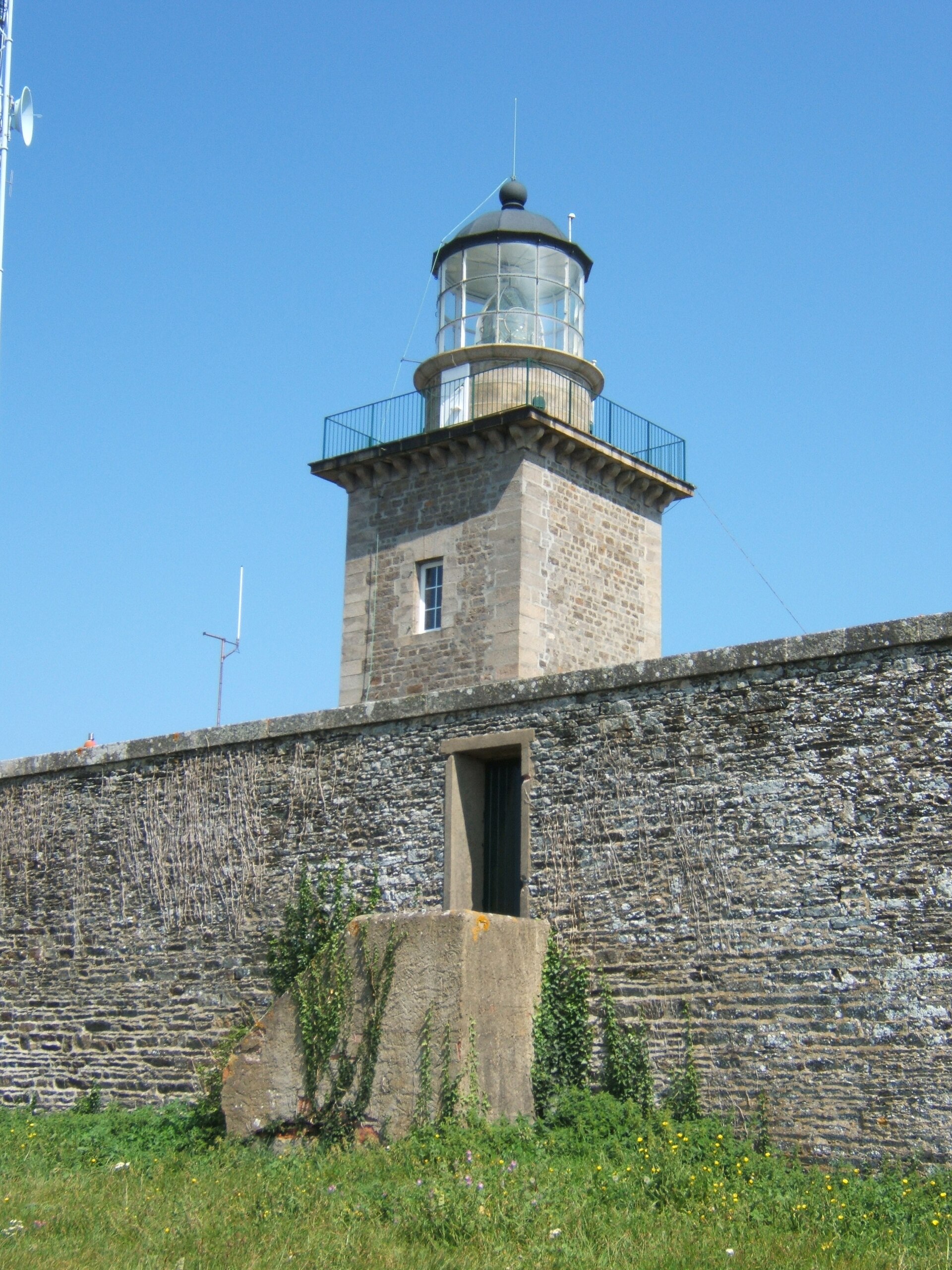
The lighthouse is a cylindrical granite tower standing about 50 metres tall — granite was chosen deliberately, since only stone this dense withstands the constant pounding of waves and salt spray at this spot. The interior is closed to visitors, as the tower sits on an isolated rock surrounded by water, but the view from shore more than makes up for not being able to step inside. The most dramatic moment comes during a storm, when waves crash against the base of the tower and the churning sea turns white with foam. On calmer days, it's a fine spot to watch ships navigating carefully through this narrow and treacherous passage.
The lighthouse was staffed well into the late 20th century: it was electrified in 1971, automated in 1989, and the last keepers left the tower in May 1990. Since 11 May 2009, Phare de Goury has been listed as a French historic monument, recognition of its importance not just as a navigation aid but as part of Normandy's maritime architectural heritage.
When is the best time to visit?
Autumn and winter are when the Raz Blanchard shows its full force — strong winds and high waves turn the site into a real spectacle, though you'll want to dress for the conditions. In summer the sea tends to be calmer and visibility better, making it easier to spot Alderney in the distance. Whatever the season, it's worth checking the tide tables — water level and current strength change the character of the place from hour to hour.
Frequently asked questions
Can you go inside the Goury lighthouse? No, the interior is closed to visitors — the tower stands on a separate rock cut off from land by water. It can only be viewed from the outside, from the quay at Goury.
Why was the lighthouse built here in the first place? Before it was built, 27 ships wrecked along this stretch of coast in a single year. The Raz Blanchard, the strong tidal current between Cap de la Hague and Alderney, was and still is one of Europe's most dangerous stretches of water for shipping.
How do you get to Phare de Goury? The easiest way is by car to the village of Auderville, then a short drive down to the harbour of Goury. Navigation apps like Google Maps or Waze handle the route fine, though the last few kilometres are narrow country roads.
Is the lighthouse still operating? Yes, though it has run fully automatically since 1989 — without permanent keepers, who left the tower in 1990.
Nearby places

Earn badges for the places you visit
Download NextOnTrip, discover new places and check off your trails.