About this place
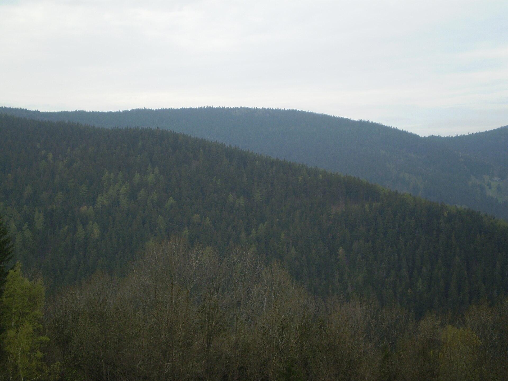
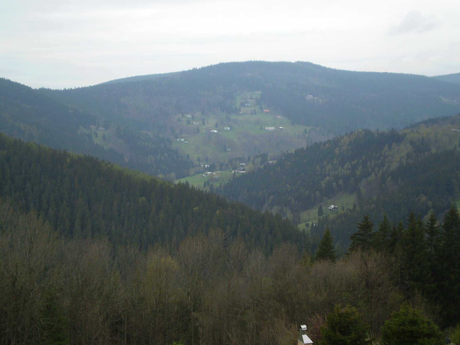
Kozinec is a long, sharply defined hill ridge in the Podkrkonoší foothills, rising directly above the town of Jilemnice in the Czech Semily district. Its summit reaches only 562 metres above sea level, yet the ridge stretches for a full 6 kilometres — from Vejsplach near Vrchlabí to the village of Víchová — while staying only a few dozen metres wide at its narrowest crest. That contrast between length and narrowness is what makes Kozinec such a recognisable landmark for anyone standing in Jilemnice.
Why is Kozinec so long and narrow?
The ridge is built from melaphyre, a hard volcanic rock formed during the Permian and Carboniferous periods, surrounded by much softer sedimentary rock. Over millions of years, erosion stripped away the surrounding soft layers while the resistant melaphyre remained standing as a raised, narrow spine. Two valleys, carved by the Jilemka stream and the Sovinka stream, cut further into the hill, giving it its distinctive jagged profile.
What is there to see at the top?
A viewpoint on Kozinec looks out over Jilemnice and the main ridges of the Krkonoše mountains, including Kotel, the range's central crest, and Žalý with its own lookout tower. Nearby stands the Chapel of St Anne, consecrated in 1908, along with a spring and small shrine dedicated to St Isidore that once supplied the town with water. A two-chamber water reservoir built in 1913, holding 2 × 200 cubic metres, is still visible on the slope.
Was copper ever mined on Kozinec?
Yes. The melaphyre body of Kozinec contains a notably rich mineral assemblage, including azurite, barite, bornite, chalcopyrite, chalcocite, chlorite, chrysocolla, kaolin, quartz, limonite, native copper, gypsum, siderite and tetrahedrite. Copper ore was mined here through the 19th century, most intensively between 1854 and 1860, but the ore's copper content was only around 1.5 percent, which kept the operation only marginally profitable. A final mining attempt took place during the First World War before extraction stopped for good. Old shafts and galleries are still visible on the hillside today, and disused quarries around Valteřice and Jilemnice mark where melaphyre was once cut for road construction.
How can visitors explore Kozinec on foot?
The hill forms part of Jilemnice's own educational trail, "Jilemnice známá neznámá" ("Jilemnice — Known and Unknown"), a yellow-marked loop about 7.5 kilometres long that links the town's historic sights with the surrounding landscape. The route crosses the entire ridge along forest and field paths, passing the viewpoint and the Chapel of St Anne. The gentler lower slopes of Kozinec are covered in meadows and fields, while a narrow band of forest clings to the steeper upper section.
Is there a ski resort nearby?
On the northern slope of the hill, at an elevation between 450 and 520 metres, a small ski resort called Kozinec once operated a roughly 490-metre blue run. It was part of the larger Snowhill ski complex and remained in operation until around 2014.
Frequently asked questions
How high is Kozinec? The ridge's highest point reaches 562 metres above sea level.
How long is the Kozinec ridge? About 6 kilometres, running from Vejsplach near Vrchlabí to the village of Víchová.
What can you see from the Kozinec viewpoint? The town of Jilemnice and the Krkonoše ridges, including Kotel and Žalý with its lookout tower.
Are there any religious landmarks on Kozinec? Yes — the Chapel of St Anne, consecrated in 1908, and a shrine with a spring dedicated to St Isidore.
Why is Kozinec geologically notable? It is built of erosion-resistant melaphyre with a rich mineral content, including traces of historic copper mining.
Nearby places

Earn badges for the places you visit
Download NextOnTrip, discover new places and check off your trails.