Save this place and discover nearby attractions with NextOnTrip
In the app you can add it to your favorites, see what else is worth visiting nearby on the map, and earn a badge for your visit.
The app is available for iPhone and Android.
About this place
Honegg is a forested ridge in the Emmental Alps of the canton of Bern, set between the valleys of Schangnau and Eriz. Trails up the mountain start from the village of Innereriz, and the high point sits at roughly 1,529 m above sea level. It suits walkers who prefer wide woods and pastures to the busier routes around Lake Thun.
What will you see on the Honegg?
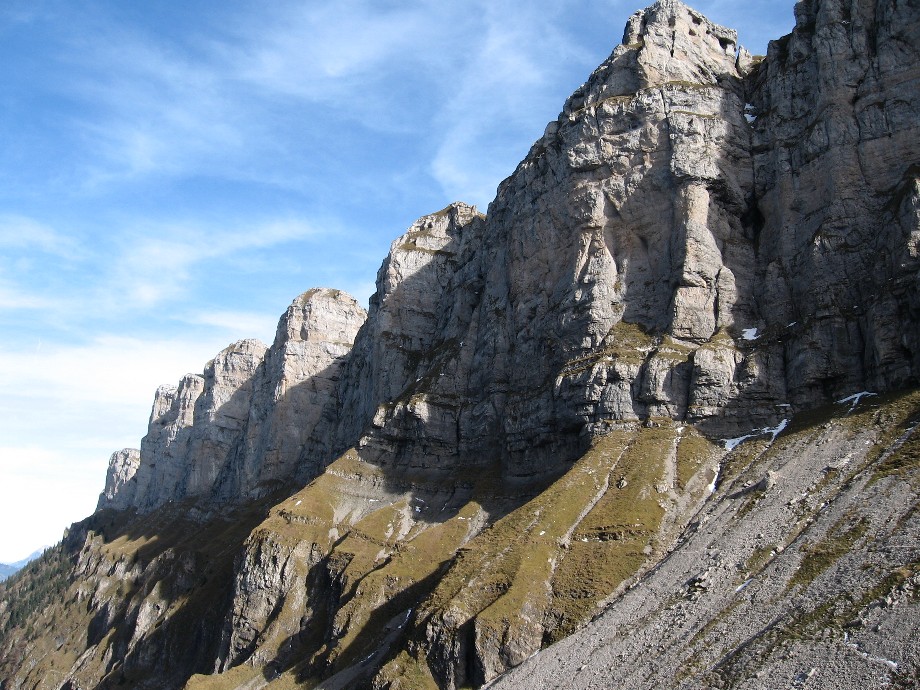
The massif counts among the largest unbroken forest areas in the canton. Paths run through spruce woods, alpine pastures and the Rotmoos raised bog. Where the trees open up, you look across to the Hohgant cliffs, the Justistal valley and the Sigriswilergrat, with the Stockhorn chain and the Emmental hills further away. The Chnubelegg area and the Hintere Kapfern farm are known viewpoints.
How do you get to the Honegg?
Innereriz is the base. From Thun, bus line 41 runs there, and the Innereriz Säge stop lies at about 1,041 m. You can also start at Eriz Losenegg and follow the ridge down to Innereriz. Routes from the village are mountain hikes, so sturdy footwear is needed.
Which routes are worth walking?
- Schwarzenegg to Innereriz panoramic hike: about 14.5 km and 4 h 40 min via Chnubelegg, Honegg and Rotmoos, ending in a fairly steep descent to Innereriz.
- Ridge route from Eriz Losenegg: over Alti Honegg and Scheidzun to Innereriz Säge, around 12 km with 600 m of ascent.
- South-slope loop: roughly 7.3 km and 2 h 20 min from Innereriz, easy, with views of the Hohgant walls and a crossing of Rotmoos.
When should you go?
Snow-free months from late spring to autumn work best. In fog or after rain the steep descents turn slippery and the bog gets wet, so check the forecast. Even summer weekends tend to be quiet here.
Frequently asked questions
Where is the Honegg?
In the Emmental Alps, canton of Bern, between Schangnau and Eriz. The nearest starting village is Innereriz.
How high is it?
About 1,529 m. The Innereriz Säge trailhead is near 1,041 m, so the climb is moderate.
Is it good for families?
The south-slope loop is rated easy. Longer ridge routes need fitness and settled weather.
How do you reach it from Thun?
By bus line 41 to Innereriz. Check the current timetable before you travel.
Nearby places

Earn badges for the places you visit
Download NextOnTrip, discover new places and check off your trails.