About this place
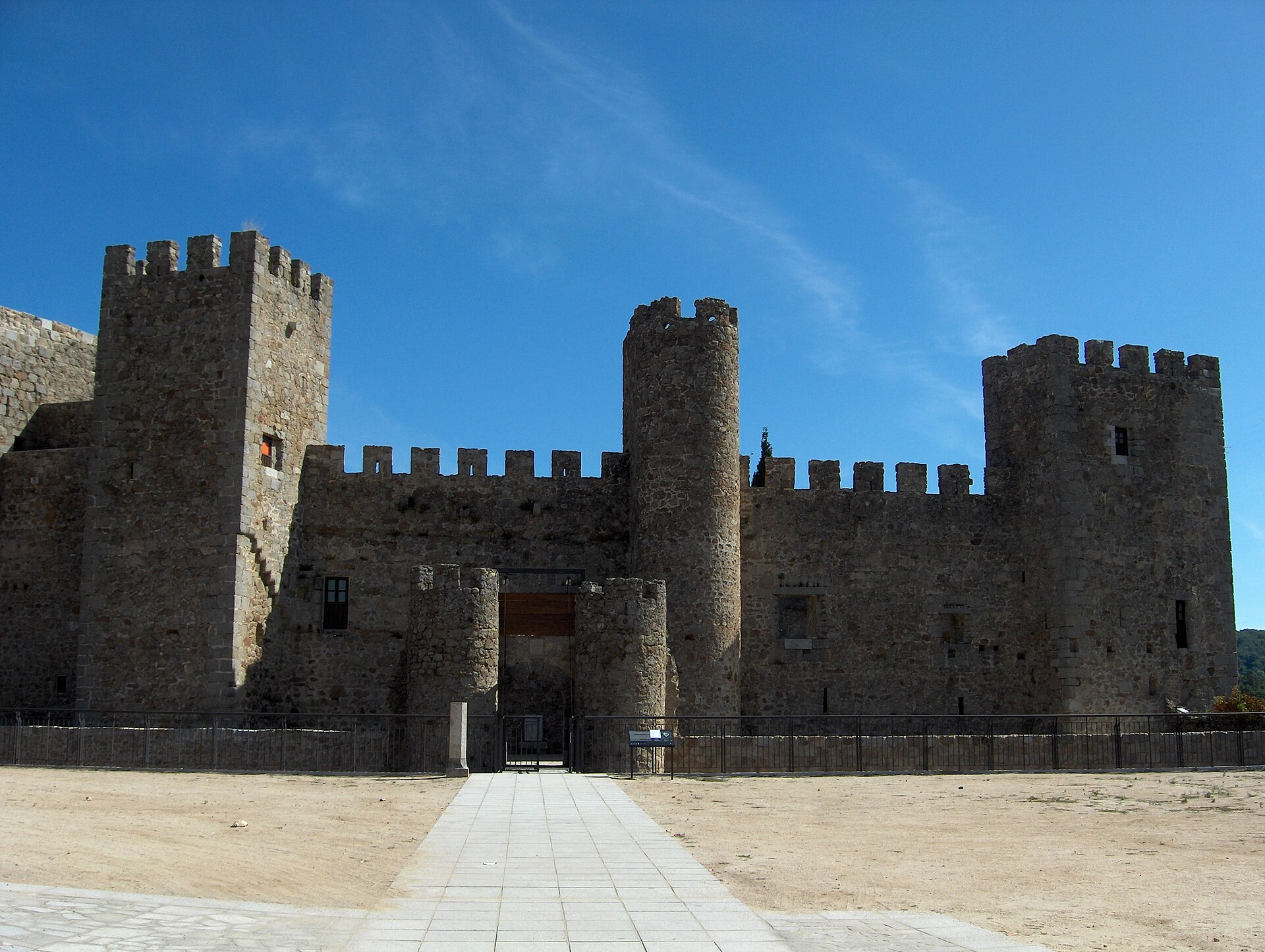
Fortín romano de La Calzada de Béjar is a small but genuinely intriguing Roman defensive structure standing right next to the village of La Calzada de Béjar, in the province of Salamanca, along the route of the ancient Roman road Vía de la Plata.
Where does the fort stand, and why here?
The structure occupies a vantage point overlooking both the surrounding countryside and the Vía de la Plata itself — one of the main Roman roads linking the north and south of the Iberian Peninsula. This stretch marked the transition between the high Meseta plateau and the lowlands of Extremadura, and whoever controlled this crossing effectively controlled the movement of people, troops, and goods along the road. The site was chosen deliberately: holding this point meant holding the route.
When and how was it built?
The building is dated to the late Roman Empire, between the 3rd and 4th centuries AD. It has an almost square floor plan, roughly 29 by 27 metres. The walls were raised in opus incertum, a technique using irregular stones bound with mortar, while the corners were reinforced with larger, worked stone blocks to add structural strength. The entrance is a doorway closed with a semicircular arch, a common architectural solution of the period.
Military outpost or ice store?
For a long time the fort was assumed to be a purely military installation, but a closer look at its features complicates that picture. The openings in the walls, which look at first glance like arrow slits, actually point outward at angles that make little sense for defence — they offer no real field of fire and no cover for anyone trying to shoot from inside. This has led some researchers to propose an alternative explanation: the building may have functioned as a store for snow or ice, used to preserve perishable goods carried along the road — fish, fruit, meat — before they reached their destination. A "snow well" of this kind would have made practical sense as logistics infrastructure on a long trade route, rather than as a military strongpoint in the traditional sense. Both readings, military and logistical, remain in circulation today, and settling the question would require further study.
What condition is the site in now?
The fort currently stands abandoned and serves no function beyond its historical and touristic interest. Because of its poor state of conservation, it appears on the endangered heritage list maintained by the Hispania Nostra association, underlining the need for continued protection. Local authorities do carry out periodic maintenance, both on the structure itself and on the access path leading to it.
How do you get there?
The fort sits directly on the Vía de la Plata route, a path popular with walkers and cyclists covering this historic road, today also part of the Camino de Santiago network. A marked path leads to the site from the village of La Calzada de Béjar, making it a natural stop for anyone travelling the route or exploring the area around Béjar and the province of Salamanca.
Frequently asked questions
How old is the Fortín romano de La Calzada de Béjar? The structure dates to the 3rd–4th century AD, the late period of the Roman Empire.
What was the building used for? It was traditionally seen as a defensive point controlling passage along the Vía de la Plata, though the layout of its wall openings suggests it may instead have served as a store for snow or ice used to preserve goods in transit.
How big is the fort? It has an almost square plan measuring roughly 29 by 27 metres, with reinforced corners and an entrance closed by a semicircular arch.
Can you visit it today? Yes. Although the site is abandoned and listed as endangered heritage, a marked path from La Calzada de Béjar gives access to it, making it reachable on foot for anyone travelling the Vía de la Plata.
Nearby places

Earn badges for the places you visit
Download NextOnTrip, discover new places and check off your trails.